MyTopo
Walker Mountain Oregon US Topo Map
Couldn't load pickup availability
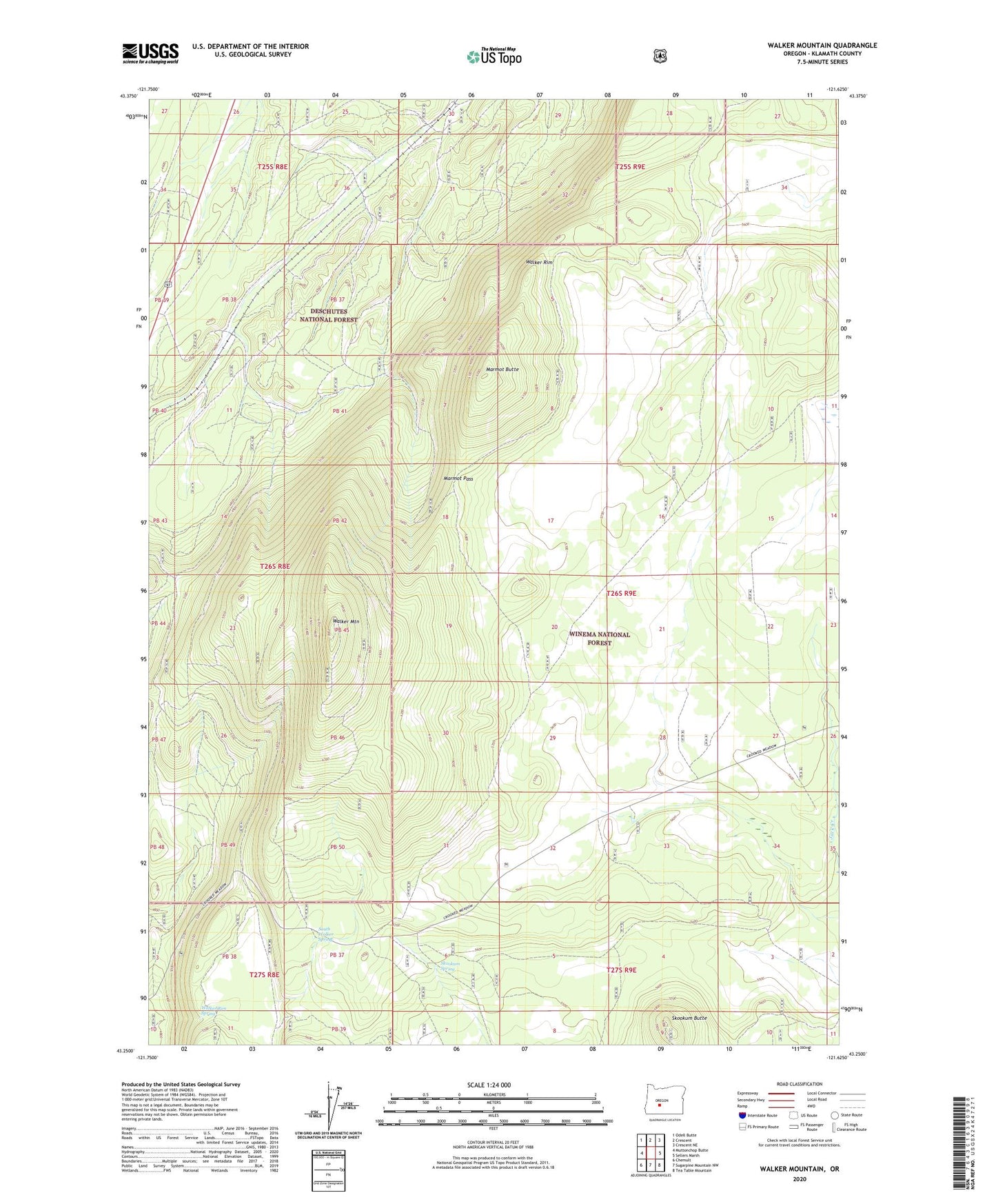
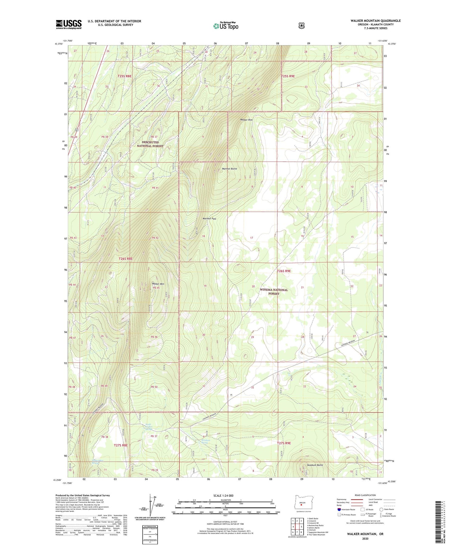
2020 topographic map quadrangle Walker Mountain in the state of Oregon. Scale: 1:24000. Based on the newly updated USGS 7.5' US Topo map series, this map is in the following counties: Klamath. The map contains contour data, water features, and other items you are used to seeing on USGS maps, but also has updated roads and other features. This is the next generation of topographic maps. Printed on high-quality waterproof paper with UV fade-resistant inks.
Quads adjacent to this one:
West: Muttonchop Butte
Northwest: Odell Butte
North: Crescent
Northeast: Crescent NE
East: Sellers Marsh
Southeast: Tea Table Mountain
South: Sugarpine Mountain NW
Southwest: Chemult
Contains the following named places: Lower Walker Quarry, Marmot Butte, Marmot Pass, Skookum Butte, Skookum Spring, South Walker Spring, Walker Mountain, Walker Mountain Lookout station, Walker Rim, Walker Rim Spring