
MyTopo
Jenkinsville South Carolina US Topo Map
Couldn't load pickup availability
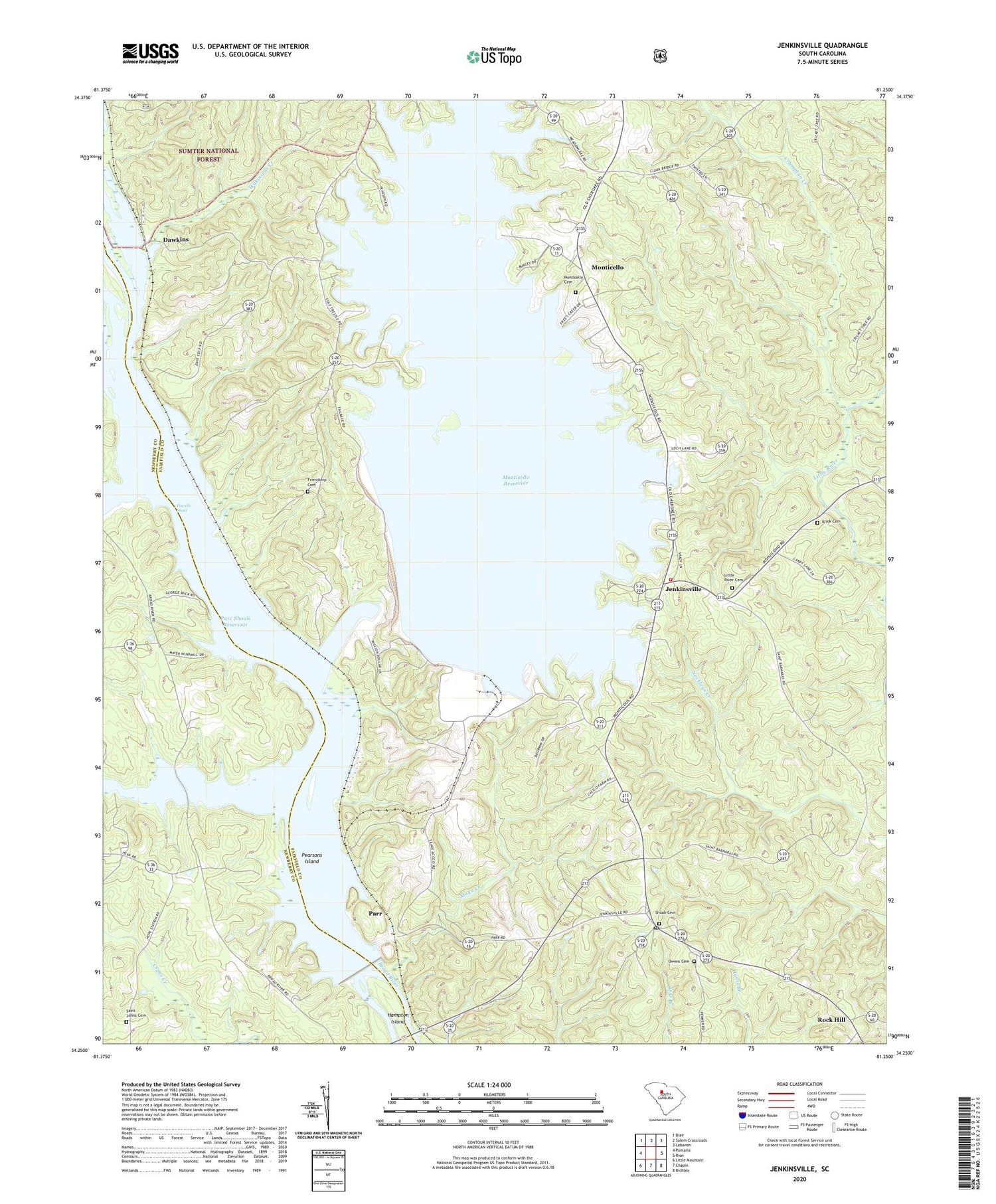
2020 topographic map quadrangle Jenkinsville in the state of South Carolina. Scale: 1:24000. Based on the newly updated USGS 7.5' US Topo map series, this map is in the following counties: Fairfield, Newberry. The map contains contour data, water features, and other items you are used to seeing on USGS maps, but also has updated roads and other features. This is the next generation of topographic maps. Printed on high-quality waterproof paper with UV fade-resistant inks.
Quads adjacent to this one:
West: Pomaria
Northwest: Blair
North: Salem Crossroads
Northeast: Lebanon
East: Rion
Southeast: Richtex
South: Chapin
Southwest: Little Mountain
Contains the following named places: Brick Cemetery, Browns Chapel, Cannons Creek, Crumpton Creek, Dawkins, Dawkins Ferry, Fairfield County Fire Department Jenkinsville, Frees Creek, Friendship Cemetery, Friendship Church, Gibson Meeting House, Hampton Island, Hellers Creek, Holiness Church, Hope School, Hope Station, Hugheys Ferry, Jenkinsville, Little River Cemetery, Little River Church, Mathis School, Mayo Creek, Monticello, Monticello Cemetery, Monticello Methodist Church, Monticello Reservoir, Mount Moriah Church, Old Brick Church, Owens Cemetery, Parr, Parr Shoals Dam, Parr Shoals Power Plant, Pearson Cemetery, Pearsons Island, Powells Shoal, Rock Hill, Rock Hill Church, Rock Hill School, Ruffs Ferry, Saint Barnabas Church, Saint Barnabas School, Saint Holiness School, Saint Johns Cemetery, Saint Johns Lutheran Church, Saint Johns School, Saint Matthews Church, Saint Pauls Church, Saint Peters Church, Saint Peters School, Shiloh Cemetery, Shiloh Church, Somers Mill, Sueville, Summers Station Heliport, Town of Jenkinsville, White Hall Church, White Hall School, Wilkinsons Creek, ZIP Code: 29065


