MyTopo
Chapin South Carolina US Topo Map
Couldn't load pickup availability
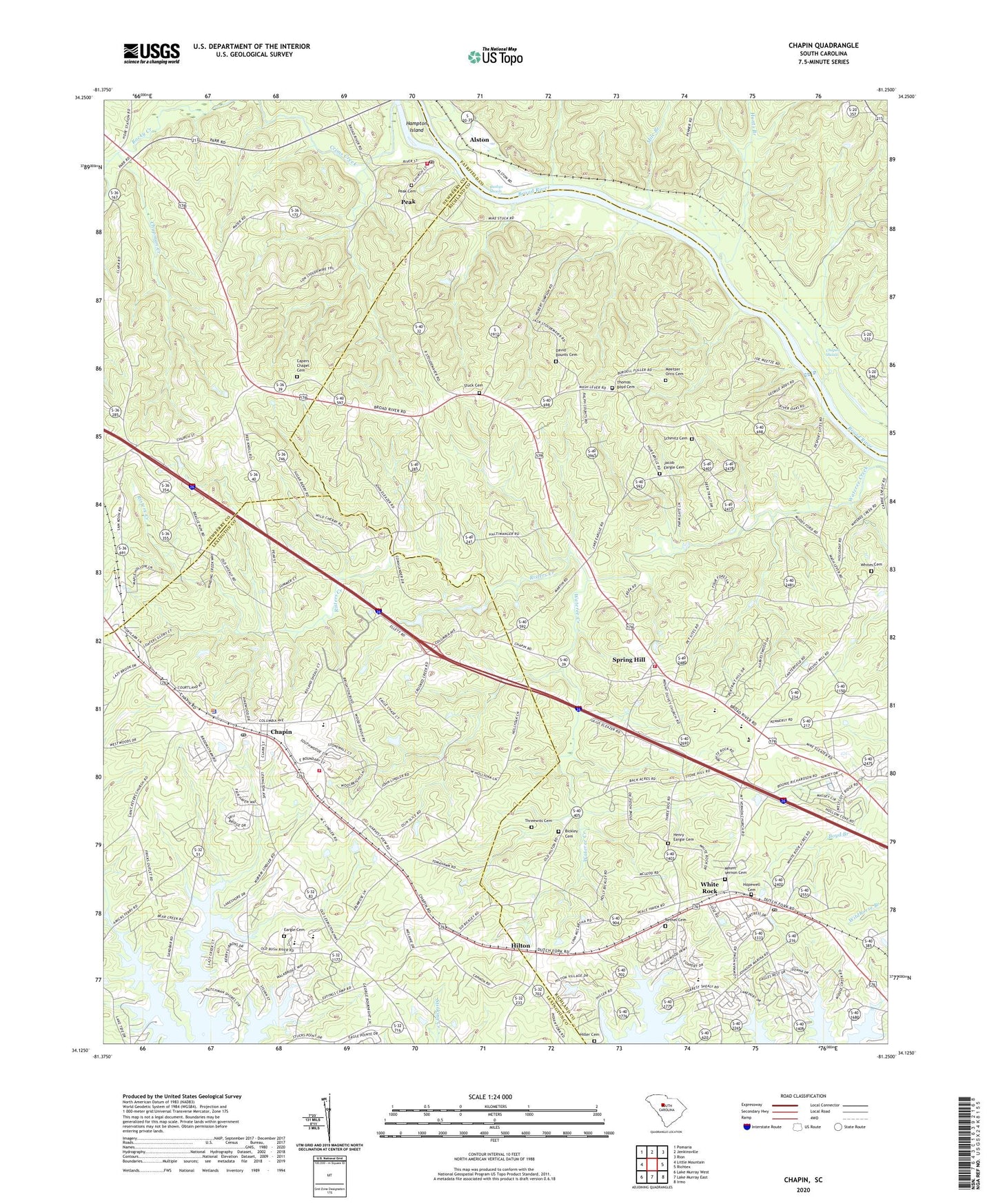
2024 topographic map quadrangle Chapin in the state of South Carolina. Scale: 1:24000. Based on the newly updated USGS 7.5' US Topo map series, this map is in the following counties: Richland, Lexington, Newberry, Fairfield. The map contains contour data, water features, and other items you are used to seeing on USGS maps, but also has updated roads and other features. This is the next generation of topographic maps. Printed on high-quality waterproof paper with UV fade-resistant inks.
Quads adjacent to this one:
West: Little Mountain
Northwest: Pomaria
North: Jenkinsville
Northeast: Rion
East: Richtex
Southeast: Irmo
South: Lake Murray East
Southwest: Lake Murray West
This map covers the same area as the classic USGS quad with code o34081b3.
Contains the following named places: Alston, Bear Creek, Bethel Cemetery, Bethel Church, Bickley Cemetery, Boyd Hill School, Busbys Shoals, Capers Chapel, Capers Chapel Cemetery, Chapels Shoals, Chapin, Chapin Division, Chapin Elementary School, Chapin Park Dam D-1706, Chapin Police Department, Chapman Creek, Columbia - Richland Fire Department Dutch Fork Spring Hill, Crims Creek, David Bounts Cemetery, Eargle Cemetery, Green Valley Estates, Hancocks Old Ferry, Henry Eargle Cemetery, Hiller Cemetery, Hilton, Hopewell Cemetery, Hunts Branch, Hunts Ford, Jacob Eargle Cemetery, Lattakoo, Lexington County Fire Service Chapin Station 11, Lowman Home for the Aged, Meetzer - Orris Cemetery, Mile Branch, Mount Hermon Lutheran Church, Mount Horeb Church, Mount Olivet Church, Mount Vernon Cemetery, Mount Zion Church, Newberry County Rural Fire Department Peak, Peak, Peak Cemetery, Peak School, Piney Grove Church, Piney Grove School, Risters Creek, Rocky Creek, Saint Jacobs Evangelical Lutheran Church, Saint Johns Church, Saint Simons Church, Schmitz Cemetery, Spring Hill, Spring Hill School, Stonewall Church, Stuck Cemetery, Summerville, Summerville School, Thomas Boyd Cemetery, Threewits Cemetery, Town of Chapin, Town of Peak, Wallaceville, White Rock, White Rock Post Office, Whites Cemetery, ZIP Codes: 29036, 29075, 29122


