MyTopo
Kiawah Island South Carolina US Topo Map
Couldn't load pickup availability
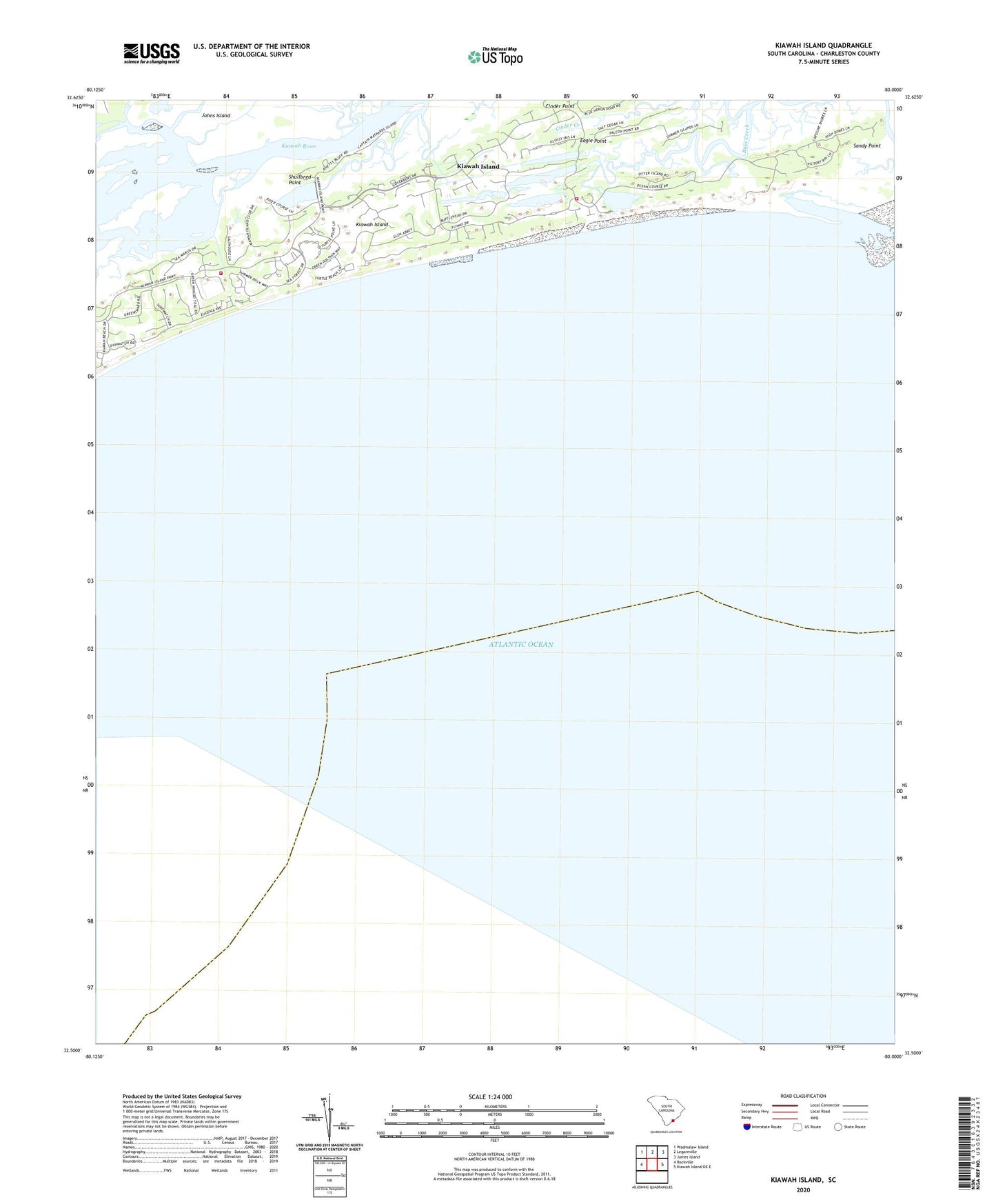
2020 topographic map quadrangle Kiawah Island in the state of South Carolina. Scale: 1:24000. Based on the newly updated USGS 7.5' US Topo map series, this map is in the following counties: Charleston. The map contains contour data, water features, and other items you are used to seeing on USGS maps, but also has updated roads and other features. This is the next generation of topographic maps. Printed on high-quality waterproof paper with UV fade-resistant inks.
Quads adjacent to this one:
West: Rockville
Northwest: Wadmalaw Island
North: Legareville
Northeast: James Island
East: Kiawah Island OE E
Contains the following named places: Bryans Creek, Cinder Point, Eagle Point, Haulover Creek, Kiawah Island, Kiawah Island Bass Pond D-3047 Dam, Kiawah Island-Seabrook Island Division, Ocean Course Golf Course, Saint Johns Fire Department Station 4, Saint Johns Fire Department Station 6, Sandy Point, Shullbred Point, Town of Kiawah Island, ZIP Code: 29455