MyTopo
Bend South Dakota US Topo Map
Couldn't load pickup availability
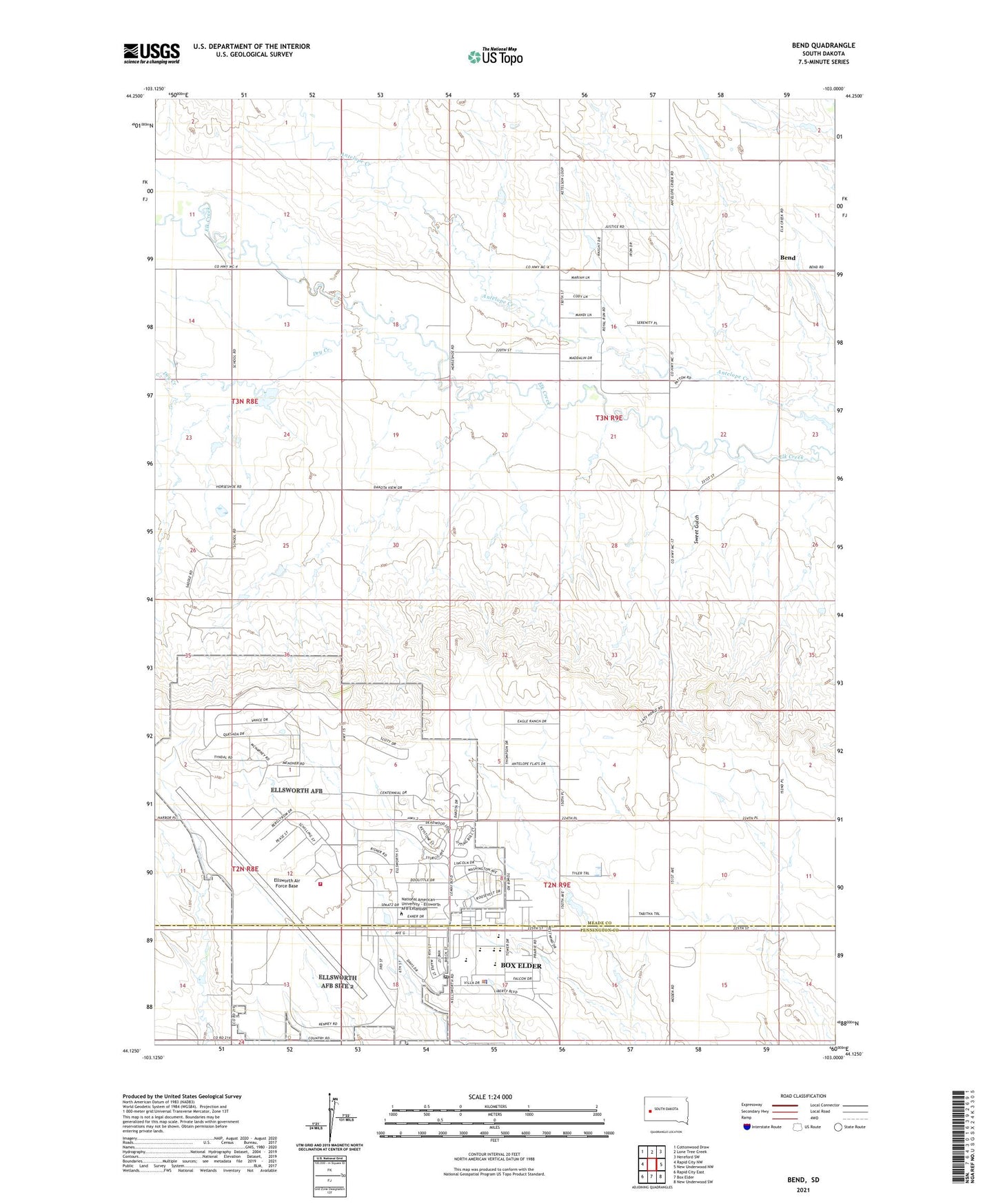
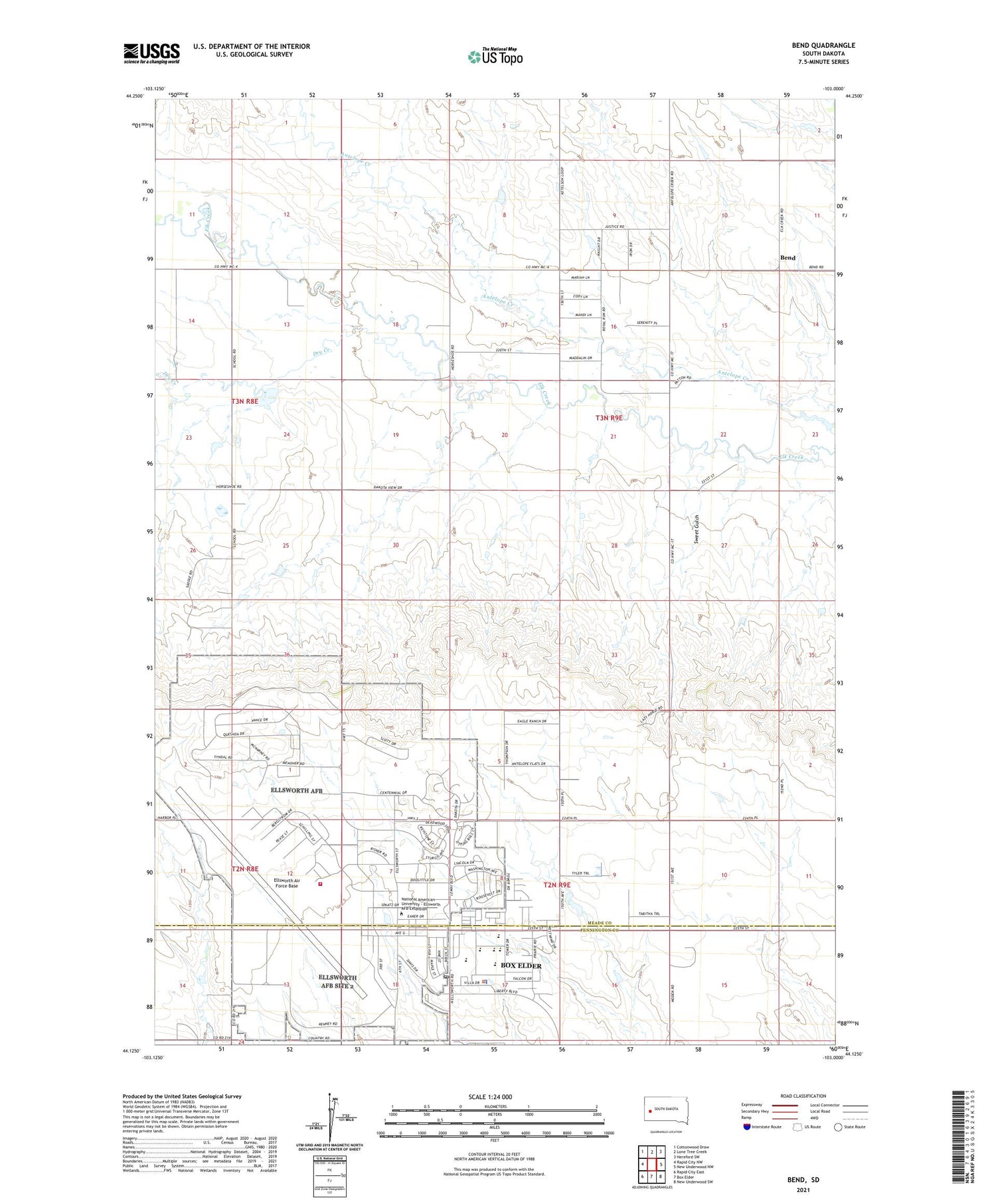
2021 topographic map quadrangle Bend in the state of South Dakota. Scale: 1:24000. Based on the newly updated USGS 7.5' US Topo map series, this map is in the following counties: Meade, Pennington. The map contains contour data, water features, and other items you are used to seeing on USGS maps, but also has updated roads and other features. This is the next generation of topographic maps. Printed on high-quality waterproof paper with UV fade-resistant inks.
Quads adjacent to this one:
West: Rapid City NW
Northwest: Cottonwood Draw
North: Lone Tree Creek
Northeast: Hereford SW
East: New Underwood NW
Southeast: New Underwood SW
South: Box Elder
Southwest: Rapid City East
Contains the following named places: Badger Clark/Carrousel Elementary School, Bend, Bend School, Box Elder City Hall, Box Elder Police Department, Box Elder Post Office, Douglas High School, Douglas Middle School, Dry Creek, Elk Dale School, Ellsworth Air Force Base, Ellsworth Air Force Base Census Designated Place, Ellsworth Air Force Base Fire Department, Francis Case Elementary School, Pleasant Hill School, Running Colors Airport, South Dakota Air and Space Museum, Sweet Gulch, Vandenberg Elementary School, Villa Ranchero Shopping Center, ZIP Code: 57706