MyTopo
Boneita Springs South Dakota US Topo Map
Couldn't load pickup availability
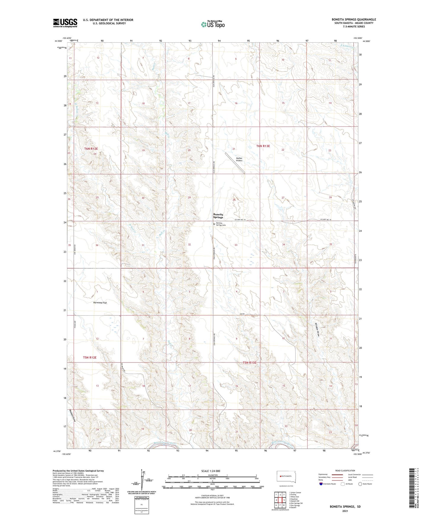
2021 topographic map quadrangle Boneita Springs in the state of South Dakota. Scale: 1:24000. Based on the newly updated USGS 7.5' US Topo map series, this map is in the following counties: Meade. The map contains contour data, water features, and other items you are used to seeing on USGS maps, but also has updated roads and other features. This is the next generation of topographic maps. Printed on high-quality waterproof paper with UV fade-resistant inks.
Quads adjacent to this one:
West: Haydraw
Northwest: Union Center
North: Enning
Northeast: White Owl
East: Dalzell NW
Southeast: Dalzell
South: Elm Springs
Southwest: Elm Springs SW
Contains the following named places: Barber Airport, Barry Dam, Boneita Springs, Boneita Springs Cemetery, Boneita Springs Dam, Boneita Springs School, Bonita Springs Lake Dam, Harwood Flat, Hope School, Killdeer Draw, Township of Boneita Springs, West Bull Creek