MyTopo
Union Center South Dakota US Topo Map
Couldn't load pickup availability
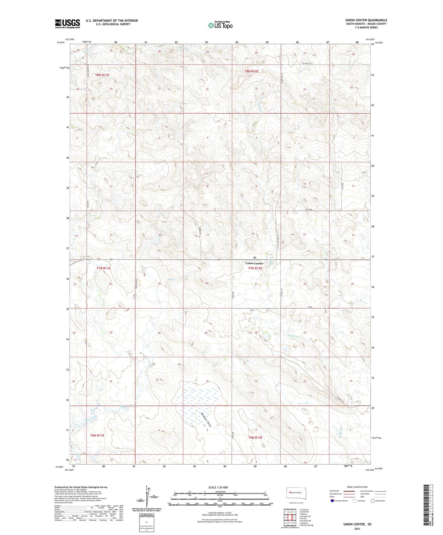
2021 topographic map quadrangle Union Center in the state of South Dakota. Scale: 1:24000. Based on the newly updated USGS 7.5' US Topo map series, this map is in the following counties: Meade. The map contains contour data, water features, and other items you are used to seeing on USGS maps, but also has updated roads and other features. This is the next generation of topographic maps. Printed on high-quality waterproof paper with UV fade-resistant inks.
Quads adjacent to this one:
West: Fairpoint SE
Northwest: Fairpoint
North: Stoneville
Northeast: Redowl
East: Enning
Southeast: Boneita Springs
South: Haydraw
Southwest: Hereford NE
This map covers the same area as the classic USGS quad with code o44102e6.
Contains the following named places: Floyd Strong Dam, M P Ranch, Meade County, South Pleasant View School, Township of Buena Vista, Union Center, Union Center Census Designated Place, Union Center Post Office