MyTopo
Canning South Dakota US Topo Map
Couldn't load pickup availability
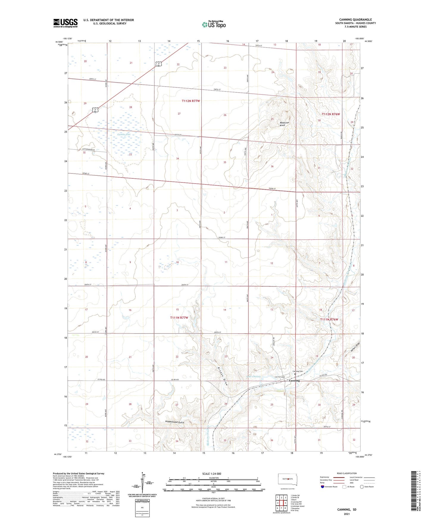
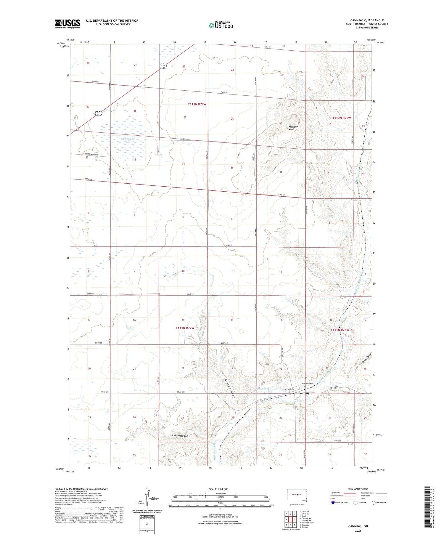
2021 topographic map quadrangle Canning in the state of South Dakota. Scale: 1:24000. Based on the newly updated USGS 7.5' US Topo map series, this map is in the following counties: Hughes. The map contains contour data, water features, and other items you are used to seeing on USGS maps, but also has updated roads and other features. This is the next generation of topographic maps. Printed on high-quality waterproof paper with UV fade-resistant inks.
Quads adjacent to this one:
West: Canning NW
Northwest: Onida SW
North: Onida SE
Northeast: Blunt
East: De Grey NW
Southeast: De Grey
South: Rousseau
Southwest: Antelope Island
Contains the following named places: Brekke Draw, Canning, Canning Cemetery, Dehart Draw, Gumbo Flat, Hiddenwood Gulch, Lake Chesley, Medicine Knoll, Runge Ranch Airstrip, Township of Canning, Township of Logan