MyTopo
Cottonwood SW South Dakota US Topo Map
Couldn't load pickup availability
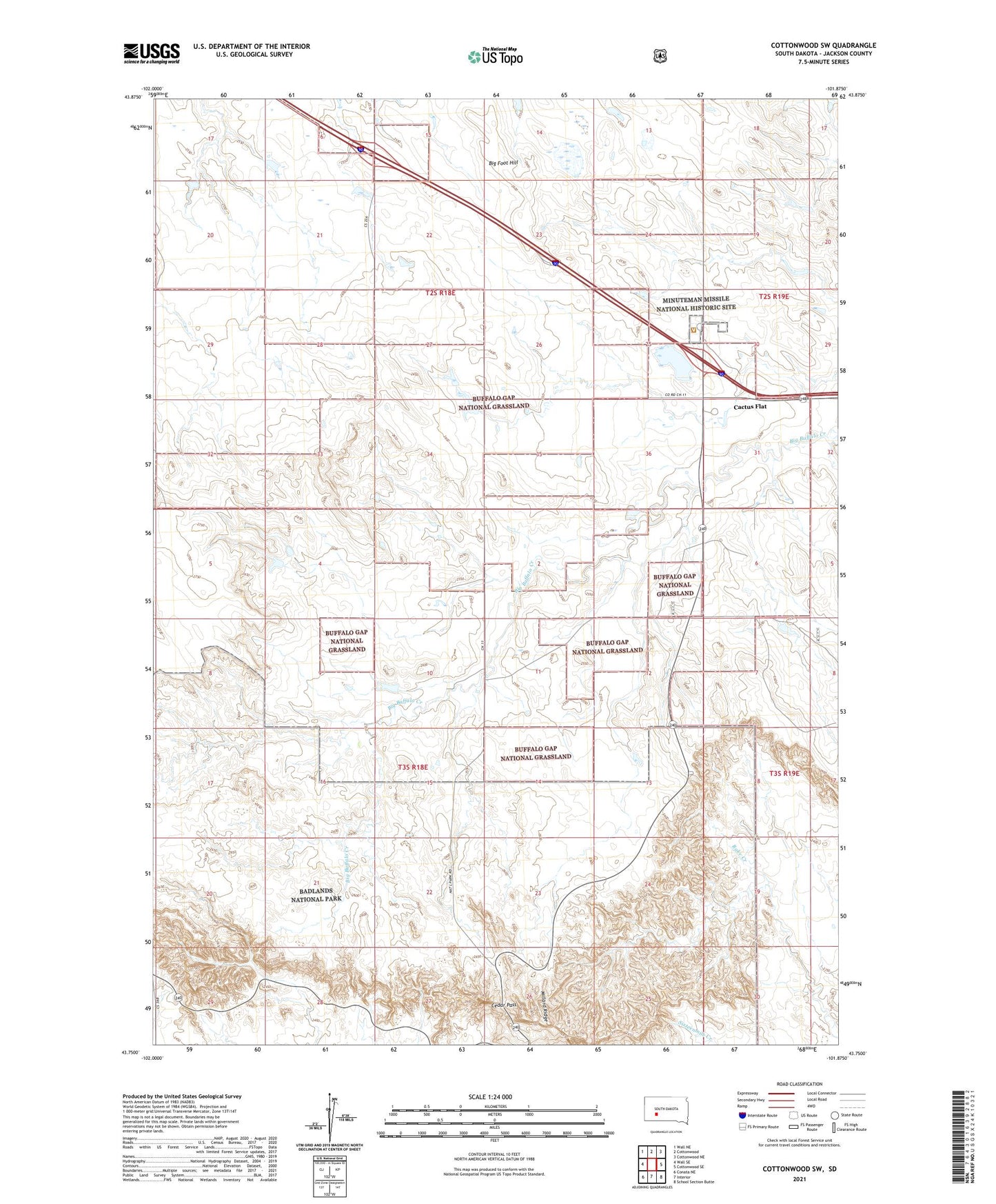
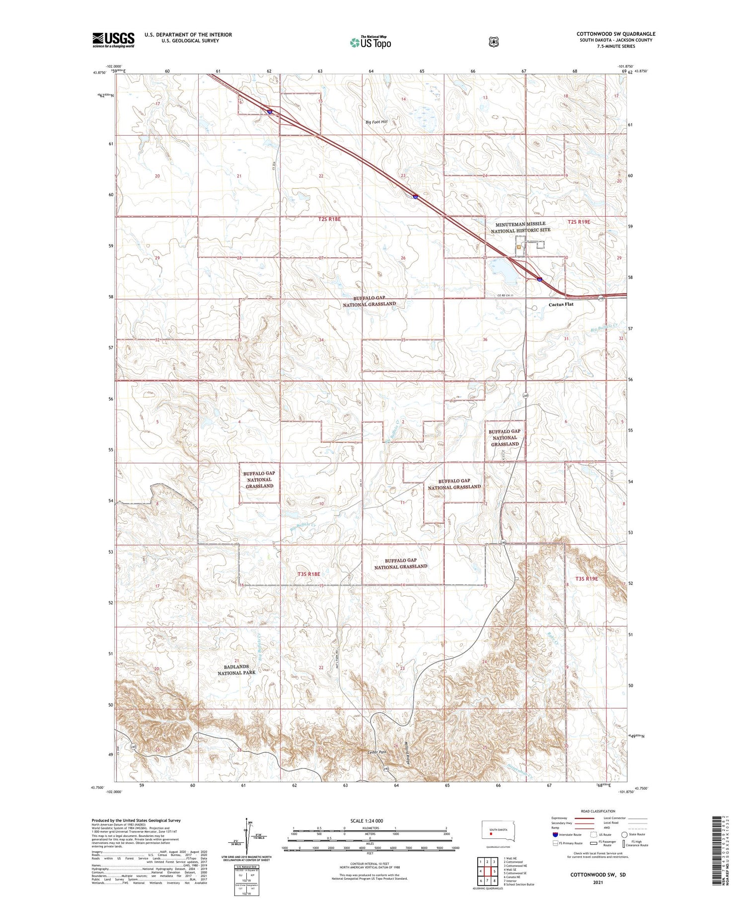
2021 topographic map quadrangle Cottonwood SW in the state of South Dakota. Scale: 1:24000. Based on the newly updated USGS 7.5' US Topo map series, this map is in the following counties: Jackson. The map contains contour data, water features, and other items you are used to seeing on USGS maps, but also has updated roads and other features. This is the next generation of topographic maps. Printed on high-quality waterproof paper with UV fade-resistant inks.
Quads adjacent to this one:
West: Wall SE
Northwest: Wall NE
North: Cottonwood
Northeast: Cottonwood NE
East: Cottonwood SE
Southeast: School Section Butte
South: Interior
Southwest: Conata NE
Contains the following named places: Badlands Airfield, Big Foot Hill, Cactus Flat, Cedar Pass, Millard Ridge, Minuteman Missile National Historic Site, Township of Cedar, Township of Interior