MyTopo
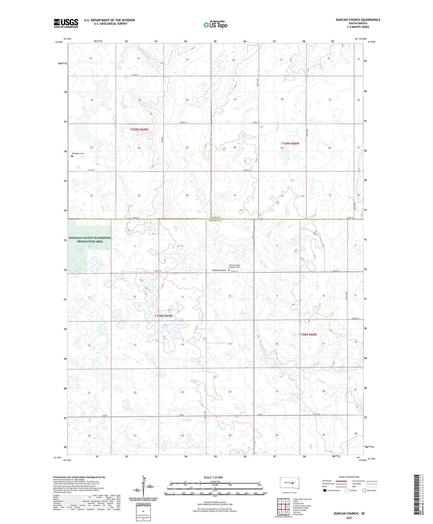
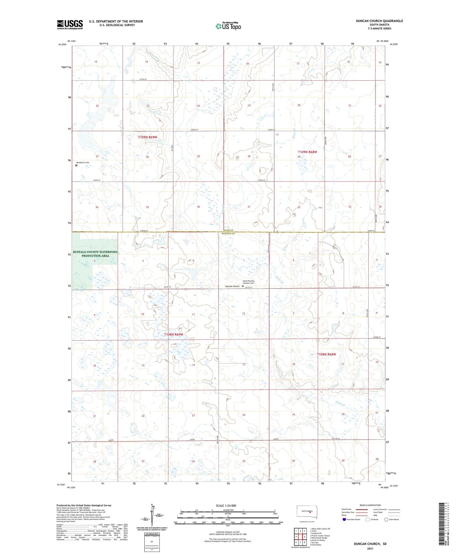
Duncan Church South Dakota US Topo Map
Couldn't load pickup availability
2021 topographic map quadrangle Duncan Church in the state of South Dakota. Scale: 1:24000. Based on the newly updated USGS 7.5' US Topo map series, this map is in the following counties: Buffalo, Hand. The map contains contour data, water features, and other items you are used to seeing on USGS maps, but also has updated roads and other features. This is the next generation of topographic maps. Printed on high-quality waterproof paper with UV fade-resistant inks.
Quads adjacent to this one:
West: Prairie Center School
Northwest: Miller Dale Colony SW
North: Ames
Northeast: Vayland SW
East: Mittelstedt Slough
Southeast: Gannvalley
South: Dry Run
Southwest: North of Shelby
Contains the following named places: Abernathy Dam, Bkeha Dam, Duncan, Duncan Church, Duncan School Number 3, Hayes School, Hayes Stockwater Dam, Mondamin Cemetery, Saint Placidus Catholic Cemetery, Township of Grant, Township of Mondamin, Township of Pleasant Valley, Unorganized Territory of North Buffalo