MyTopo
Elevenmile Corner South Dakota US Topo Map
Couldn't load pickup availability
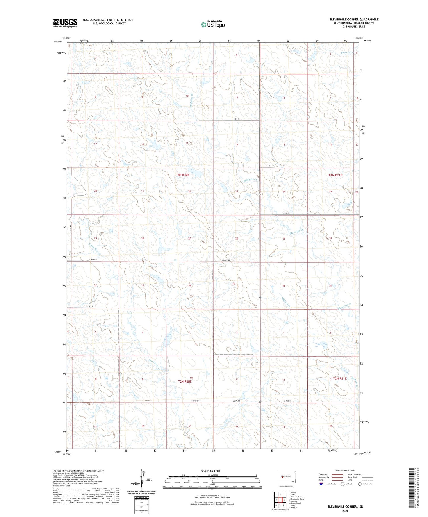
2021 topographic map quadrangle Elevenmile Corner in the state of South Dakota. Scale: 1:24000. Based on the newly updated USGS 7.5' US Topo map series, this map is in the following counties: Haakon. The map contains contour data, water features, and other items you are used to seeing on USGS maps, but also has updated roads and other features. This is the next generation of topographic maps. Printed on high-quality waterproof paper with UV fade-resistant inks.
Quads adjacent to this one:
West: Grindstone Butte
Northwest: Hilland
North: Elbon
Northeast: Tornado Ranch
East: Lucerne
Southeast: Philip SE
South: Philip
Southwest: Bowen Ranch
Contains the following named places: Couch Ranch, Elevenmile Corner, Enterprise School, Lamm Ranch, Little Grindstone Creek, McIlravy Ranch, Township of Pleasant Valley