MyTopo
Lake Byron South Dakota US Topo Map
Couldn't load pickup availability
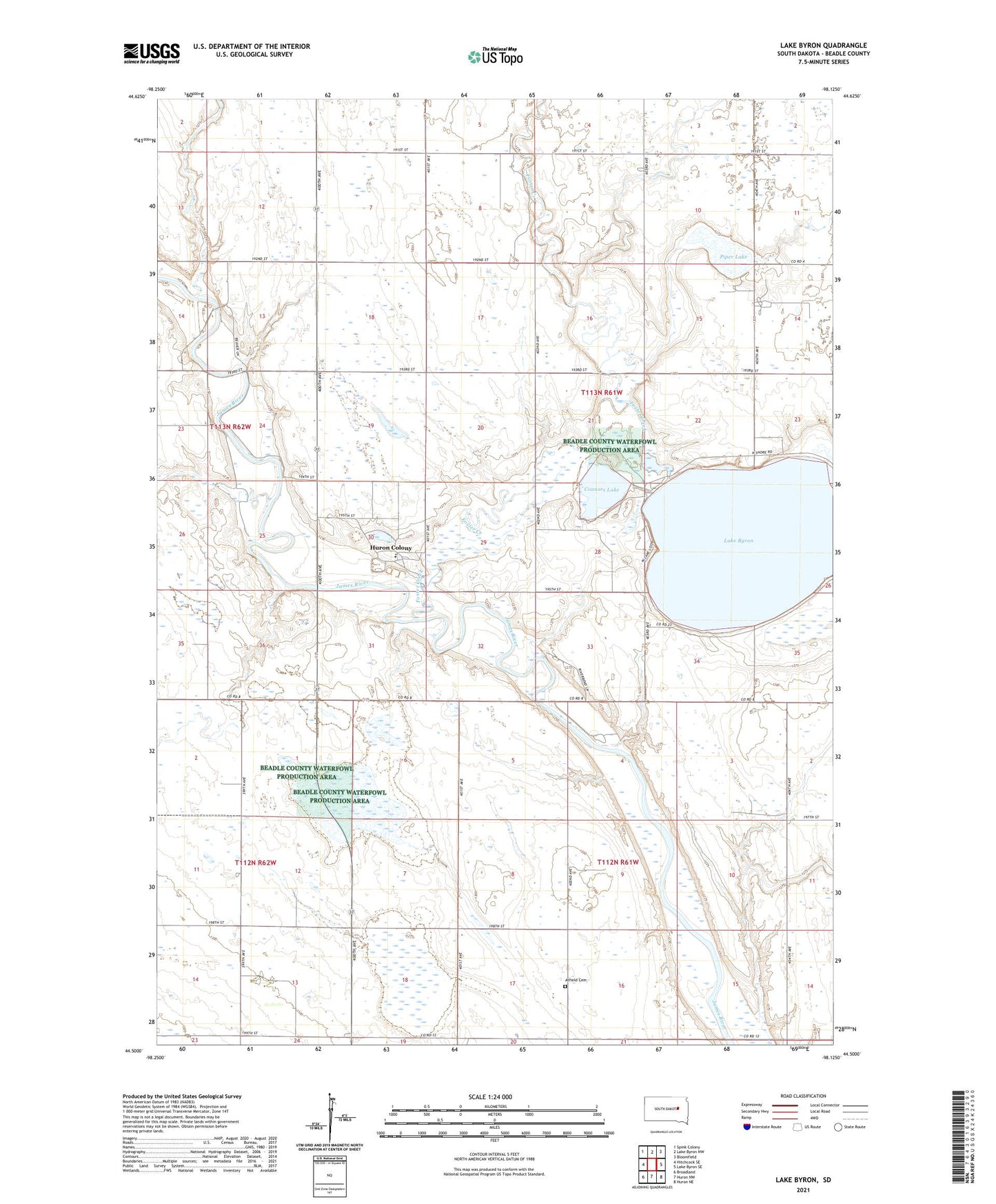
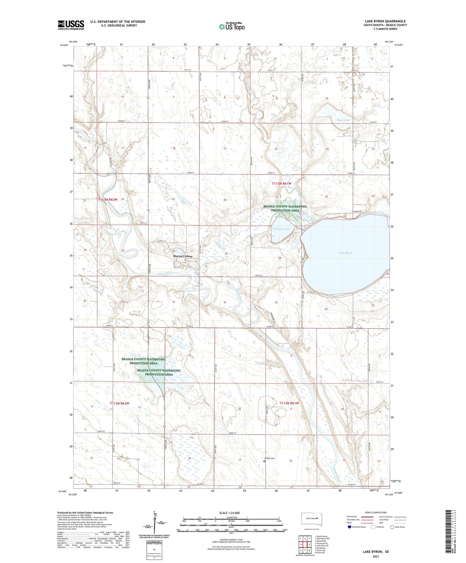
2021 topographic map quadrangle Lake Byron in the state of South Dakota. Scale: 1:24000. Based on the newly updated USGS 7.5' US Topo map series, this map is in the following counties: Beadle. The map contains contour data, water features, and other items you are used to seeing on USGS maps, but also has updated roads and other features. This is the next generation of topographic maps. Printed on high-quality waterproof paper with UV fade-resistant inks.
Quads adjacent to this one:
West: Hitchcock SE
Northwest: Spink Colony
North: Lake Byron NW
Northeast: Bloomfield
East: Lake Byron SE
Southeast: Huron NE
South: Huron NW
Southwest: Broadland
Contains the following named places: Atfield Cemetery, Byron Camp, Connors Lake, Foster Creek, Huron Colony, Huron Colony Census Designated Place, Huron Colony Elementary School, James Diversion Dam, Lake Byron, Lake Byron School, Piper Lake, School Number 4, Township of Iowa, Township of Lake Byron