MyTopo
Lake Madison South Dakota US Topo Map
Couldn't load pickup availability
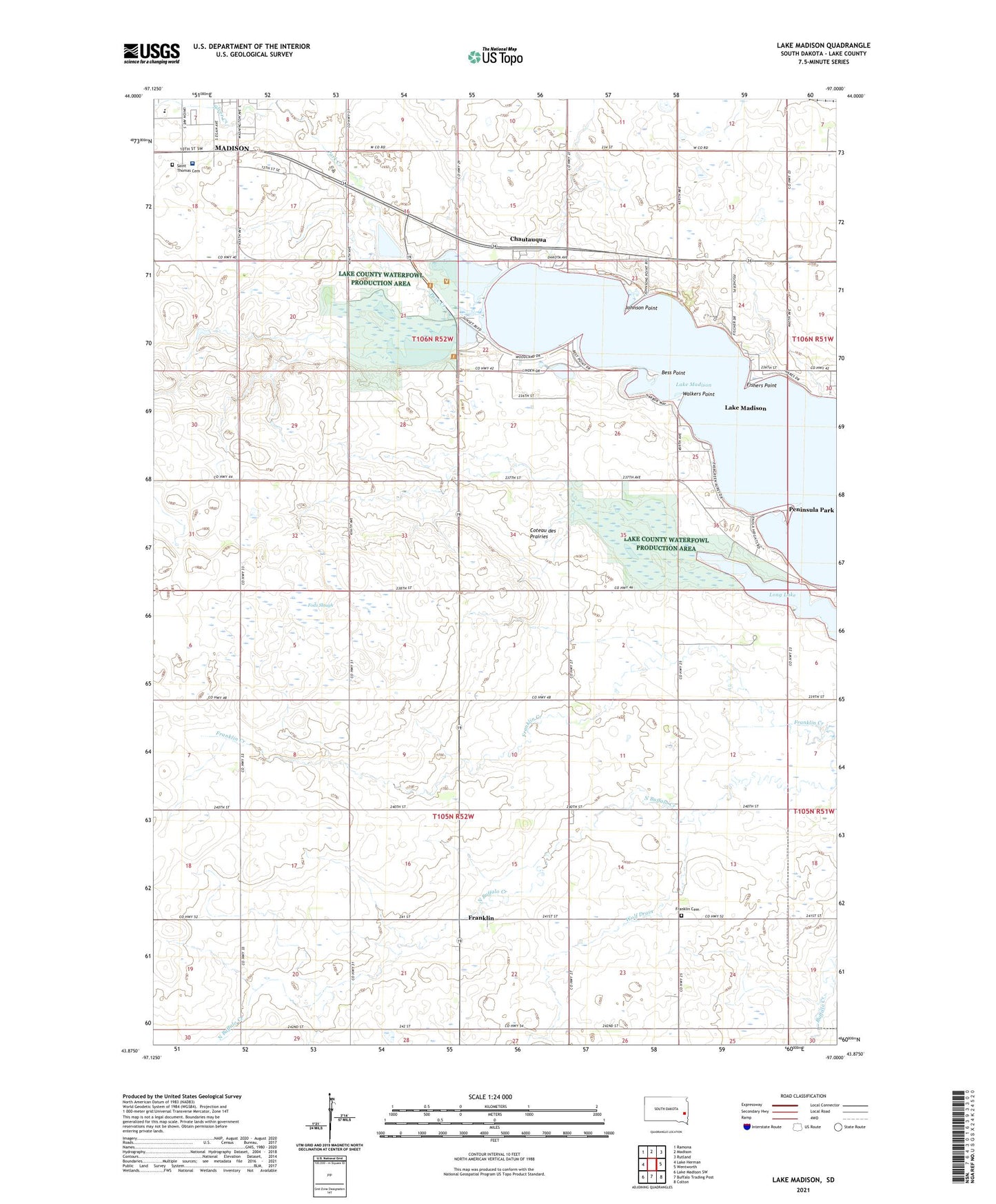
2021 topographic map quadrangle Lake Madison in the state of South Dakota. Scale: 1:24000. Based on the newly updated USGS 7.5' US Topo map series, this map is in the following counties: Lake. The map contains contour data, water features, and other items you are used to seeing on USGS maps, but also has updated roads and other features. This is the next generation of topographic maps. Printed on high-quality waterproof paper with UV fade-resistant inks.
Quads adjacent to this one:
West: Lake Herman
Northwest: Ramona
North: Madison
Northeast: Rutland
East: Wentworth
Southeast: Colton
South: Buffalo Trading Post
Southwest: Lake Madison SW
Contains the following named places: Bess Point, Bourne Slough, Chautauqua, Chester, Fishers Point, Fods Slough, Franklin, Franklin Cemetery, Johnson Point, Lake Madison, Lake Madison Census Designated Place, Long Lake, Madison Community Hospital, Park Creek, Peninsula Park, Saint Thomas Cemetery, Silver Creek, Township of Antelope, Township of Franklin, Township of Lake View, Walkers Point, Wolf Drain