MyTopo
Lebanon South Dakota US Topo Map
Couldn't load pickup availability
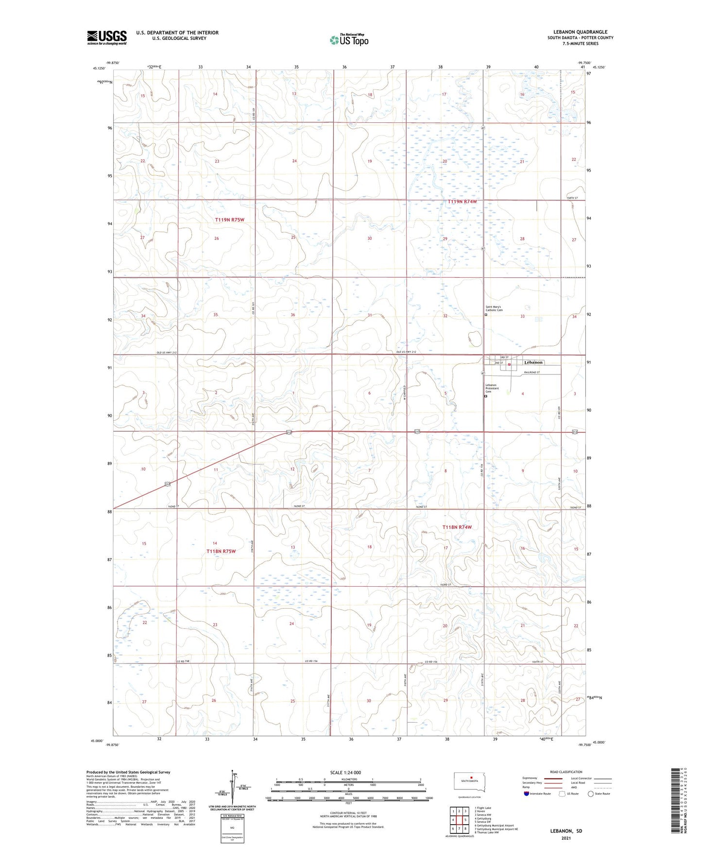
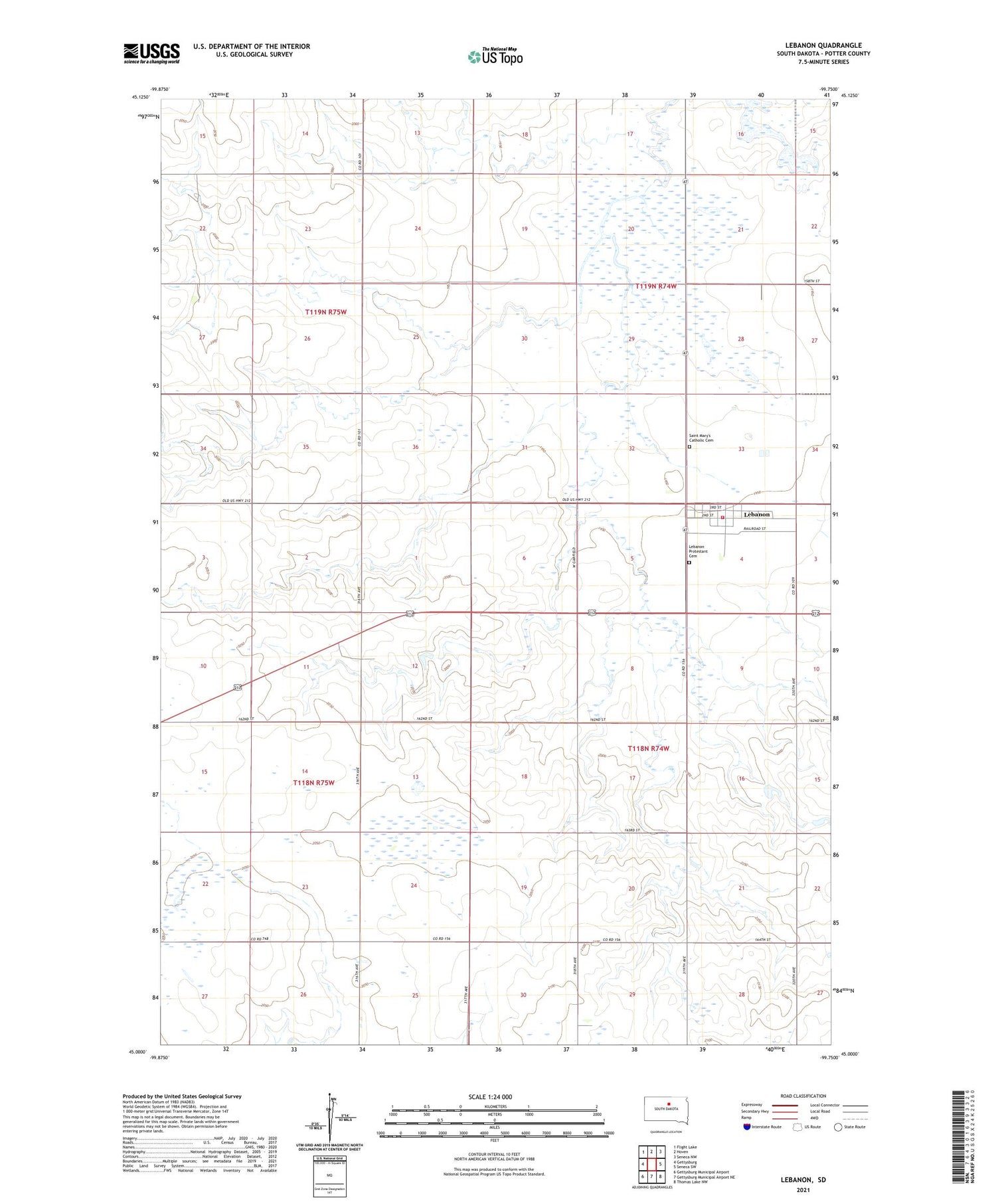
2021 topographic map quadrangle Lebanon in the state of South Dakota. Scale: 1:24000. Based on the newly updated USGS 7.5' US Topo map series, this map is in the following counties: Potter. The map contains contour data, water features, and other items you are used to seeing on USGS maps, but also has updated roads and other features. This is the next generation of topographic maps. Printed on high-quality waterproof paper with UV fade-resistant inks.
Quads adjacent to this one:
West: Gettysburg
Northwest: Flight Lake
North: Hoven
Northeast: Seneca NW
East: Seneca SW
Southeast: Thomas Lake NW
South: Gettysburg Municipal Airport NE
Southwest: Gettysburg Municipal Airport
Contains the following named places: Dale and Leonard Eriksen Dam, Lebanon, Lebanon Protestant Cemetery, Lebanon Volunteer Fire Department, Philip H Hamburger Dam, Saint Mary's Catholic Cemetery, Town of Lebanon, Township of Cunningham, Township of Lucas