MyTopo
Madison South Dakota US Topo Map
Couldn't load pickup availability
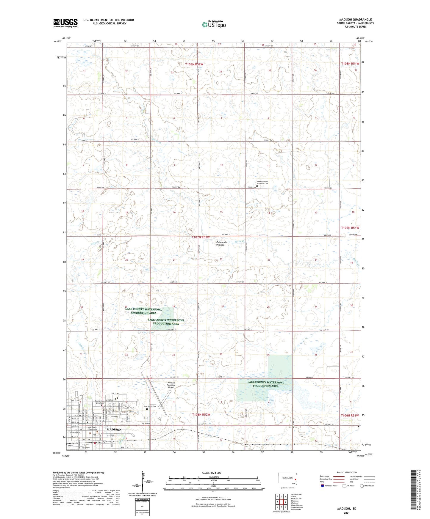
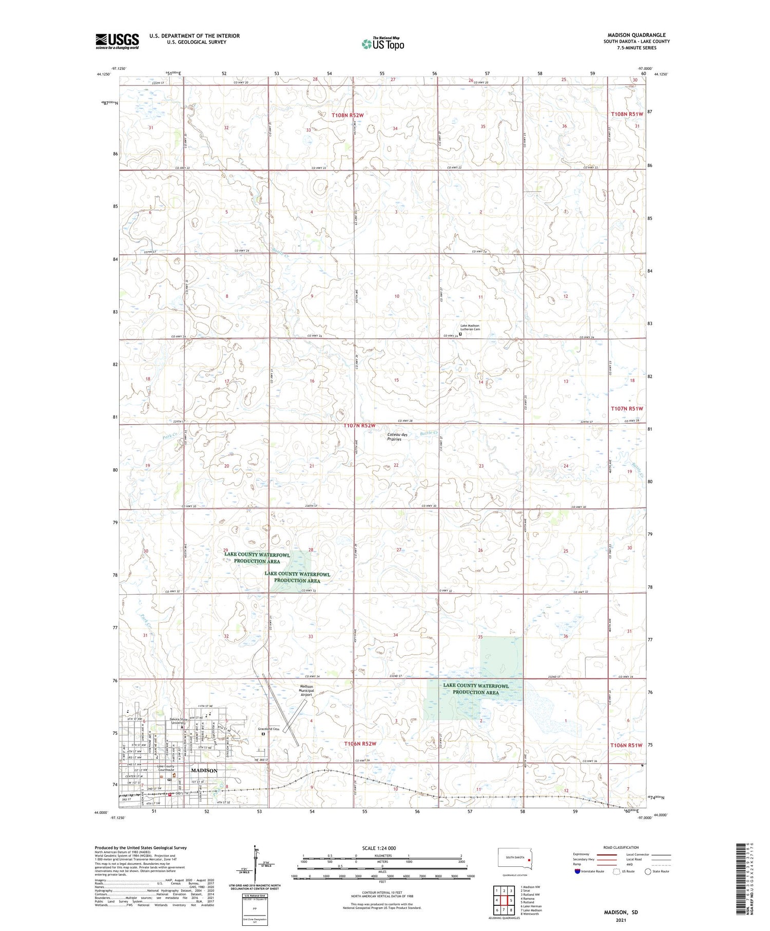
2021 topographic map quadrangle Madison in the state of South Dakota. Scale: 1:24000. Based on the newly updated USGS 7.5' US Topo map series, this map is in the following counties: Lake. The map contains contour data, water features, and other items you are used to seeing on USGS maps, but also has updated roads and other features. This is the next generation of topographic maps. Printed on high-quality waterproof paper with UV fade-resistant inks.
Quads adjacent to this one:
West: Ramona
Northwest: Madison NW
North: Sinai
Northeast: Rutland NW
East: Rutland
Southeast: Wentworth
South: Lake Madison
Southwest: Lake Herman
Contains the following named places: Baughman Park, Beadle Hall, Central High School, City of Madison, Dakota State University, East Hall, Emry Hall, Garfield School, Graceland Cemetery, Heston Hall, Higbee Hall, Karl E Mundt Library, Kennedy Center, Lake County Courthouse, Lake County Jail, Lake County Sheriff's Office, Lake Madison Church, Lake Madison Lutheran Cemetery, Lincoln School, Lowry Hall, Madison, Madison City Hall, Madison Community Center, Madison Elementary School, Madison Fire Department, Madison High School, Madison Middle School, Madison Municipal Airport, Madison Police Department, Madison Post Office, Madison Public Library, Richardson Hall, Saint Thomas School, Science Center, Smith Zimmermann Museum, Township of Lake Center, Township of Le Roy, Trojan Center, Trojan Field, Tunheim Classroom Building, Washington School, Wentworth Roadside Park, Zimmermann Hall