MyTopo
Medary South Dakota US Topo Map
Couldn't load pickup availability
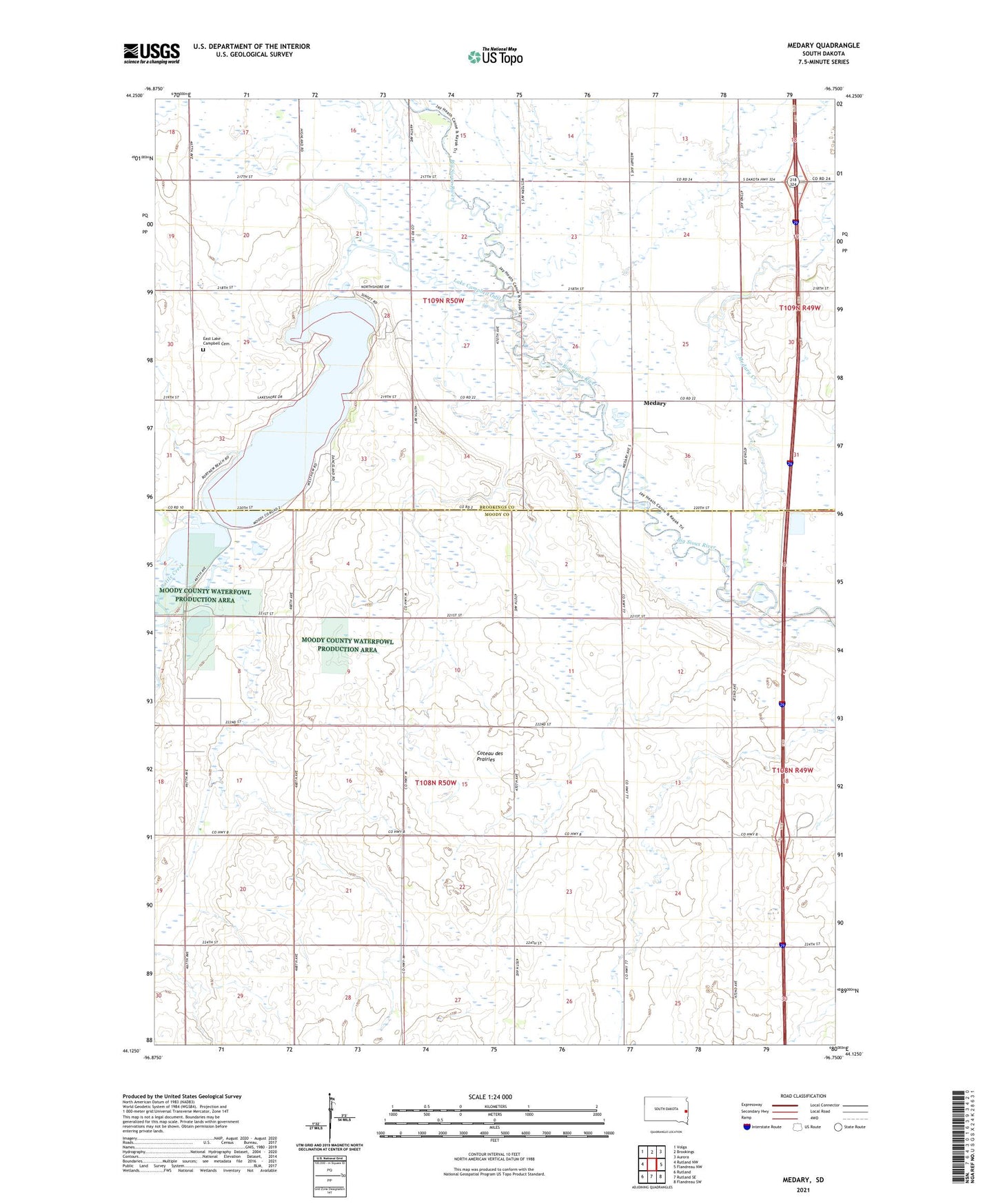
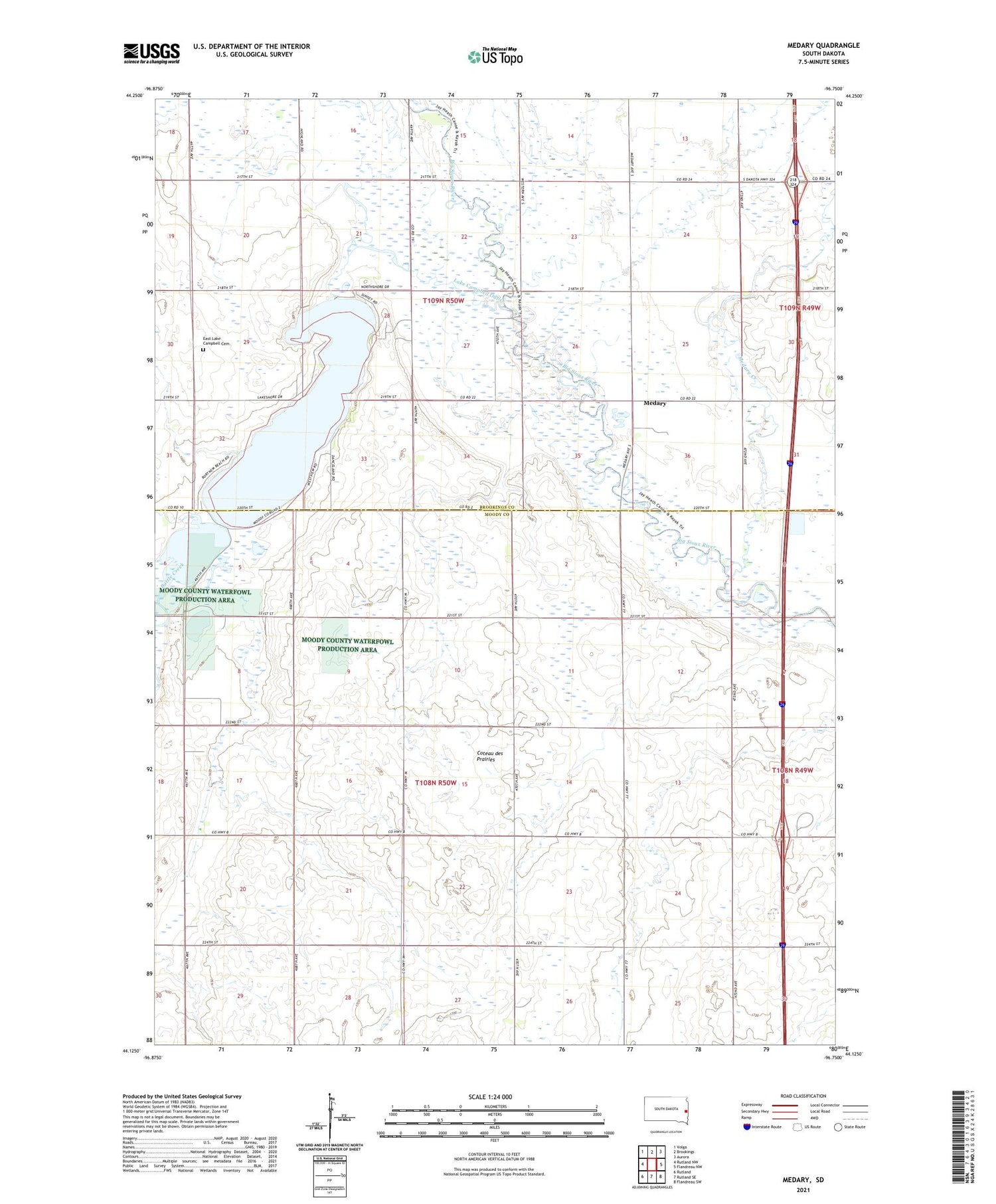
2021 topographic map quadrangle Medary in the state of South Dakota. Scale: 1:24000. Based on the newly updated USGS 7.5' US Topo map series, this map is in the following counties: Moody, Brookings. The map contains contour data, water features, and other items you are used to seeing on USGS maps, but also has updated roads and other features. This is the next generation of topographic maps. Printed on high-quality waterproof paper with UV fade-resistant inks.
Quads adjacent to this one:
West: Rutland NW
Northwest: Volga
North: Brookings
Northeast: Aurora
East: Flandreau NW
Southeast: Flandreau SW
South: Rutland SE
Southwest: Rutland
Contains the following named places: Battle Creek, Brookings Country Club, East Lake Campbell Cemetery, Galla, Galla School, Lake Campbell, Lake Campbell Outlet, Lake Campbell Resort, Lampson School, McCurdy School, Medary, Medary Creek, Medary Monument, Midway, Midway School, Township of Fremont, Township of Medary