MyTopo
Milbank West South Dakota US Topo Map
Couldn't load pickup availability
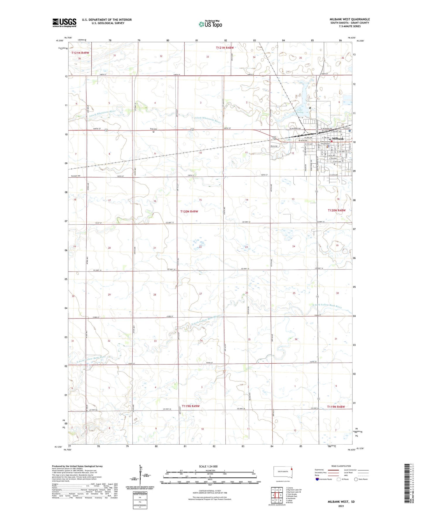
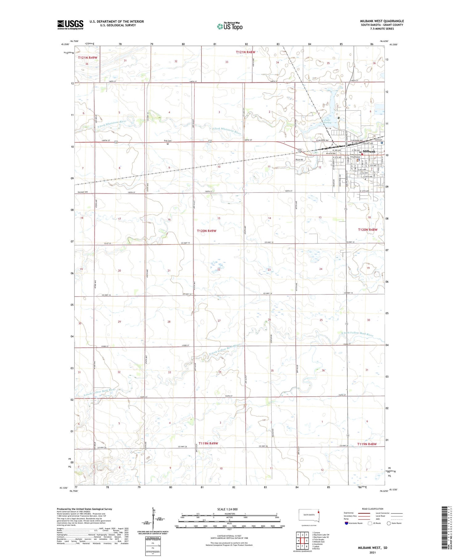
2021 topographic map quadrangle Milbank West in the state of South Dakota. Scale: 1:24000. Based on the newly updated USGS 7.5' US Topo map series, this map is in the following counties: Grant. The map contains contour data, water features, and other items you are used to seeing on USGS maps, but also has updated roads and other features. This is the next generation of topographic maps. Printed on high-quality waterproof paper with UV fade-resistant inks.
Quads adjacent to this one:
West: Twin Brooks
Northwest: Corona
North: Big Stone Lake SW
Northeast: Big Stone Lake SE
East: Milbank East
Southeast: Revillo
South: LaBolt
Southwest: Stockholm
Contains the following named places: City of Milbank, Eub Cemetery, Farley Lake Dam, Grant - Roberts Ambulance Service Milbank, Grant County Courthouse, Grant County Detention Center, Grant County Public Library, Grant County Sheriff's Office, KMSD-AM (Milbank), Koch Elementary School, Lake Farley, Lake Farley Park, Milbank, Milbank Area Hospital Avera, Milbank Fire Department, Milbank Post Office, Milbank Visitors Center, Saint Lawrence School, Township of Grant Center