MyTopo
Moreau Peak South Dakota US Topo Map
Couldn't load pickup availability
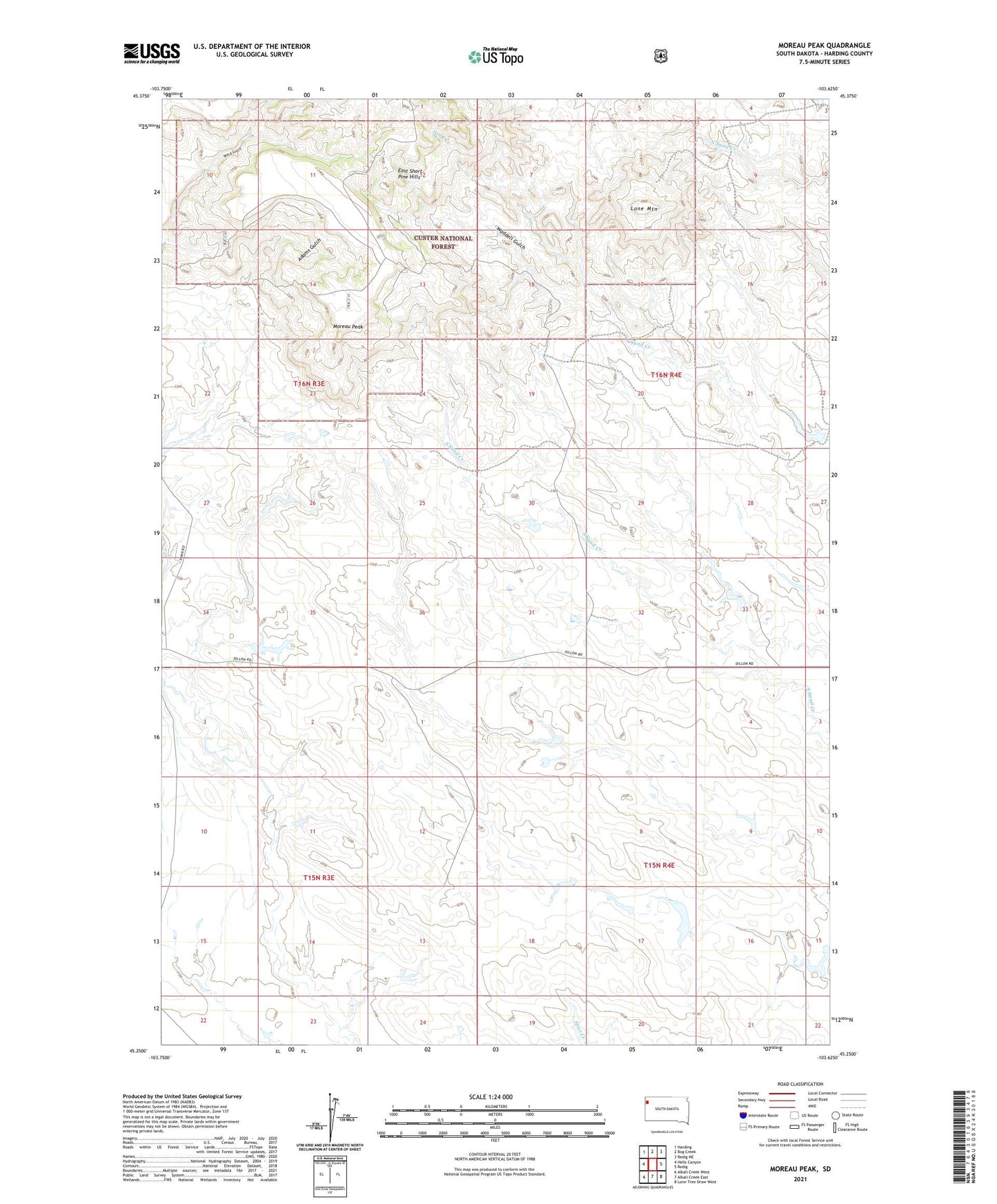
2021 topographic map quadrangle Moreau Peak in the state of South Dakota. Scale: 1:24000. Based on the newly updated USGS 7.5' US Topo map series, this map is in the following counties: Harding. The map contains contour data, water features, and other items you are used to seeing on USGS maps, but also has updated roads and other features. This is the next generation of topographic maps. Printed on high-quality waterproof paper with UV fade-resistant inks.
Quads adjacent to this one:
West: Hells Canyon
Northwest: Harding
North: Bog Creek
Northeast: Redig NE
East: Redig
Southeast: Lone Tree Draw West
South: Alkali Creek East
Southwest: Alkali Creek West
Contains the following named places: Adams Gulch, Dunn Well, Fox Irrigation Dam, Fox Ranch, Fox Well, J Dunn Ranch, Leger Badlands Dam, Lloyd Fox Number 2 Dam, Lone Mountain, Moreau Peak, Truman Dam, Waddell Gulch, Ward Gulch