MyTopo
Morristown South Dakota US Topo Map
Couldn't load pickup availability
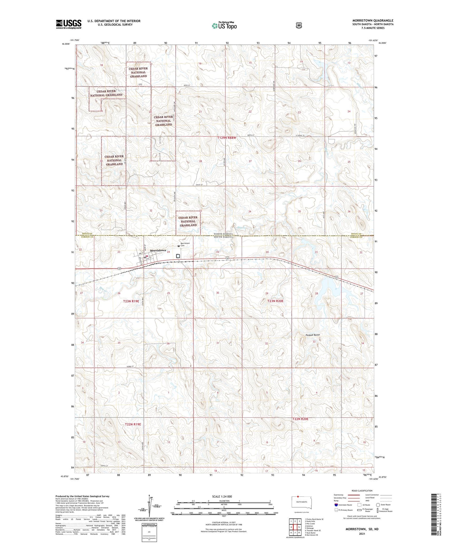
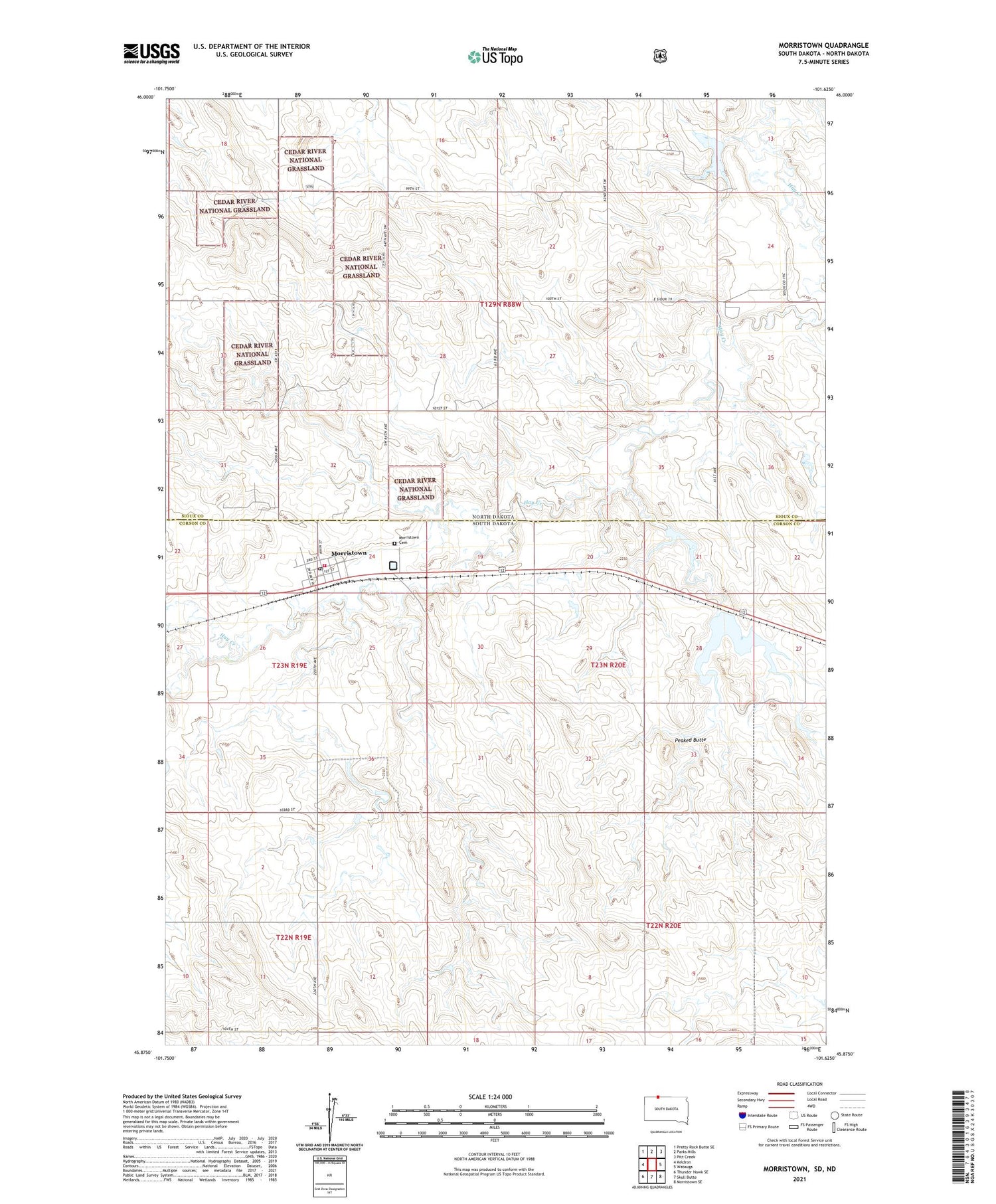
2021 topographic map quadrangle Morristown in the states of South Dakota, North Dakota. Scale: 1:24000. Based on the newly updated USGS 7.5' US Topo map series, this map is in the following counties: Corson, Sioux. The map contains contour data, water features, and other items you are used to seeing on USGS maps, but also has updated roads and other features. This is the next generation of topographic maps. Printed on high-quality waterproof paper with UV fade-resistant inks.
Quads adjacent to this one:
West: Keldron
Northwest: Pretty Rock Butte SE
North: Parks Hills
Northeast: Pitt Creek
East: Watauga
Southeast: Morristown SE
South: Skull Butte
Southwest: Thunder Hawk SE
Contains the following named places: Cedar River National Grassland, Morristown, Morristown Cemetery, Morristown East Lake, Morristown Fire Department, Morristown Post Office, Peaked Butte, Robert Bubbers Dam, Town of Morristown, Township of Pioneer, ZIP Code: 57645