MyTopo
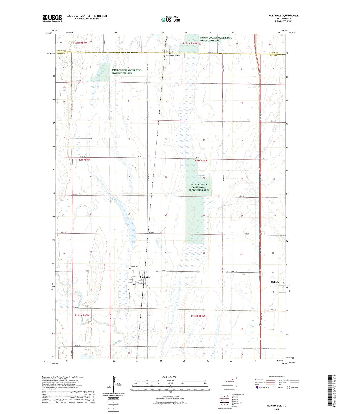
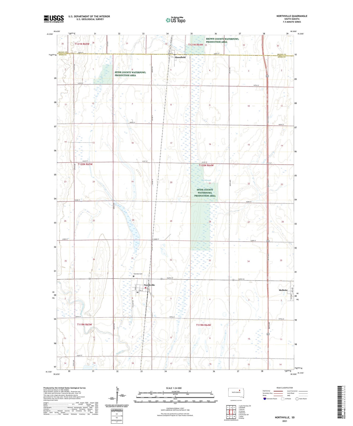
Northville South Dakota US Topo Map
Couldn't load pickup availability
2021 topographic map quadrangle Northville in the state of South Dakota. Scale: 1:24000. Based on the newly updated USGS 7.5' US Topo map series, this map is in the following counties: Spink, Brown. The map contains contour data, water features, and other items you are used to seeing on USGS maps, but also has updated roads and other features. This is the next generation of topographic maps. Printed on high-quality waterproof paper with UV fade-resistant inks.
Quads adjacent to this one:
West: Chelsea
Northwest: Lake Parmley SW
North: Rudolph
Northeast: Warner
East: Mellette
Southeast: Gallup
South: Athol
Southwest: Northville SW
Contains the following named places: Big Slough, Fairview Cemetery, Mansfield, Mansfield Census Designated Place, Mansfield Post Office, Northville, Northville Fire Department, Northville Post Office, Northwestern Elementary School, Northwestern High School, Northwestern Middle School, Spink County Waterfowl Production Area, Town of Northville