MyTopo
Oelrichs South Dakota US Topo Map
Couldn't load pickup availability
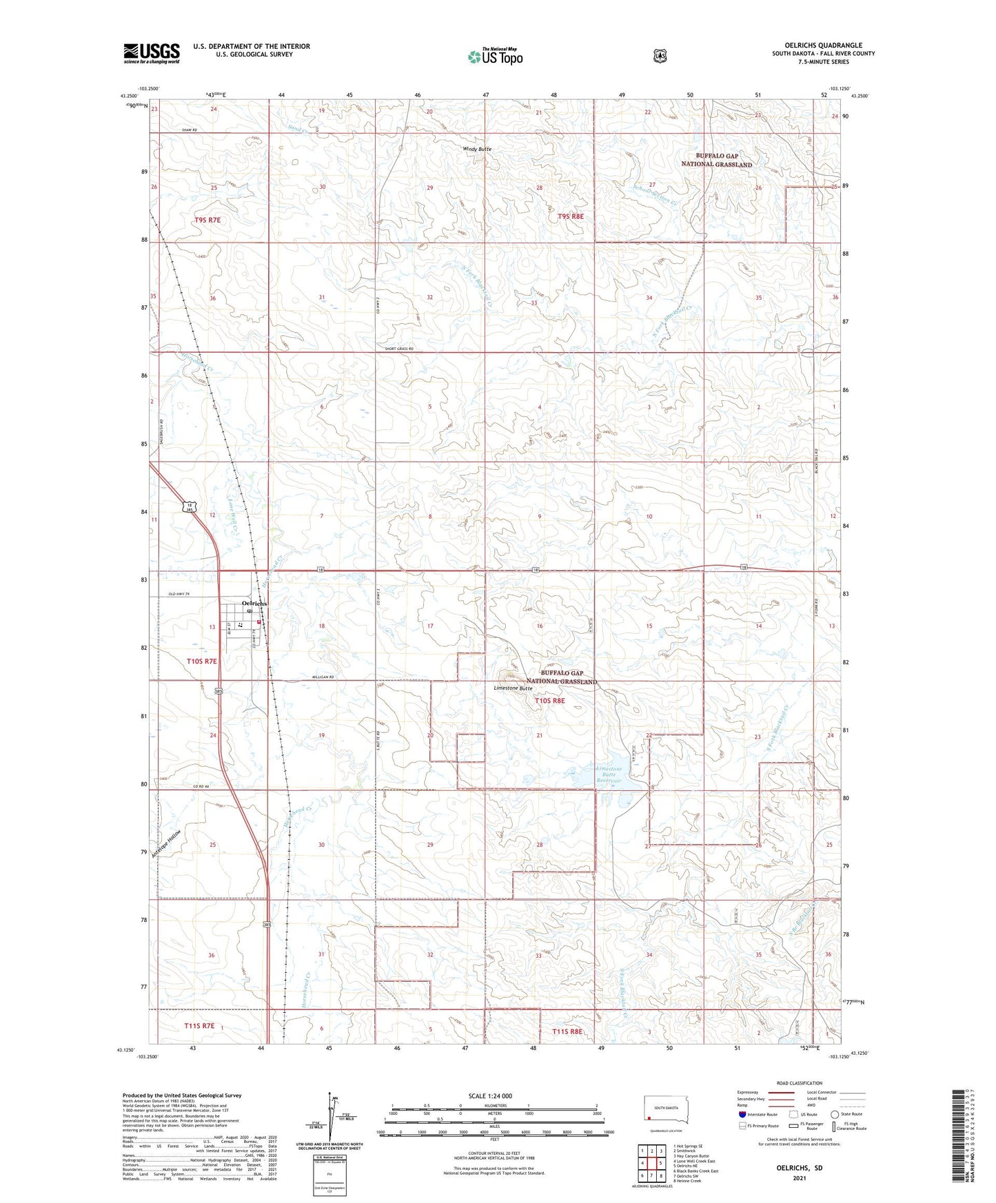
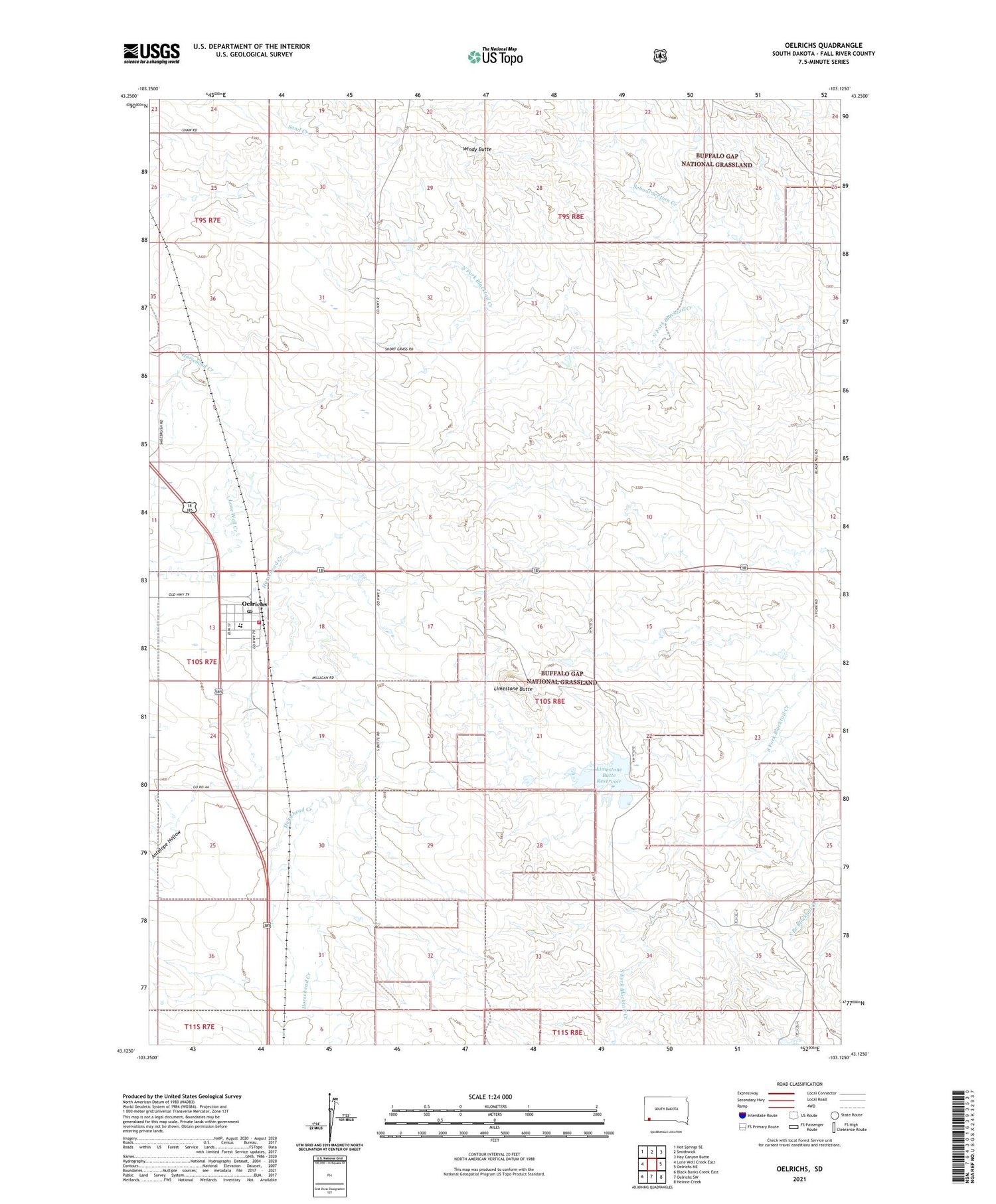
2021 topographic map quadrangle Oelrichs in the state of South Dakota. Scale: 1:24000. Based on the newly updated USGS 7.5' US Topo map series, this map is in the following counties: Fall River. The map contains contour data, water features, and other items you are used to seeing on USGS maps, but also has updated roads and other features. This is the next generation of topographic maps. Printed on high-quality waterproof paper with UV fade-resistant inks.
Quads adjacent to this one:
West: Lone Well Creek East
Northwest: Hot Springs SE
North: Smithwick
Northeast: Hay Canyon Butte
East: Oelrichs NE
Southeast: Heinne Creek
South: Oelrichs SW
Southwest: Black Banks Creek East
Contains the following named places: Antelope Hollow, Haystack Butte Dam, Limestone Butte, Limestone Butte Dam, Limestone Butte Reservoir, Lone Well Creek, Oelrichs, Oelrichs Ambulance Service, Oelrichs Elementary School, Oelrichs Fire Department, Oelrichs High School, Oelrichs Junior High School, Oelrichs Post Office, Town of oelrichs, Township of Limestone, Windy Butte