MyTopo
Opal East SW South Dakota US Topo Map
Couldn't load pickup availability
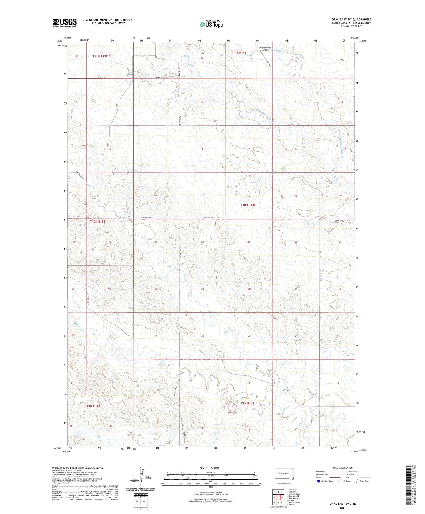
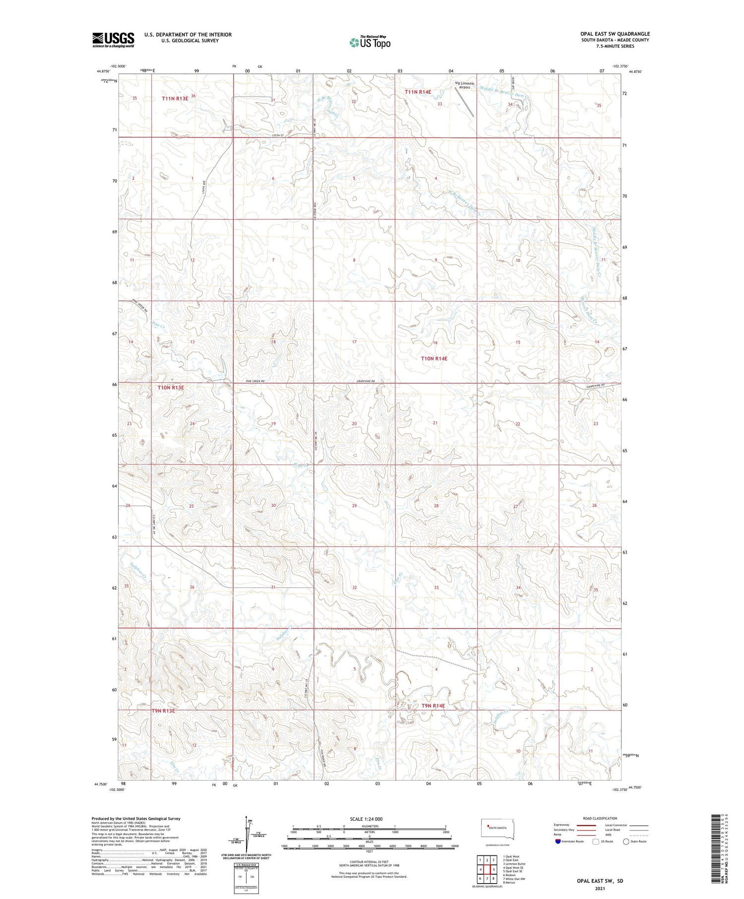
2021 topographic map quadrangle Opal East SW in the state of South Dakota. Scale: 1:24000. Based on the newly updated USGS 7.5' US Topo map series, this map is in the following counties: Meade. The map contains contour data, water features, and other items you are used to seeing on USGS maps, but also has updated roads and other features. This is the next generation of topographic maps. Printed on high-quality waterproof paper with UV fade-resistant inks.
Quads adjacent to this one:
West: Opal West SE
Northwest: Opal West
North: Opal East
Northeast: Lemmon Butte
East: Opal East SE
Southeast: Marcus
South: White Owl NW
Southwest: Redowl
Contains the following named places: Delano County, Elm Creek, Middle Branch Beaver Dam Creek, Pine Creek, Township of Enterprise, Unorganized Territory of North Meade, Vig Limousin Airport, West Branch Beaver Dam Creek