MyTopo
Opal West South Dakota US Topo Map
Couldn't load pickup availability
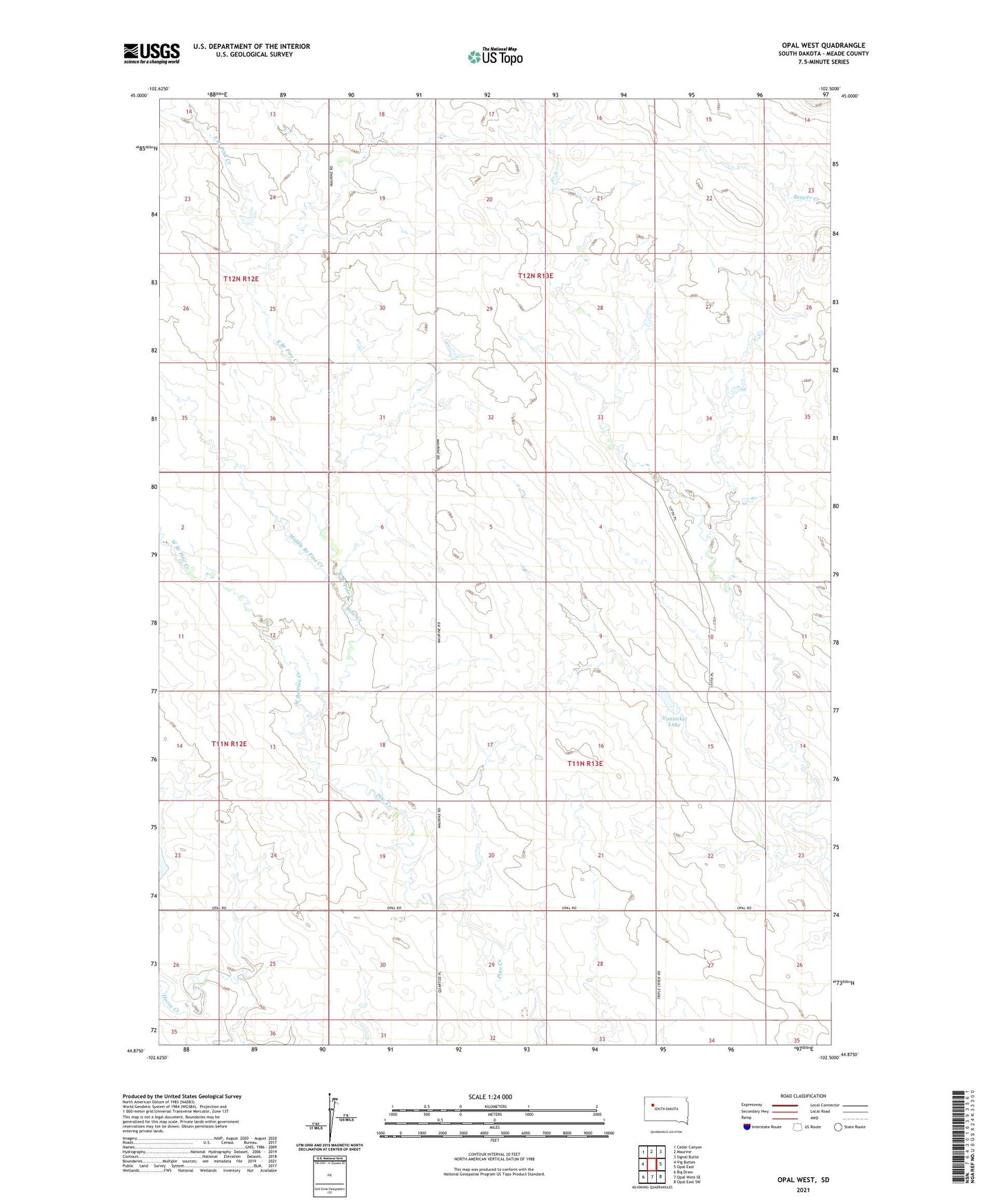
2021 topographic map quadrangle Opal West in the state of South Dakota. Scale: 1:24000. Based on the newly updated USGS 7.5' US Topo map series, this map is in the following counties: Meade. The map contains contour data, water features, and other items you are used to seeing on USGS maps, but also has updated roads and other features. This is the next generation of topographic maps. Printed on high-quality waterproof paper with UV fade-resistant inks.
Quads adjacent to this one:
Northwest: Cedar Canyon
North: Maurine
Northeast: Signal Butte
East: Opal East
Southeast: Opal East SW
South: Opal West SE
Southwest: Big Draw
This map covers the same area as the classic USGS quad with code o44102h5.
Contains the following named places: East Branch Pine Creek, Fox Ridge, Middle Branch Pine Creek, N Vansickel Dam, Opal Community Church, Opal Post Office, Township of Pine, Vansickel Lake, West Branch Pine Creek