MyTopo
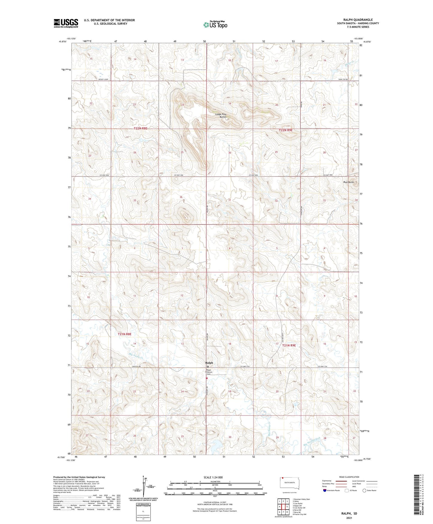
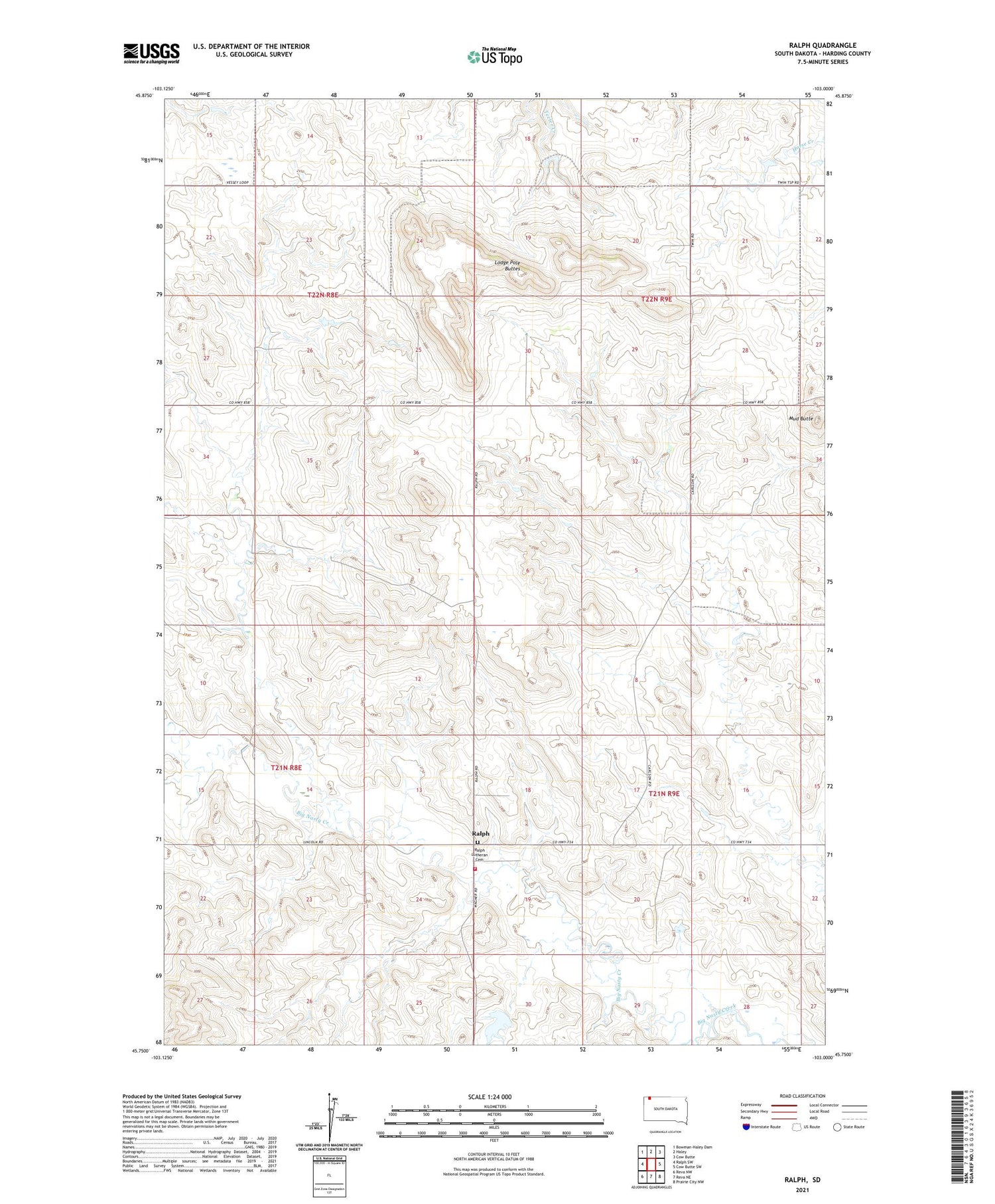
Ralph South Dakota US Topo Map
Couldn't load pickup availability
2021 topographic map quadrangle Ralph in the state of South Dakota. Scale: 1:24000. Based on the newly updated USGS 7.5' US Topo map series, this map is in the following counties: Harding. The map contains contour data, water features, and other items you are used to seeing on USGS maps, but also has updated roads and other features. This is the next generation of topographic maps. Printed on high-quality waterproof paper with UV fade-resistant inks.
Quads adjacent to this one:
West: Ralph SW
East: Cow Butte SW
Southeast: Prairie City NW
South: Reva NE
Southwest: Reva NW
Contains the following named places: Drolc Number 1 Dam, Lodge Pole Buttes, Mud Butte, Parks Duck Dam, Ralph, Ralph Dam, Ralph Lutheran Cemetery, Ralph Post Office, Ralph Volunteer Fire Department, Saint Isadore Church, Southwest School, Township of Filmore, ZIP Code: 57650