MyTopo
Cow Butte SW South Dakota US Topo Map
Couldn't load pickup availability
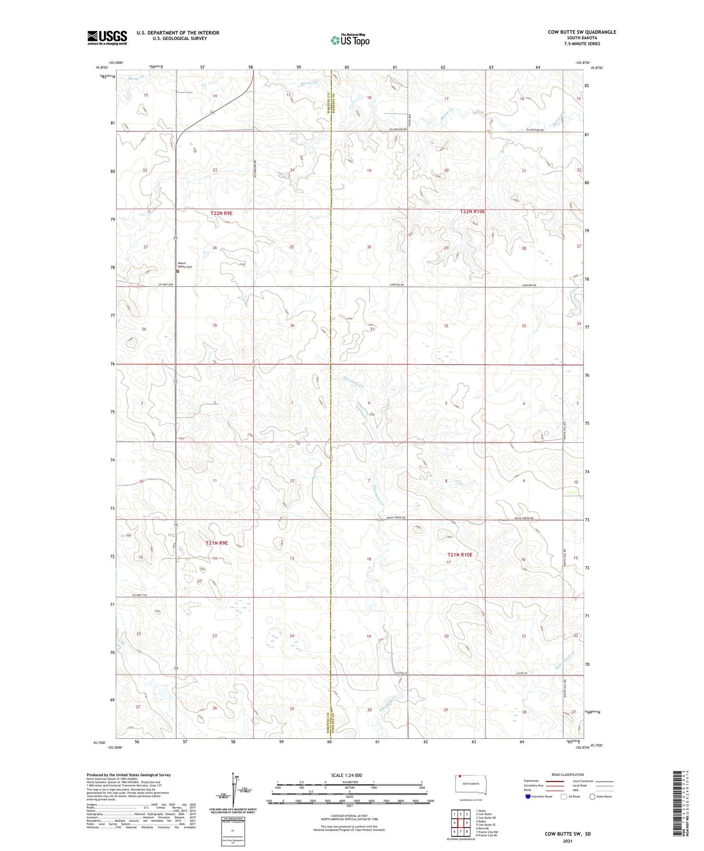
2021 topographic map quadrangle Cow Butte SW in the state of South Dakota. Scale: 1:24000. Based on the newly updated USGS 7.5' US Topo map series, this map is in the following counties: Perkins, Harding. The map contains contour data, water features, and other items you are used to seeing on USGS maps, but also has updated roads and other features. This is the next generation of topographic maps. Printed on high-quality waterproof paper with UV fade-resistant inks.
Quads adjacent to this one:
West: Ralph
Northeast: Cow Butte NE
East: Cow Butte SE
Southeast: Prairie City NE
South: Prairie City NW
Southwest: Reva NE
This map covers the same area as the classic USGS quad with code o45102g8.
Contains the following named places: Bierke School, Cutler Dam, Fairview School, Mud Butte School, Paris School, Peace Valley Cemetery, Swanson School, Township of Wilson