MyTopo
Rattlesnake Butte East South Dakota US Topo Map
Couldn't load pickup availability
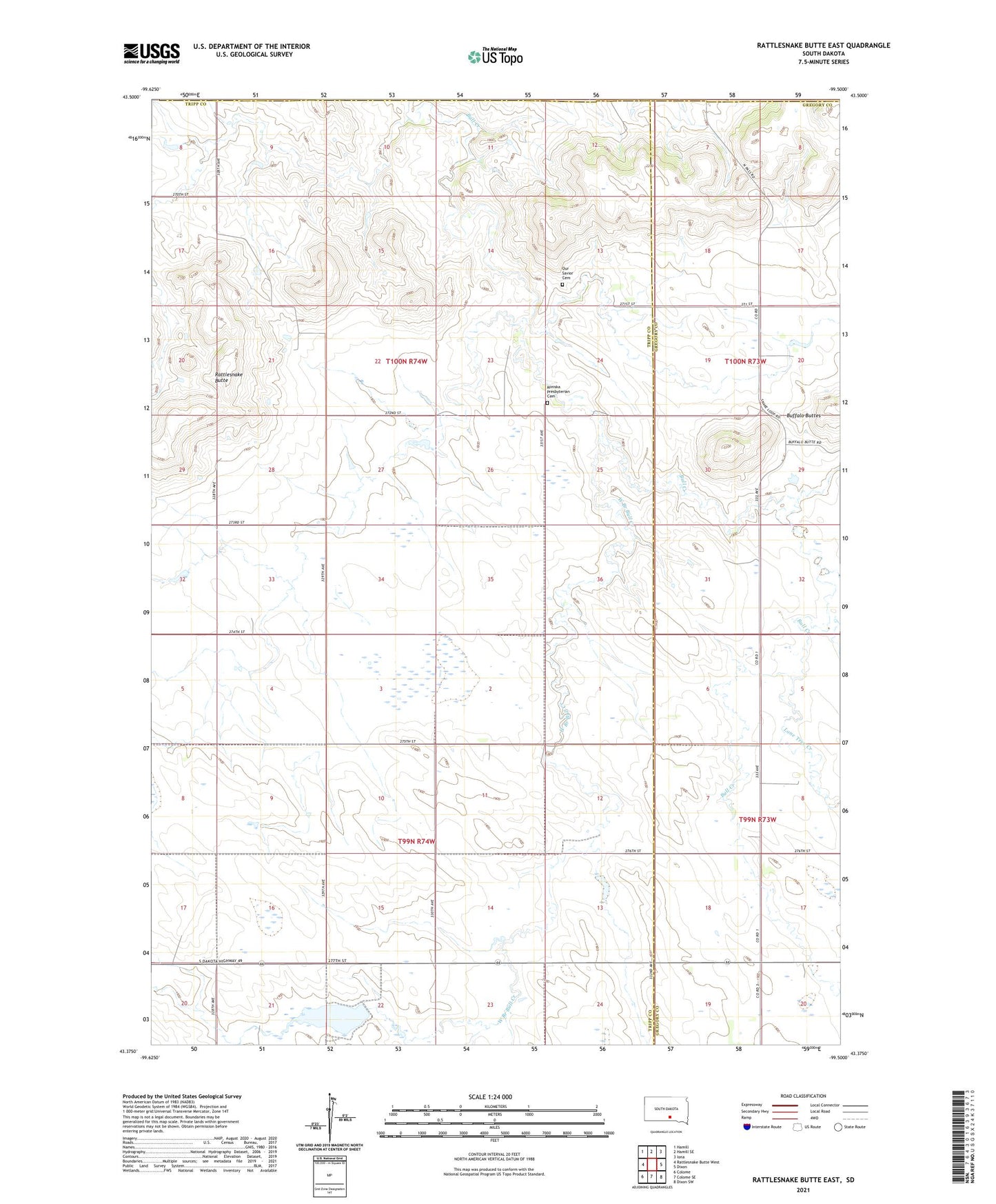
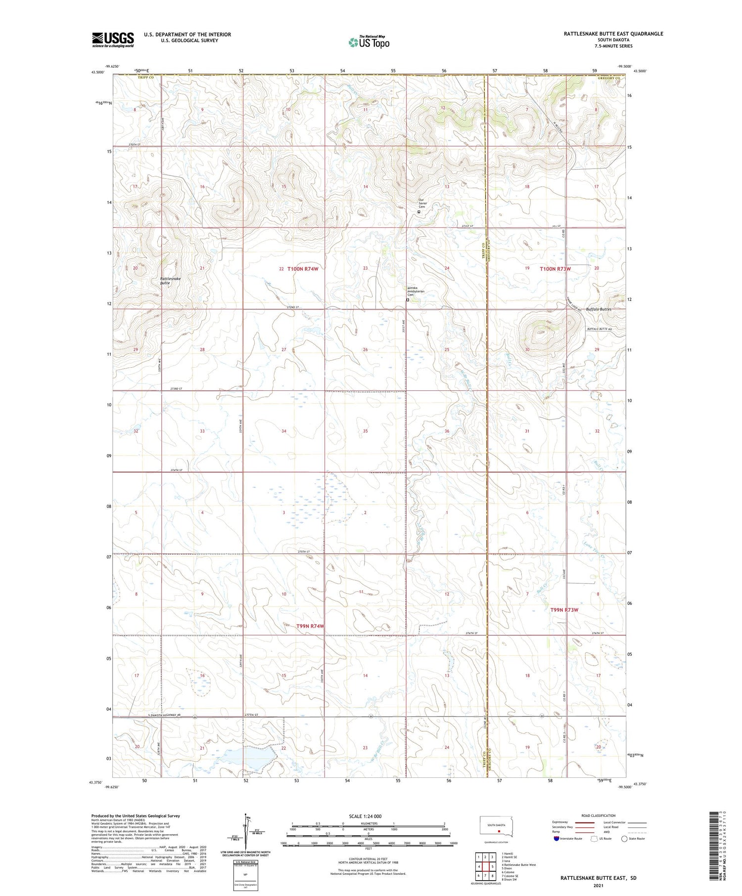
2021 topographic map quadrangle Rattlesnake Butte East in the state of South Dakota. Scale: 1:24000. Based on the newly updated USGS 7.5' US Topo map series, this map is in the following counties: Tripp, Gregory, Lyman. The map contains contour data, water features, and other items you are used to seeing on USGS maps, but also has updated roads and other features. This is the next generation of topographic maps. Printed on high-quality waterproof paper with UV fade-resistant inks.
Quads adjacent to this one:
West: Rattlesnake Butte West
Northwest: Hamill
North: Hamill SE
Northeast: Iona
East: Dixon
Southeast: Dixon SW
South: Colome SE
Southwest: Colome
Contains the following named places: Bijou School, Buffalo Buttes, Bull Creek School, Bull Creek Segment, Lone Tree Creek, Mini Ska Church, Miniska Presbyterian Cemetery, Our Savior Cemetery, Sully School, Township of Bull Creek, Township of Sully, West Branch Bull Creek