MyTopo
Red Lake West South Dakota US Topo Map
Couldn't load pickup availability
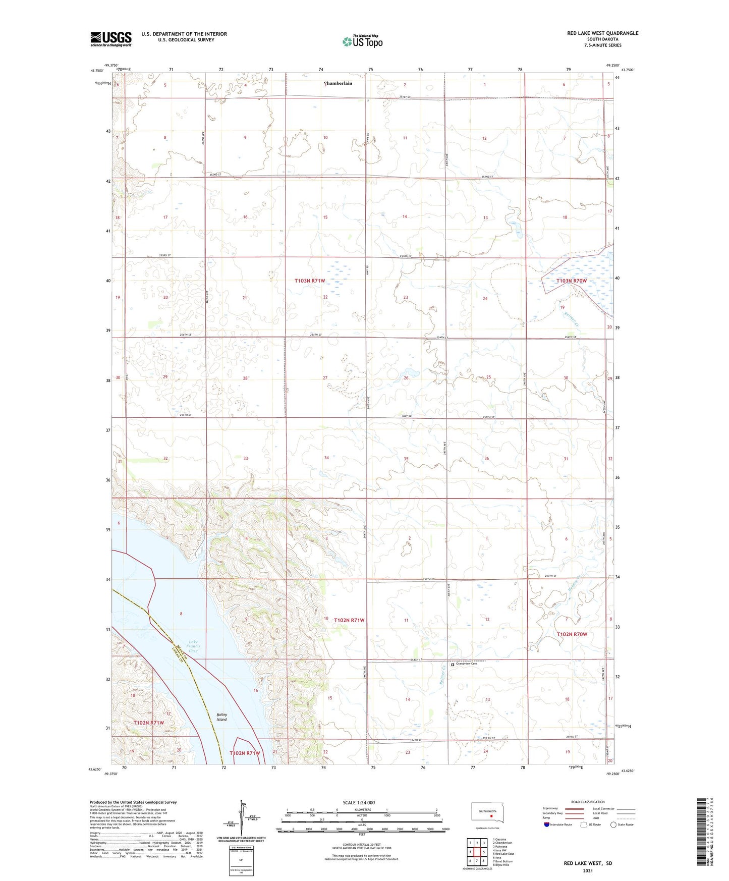
2021 topographic map quadrangle Red Lake West in the state of South Dakota. Scale: 1:24000. Based on the newly updated USGS 7.5' US Topo map series, this map is in the following counties: Brule, Lyman. The map contains contour data, water features, and other items you are used to seeing on USGS maps, but also has updated roads and other features. This is the next generation of topographic maps. Printed on high-quality waterproof paper with UV fade-resistant inks.
Quads adjacent to this one:
West: Iona NW
Northwest: Oacoma
North: Chamberlain
Northeast: Pukwana
East: Red Lake East
Southeast: Bijou Hills
South: Bond Bottom
Southwest: Iona
Contains the following named places: Bailey Island, Bergner Dam, Bergner Dam 1, Boyer State Public Shooting Area, Brule, Dry Island, Grandview, Grandview Cemetery, Lake Wanalain, Landis Dam, Raish Dam, Reimer Creek, Township of Brule, Township of Grandview, Township of Ola, Unorganized Territory of Grandview, Wanalain Lake Dam