MyTopo
Bijou Hills South Dakota US Topo Map
Couldn't load pickup availability
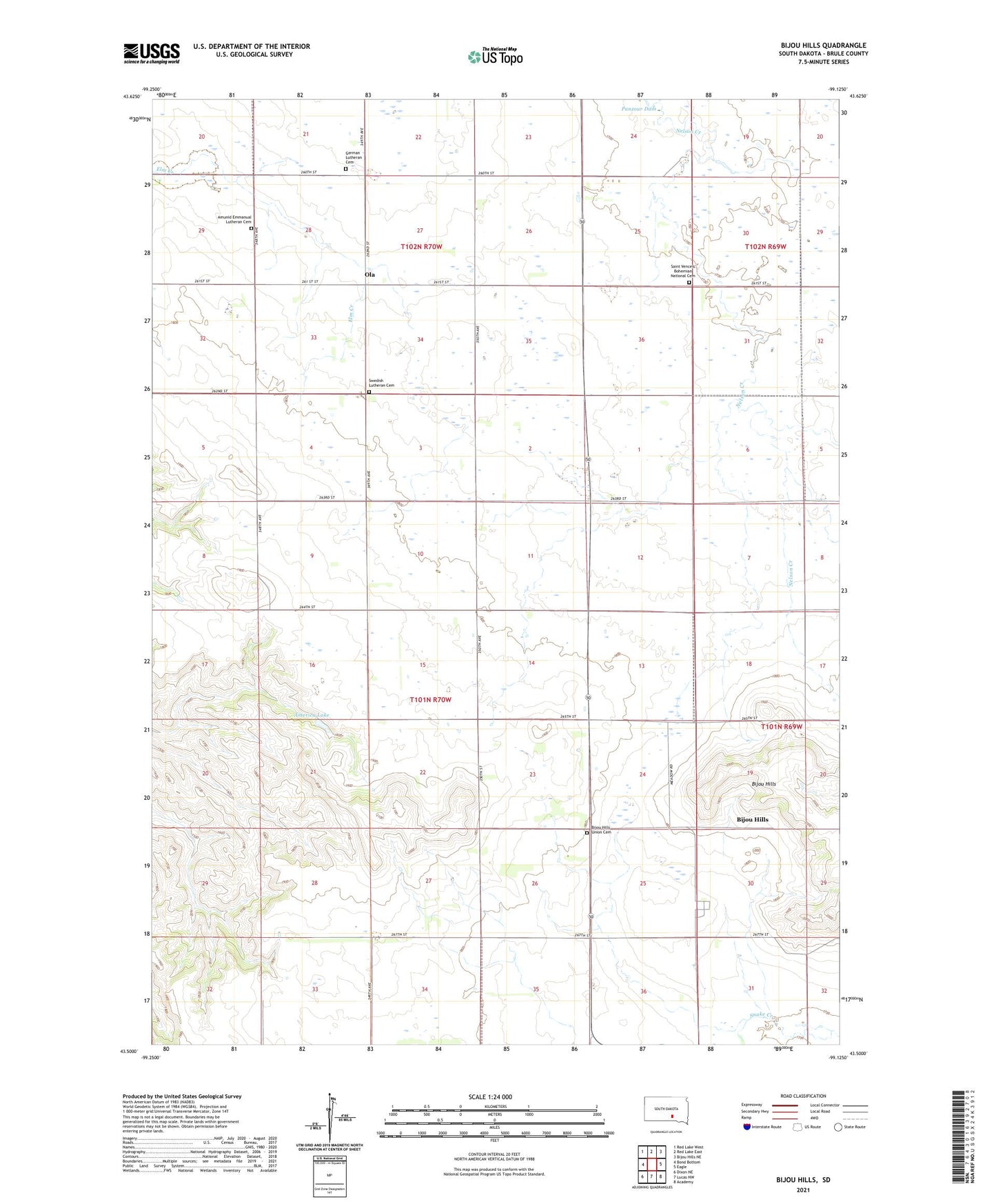
2021 topographic map quadrangle Bijou Hills in the state of South Dakota. Scale: 1:24000. Based on the newly updated USGS 7.5' US Topo map series, this map is in the following counties: Brule. The map contains contour data, water features, and other items you are used to seeing on USGS maps, but also has updated roads and other features. This is the next generation of topographic maps. Printed on high-quality waterproof paper with UV fade-resistant inks.
Quads adjacent to this one:
West: Bond Bottom
Northwest: Red Lake West
North: Red Lake East
Northeast: Bijou Hills NE
East: Eagle
Southeast: Academy
South: Lucas NW
Southwest: Dixon NE
This map covers the same area as the classic USGS quad with code o43099e2.
Contains the following named places: America Lake, America School, Amunid Emmanual Lutheran Cemetery, Bijou Hills, Bijou Hills Census Designated Place, Bijou Hills Union Cemetery, German Lutheran Cemetery, Ola, Ola Census Designated Place, Saint Vencels Bohemian National Cemetery, Swedish Lutheran Cemetery, Township of America