MyTopo
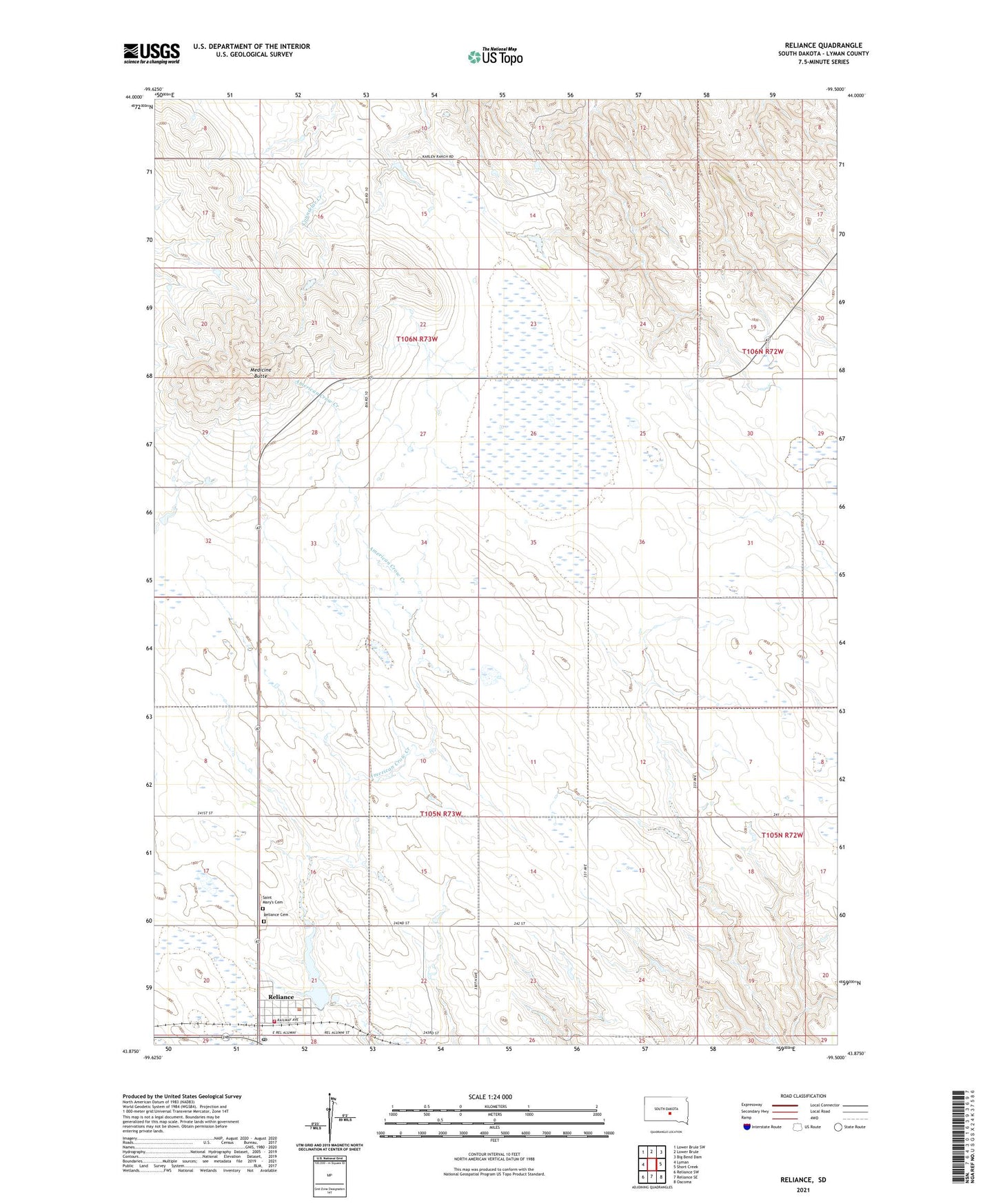
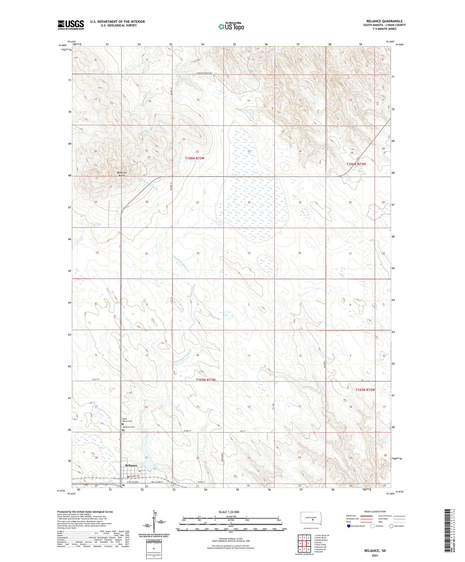
Reliance South Dakota US Topo Map
Couldn't load pickup availability
2021 topographic map quadrangle Reliance in the state of South Dakota. Scale: 1:24000. Based on the newly updated USGS 7.5' US Topo map series, this map is in the following counties: Lyman. The map contains contour data, water features, and other items you are used to seeing on USGS maps, but also has updated roads and other features. This is the next generation of topographic maps. Printed on high-quality waterproof paper with UV fade-resistant inks.
Quads adjacent to this one:
West: Lyman
Northwest: Lower Brule SW
North: Lower Brule
Northeast: Big Bend Dam
East: Short Creek
Southeast: Oacoma
South: Reliance SE
Southwest: Reliance SW
Contains the following named places: KPLO Radio Tower, KTSD Radio Tower, Medicine Butte, Merrill Karlen Number 1 Dam, Reliance, Reliance Cemetery, Reliance Dam, Reliance Lake, Reliance Post Office, Reliance State Game Refuge, Reliance Town Hall, Reliance Volunteer Fire Department, Saint Mary's Cemetery, Town of Reliance, Unorganized Territory of East Lyman