MyTopo
Revillo South Dakota US Topo Map
Couldn't load pickup availability
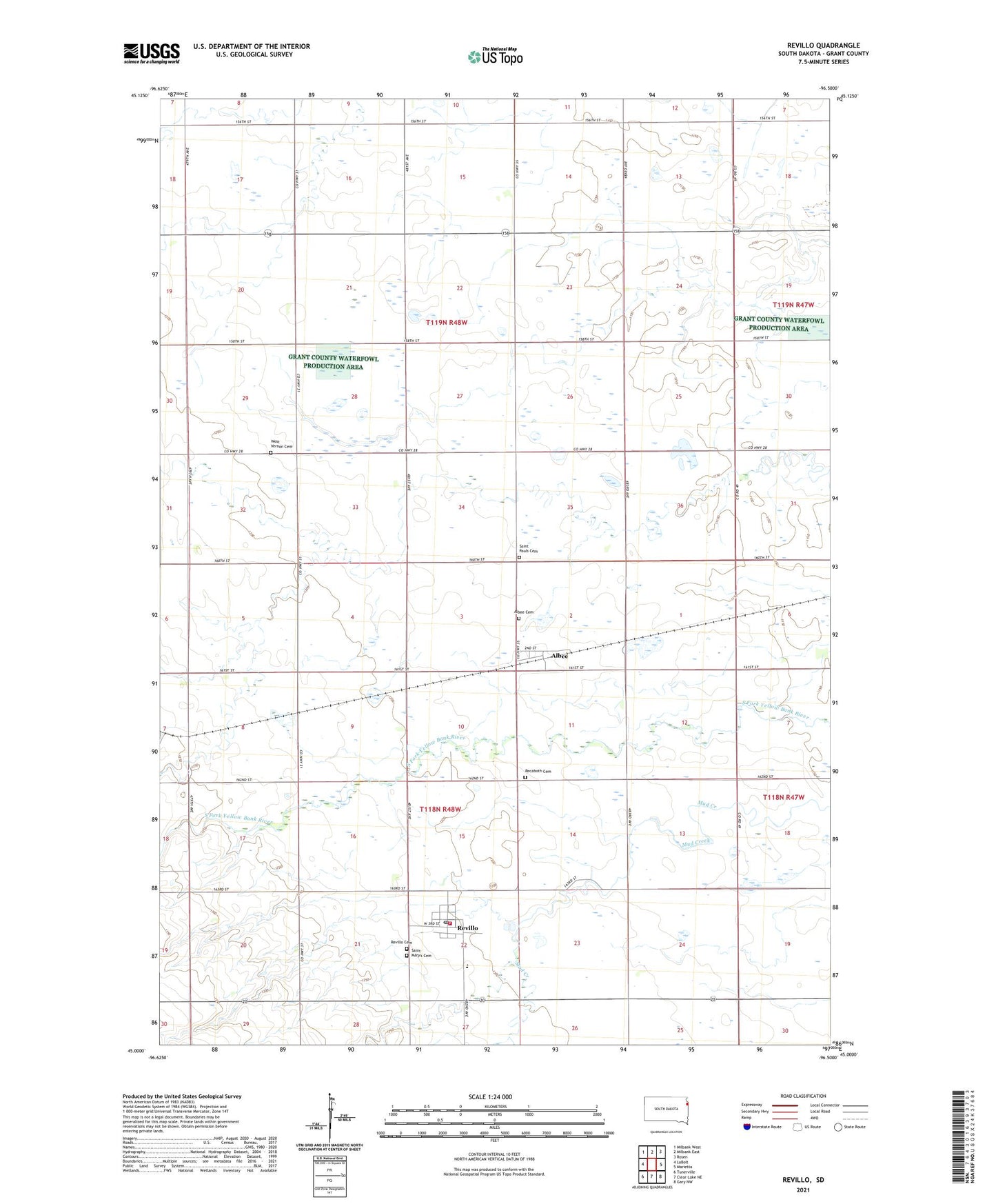
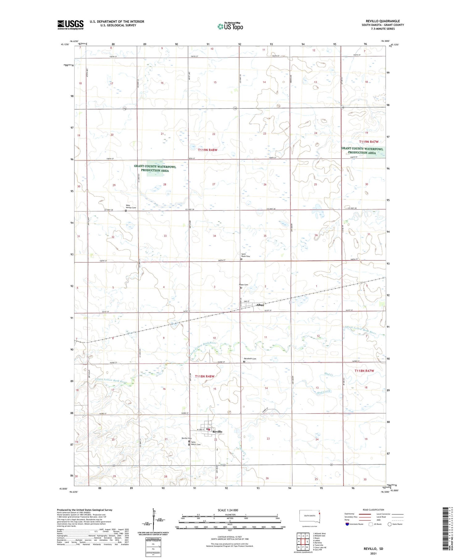
2021 topographic map quadrangle Revillo in the state of South Dakota. Scale: 1:24000. Based on the newly updated USGS 7.5' US Topo map series, this map is in the following counties: Grant. The map contains contour data, water features, and other items you are used to seeing on USGS maps, but also has updated roads and other features. This is the next generation of topographic maps. Printed on high-quality waterproof paper with UV fade-resistant inks.
Quads adjacent to this one:
West: LaBolt
Northwest: Milbank West
North: Milbank East
Northeast: Rosen
East: Marietta
Southeast: Gary NW
South: Clear Lake NE
Southwest: Tunerville
Contains the following named places: Albee, Albee Cemetery, Elmira Post Office, Grant County Mini-Library II, Grant-Deuel Elementary School, Grant-Deuel High School, Grant-Deuel Junior High School, Recaboth Cemetery, Revillo, Revillo Cemetery, Revillo Post Office, Revillo Volunteer Fire Department, Saint Mary's Cemetery, Saint Pauls Cemetery, Town of Albee, Town of Revillo, Township of Adams, Township of Vernon, Tribitt Airport, Vernon Township Hall, West Vernon Cemetery, ZIP Code: 57259