MyTopo
Stamford SW South Dakota US Topo Map
Couldn't load pickup availability
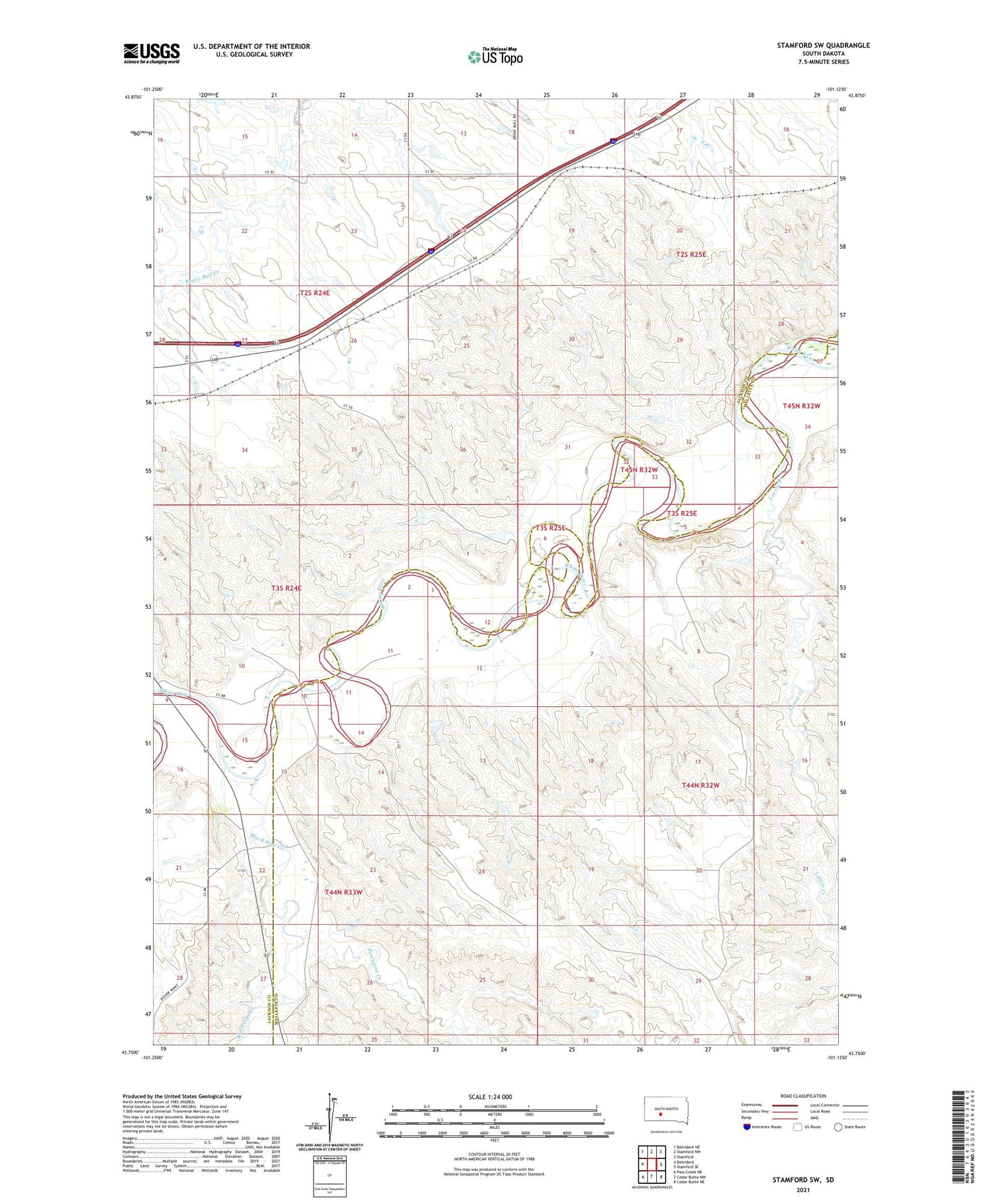
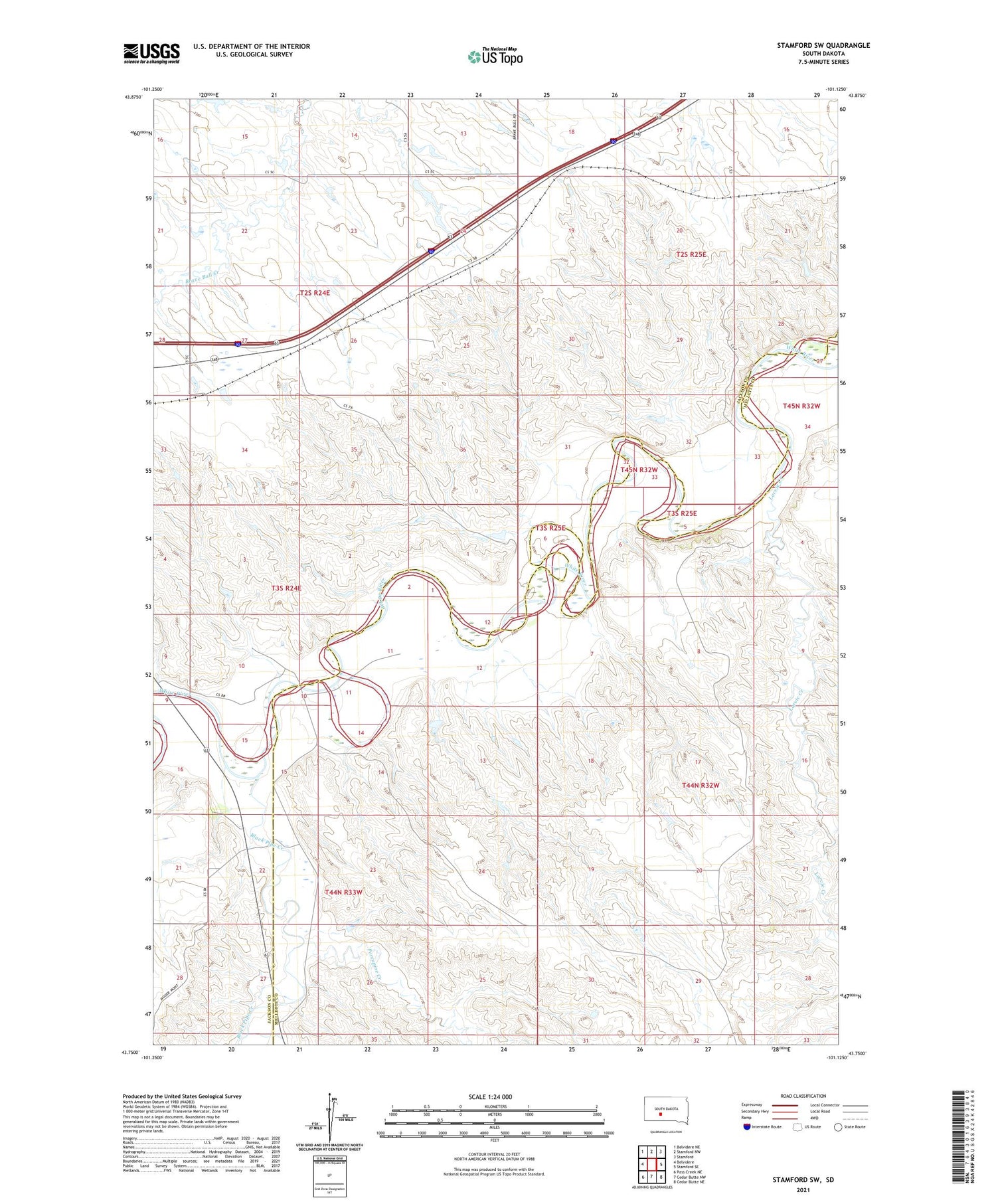
2021 topographic map quadrangle Stamford SW in the state of South Dakota. Scale: 1:24000. Based on the newly updated USGS 7.5' US Topo map series, this map is in the following counties: Jackson, Mellette. The map contains contour data, water features, and other items you are used to seeing on USGS maps, but also has updated roads and other features. This is the next generation of topographic maps. Printed on high-quality waterproof paper with UV fade-resistant inks.
Quads adjacent to this one:
West: Belvidere
Northwest: Belvidere NE
North: Stamford NW
Northeast: Stamford
East: Stamford SE
Southeast: Cedar Butte NE
South: Cedar Butte NW
Southwest: Pass Creek NE
Contains the following named places: Black Pipe Creek, Larvie Creek, Porcupine Creek, Township of Rocky Ford, Word Dam, Word Number 1 Dam, ZIP Code: 57521