MyTopo
Stamford South Dakota US Topo Map
Couldn't load pickup availability
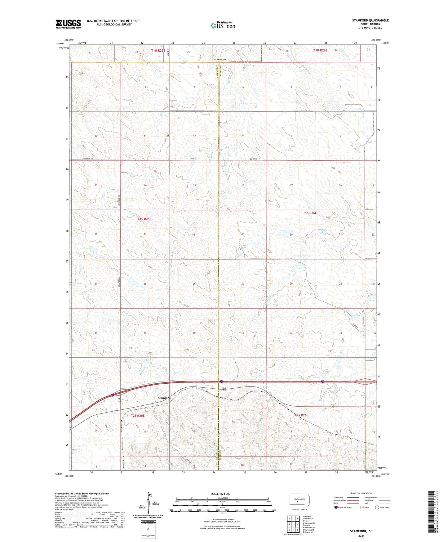
2021 topographic map quadrangle Stamford in the state of South Dakota. Scale: 1:24000. Based on the newly updated USGS 7.5' US Topo map series, this map is in the following counties: Jones, Jackson, Haakon. The map contains contour data, water features, and other items you are used to seeing on USGS maps, but also has updated roads and other features. This is the next generation of topographic maps. Printed on high-quality waterproof paper with UV fade-resistant inks.
Quads adjacent to this one:
West: Stamford NW
Northwest: Midland
North: Midland SE
Northeast: Capa
East: Okaton
Southeast: Okaton SW
South: Stamford SE
Southwest: Stamford SW
This map covers the same area as the classic USGS quad with code o43101h1.
Contains the following named places: Barton Number 1 Dam, Barton Number 2 Dam, Barton Number 3 Dam, Bork Number 1 Dam, CNV Ranch Number 1 Dam, Perault Number 2 Dam, Perault Number 3 Dam, Rieman Number 1 Dam, Saint Peter Church, Sanderson Number 1 Dam, Sanderson Number 2 Dam, Sanderson Number 3 Dam, Stamford, Unorganized Territory of Grandview