MyTopo
Stratford South Dakota US Topo Map
Couldn't load pickup availability
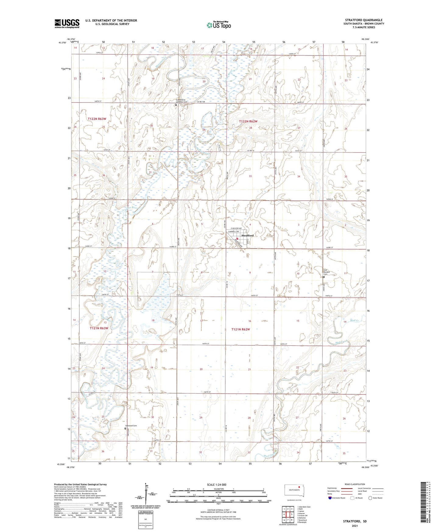
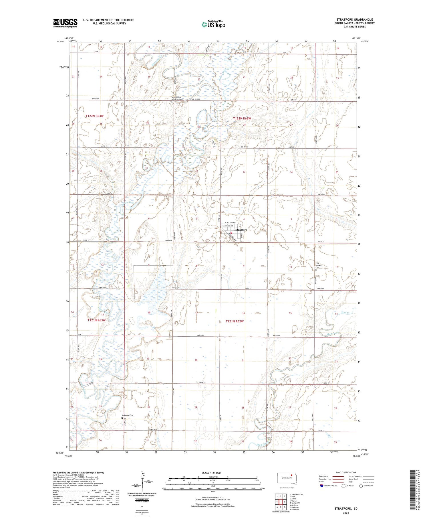
2021 topographic map quadrangle Stratford in the state of South Dakota. Scale: 1:24000. Based on the newly updated USGS 7.5' US Topo map series, this map is in the following counties: Brown. The map contains contour data, water features, and other items you are used to seeing on USGS maps, but also has updated roads and other features. This is the next generation of topographic maps. Printed on high-quality waterproof paper with UV fade-resistant inks.
Quads adjacent to this one:
West: Warner
Northwest: Aberdeen East
North: Bath
Northeast: James
East: Groton SW
Southeast: Randolph
South: Brentford
Southwest: Mellette
Contains the following named places: East Rondell Cemetery, Gem, Henry Slacks Log House, Lone Star School, Midway School, Moccasin Creek, Nelson School, Oakwood Cemetery, Rondell Post Office, Scandinavia Lutheran Cemetery, Scandinavian Lutheran Church, Schumaker School, Stratford, Stratford Fire Department, Sunnyview School, Town of Stratford, Township of East Rondell, Township of Gem, Township of Rondell, West Rondell Township Hall, ZIP Code: 57474