MyTopo
Sunrise Butte South Dakota US Topo Map
Couldn't load pickup availability
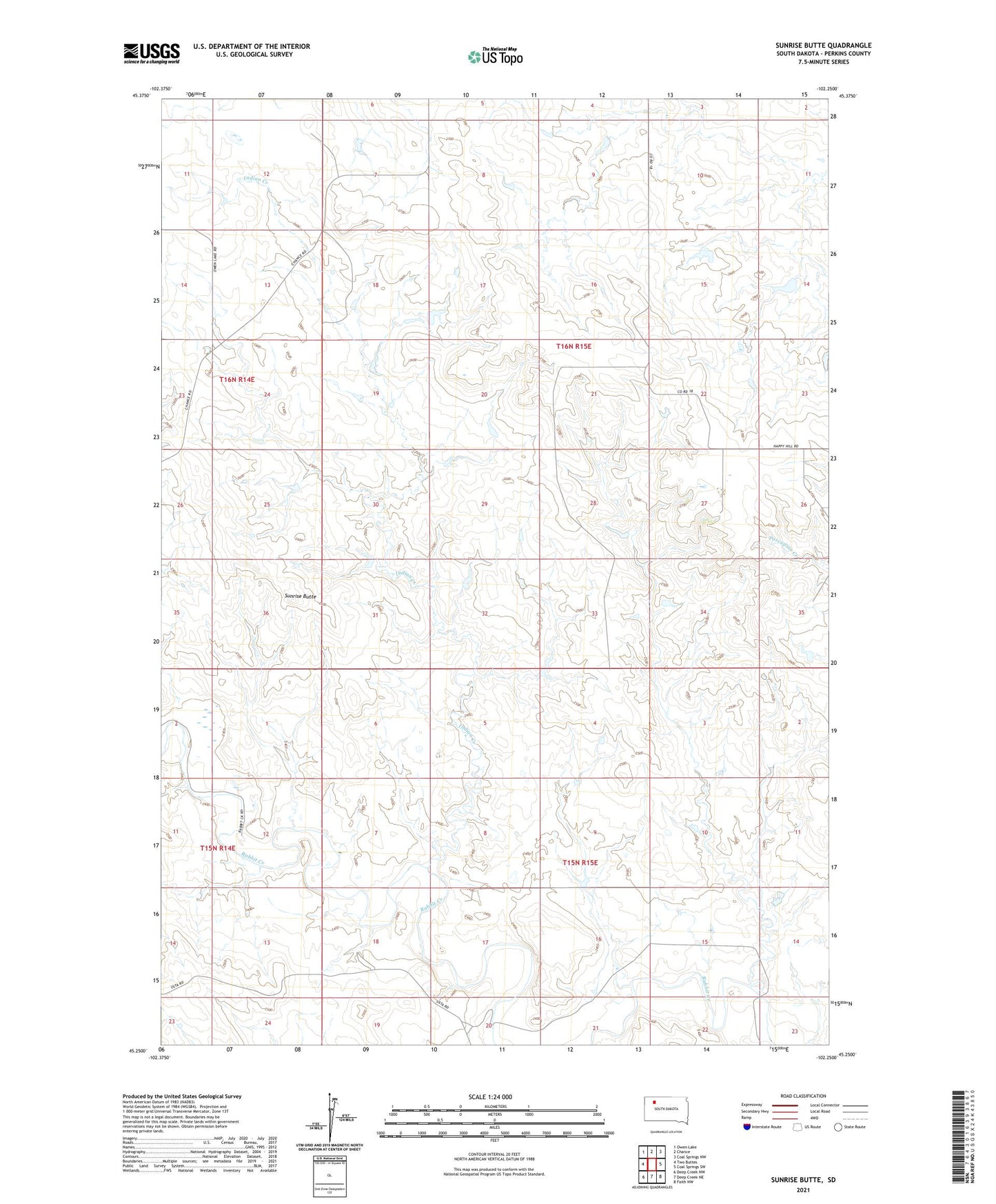
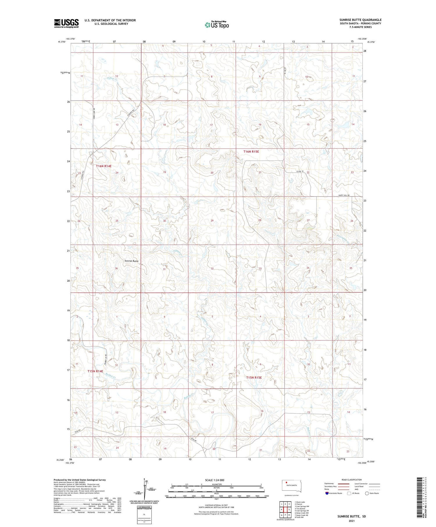
2021 topographic map quadrangle Sunrise Butte in the state of South Dakota. Scale: 1:24000. Based on the newly updated USGS 7.5' US Topo map series, this map is in the following counties: Perkins. The map contains contour data, water features, and other items you are used to seeing on USGS maps, but also has updated roads and other features. This is the next generation of topographic maps. Printed on high-quality waterproof paper with UV fade-resistant inks.
Quads adjacent to this one:
West: Two Buttes
Northwest: Owen Lake
North: Chance
Northeast: Coal Springs NW
East: Coal Springs SW
Southeast: Faith NW
South: Deep Creek NE
Southwest: Deep Creek NW
Contains the following named places: Arnt Jorgenson Dam, Indian Creek, Johnson School, Old Johnson School, Rabbit Creek School, Rinehart County, Sunrise Butte