MyTopo
Tatanka Lake South Dakota US Topo Map
Couldn't load pickup availability
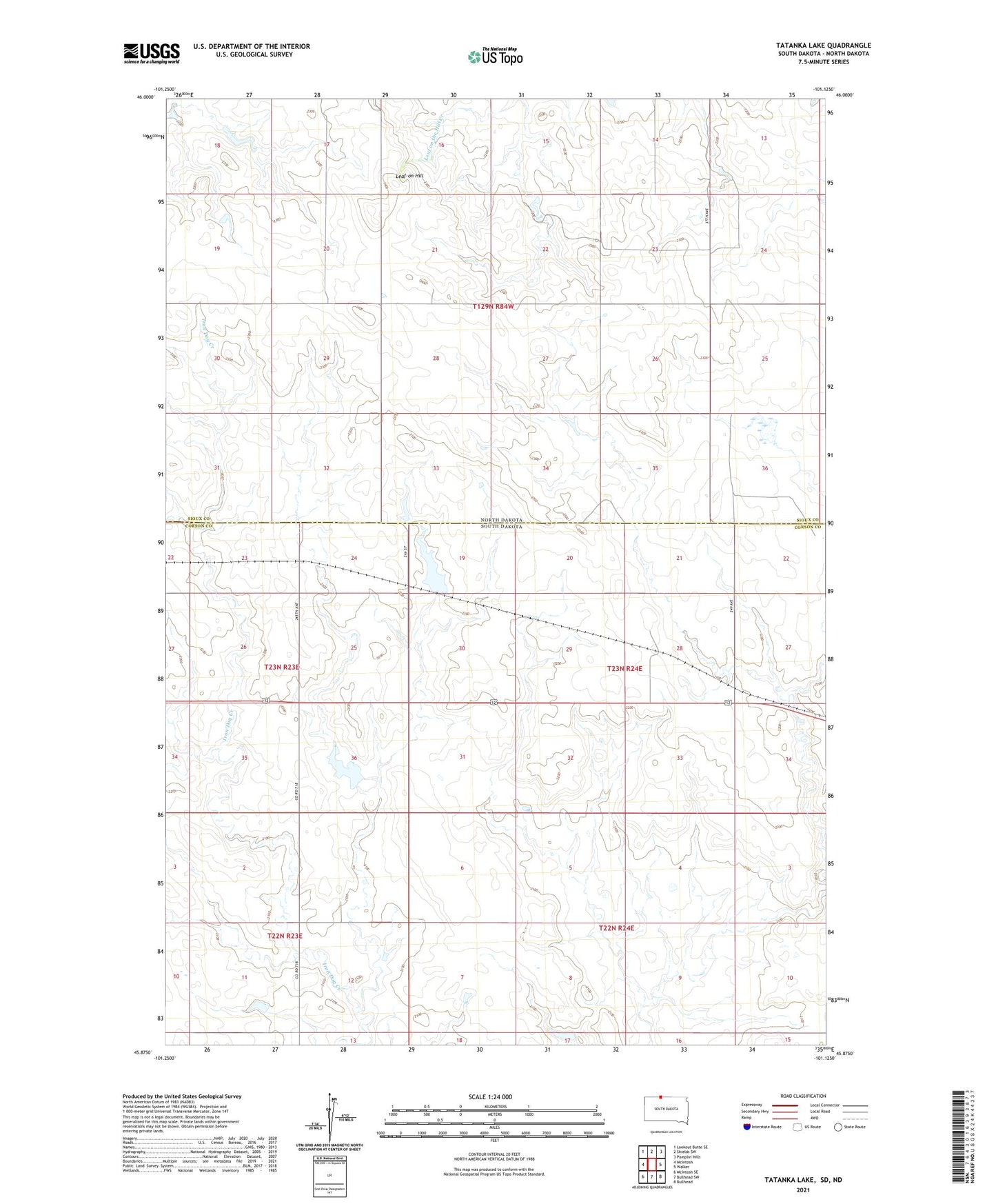
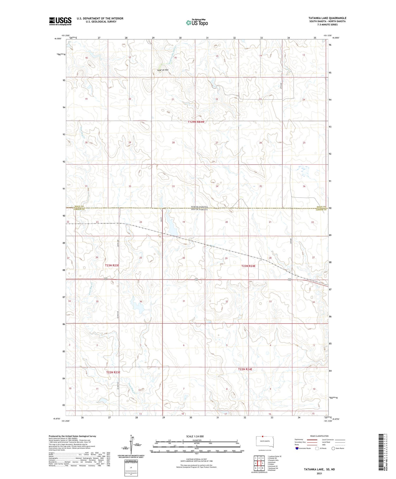
2021 topographic map quadrangle Tatanka Lake in the states of South Dakota, North Dakota. Scale: 1:24000. Based on the newly updated USGS 7.5' US Topo map series, this map is in the following counties: Corson, Sioux. The map contains contour data, water features, and other items you are used to seeing on USGS maps, but also has updated roads and other features. This is the next generation of topographic maps. Printed on high-quality waterproof paper with UV fade-resistant inks.
Quads adjacent to this one:
West: McIntosh
Northwest: Lookout Butte SE
North: Shields SW
Northeast: Pamplin Hills
East: Walker
Southeast: Bullhead
South: Bullhead SW
Southwest: McIntosh SE
Contains the following named places: John Gehring Dam, Leaf-on Hill, Richard Glines Dam, Tatanka Lake