MyTopo
Thunder Hawk SE South Dakota US Topo Map
Couldn't load pickup availability
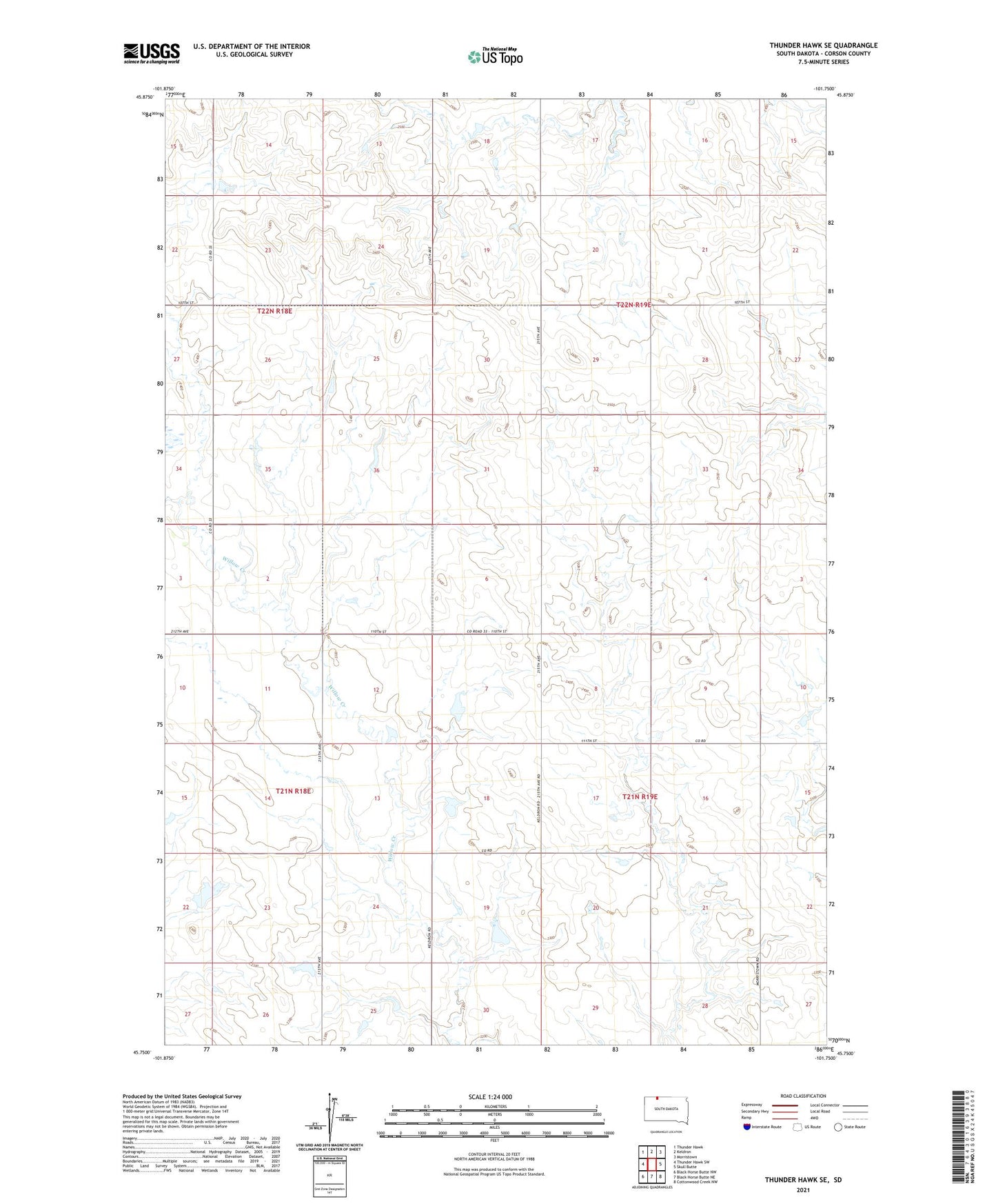
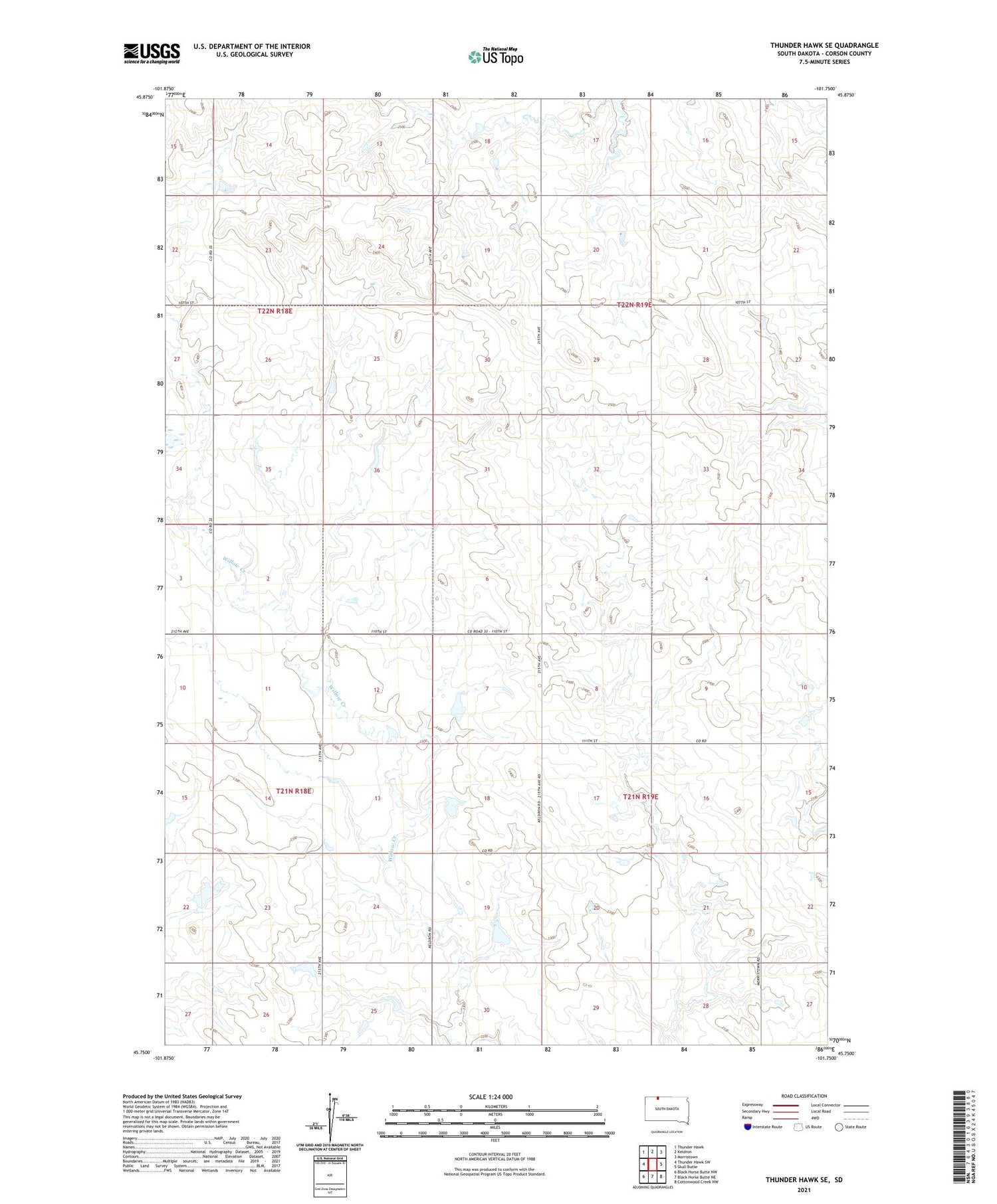
2021 topographic map quadrangle Thunder Hawk SE in the state of South Dakota. Scale: 1:24000. Based on the newly updated USGS 7.5' US Topo map series, this map is in the following counties: Corson. The map contains contour data, water features, and other items you are used to seeing on USGS maps, but also has updated roads and other features. This is the next generation of topographic maps. Printed on high-quality waterproof paper with UV fade-resistant inks.
Quads adjacent to this one:
West: Thunder Hawk SW
Northwest: Thunder Hawk
North: Keldron
Northeast: Morristown
East: Skull Butte
Southeast: Cottonwood Creek NW
South: Black Horse Butte NE
Southwest: Black Horse Butte NW
Contains the following named places: Bill Buress Dam, Jake Kern Dam, James Petik Number 1 Dam, James Petik Number 2 Dam, Lester Hetzel Dam, Township of Sherman, West Branch Willow Creek, White Deer School