MyTopo
Timber Lake South Dakota US Topo Map
Couldn't load pickup availability
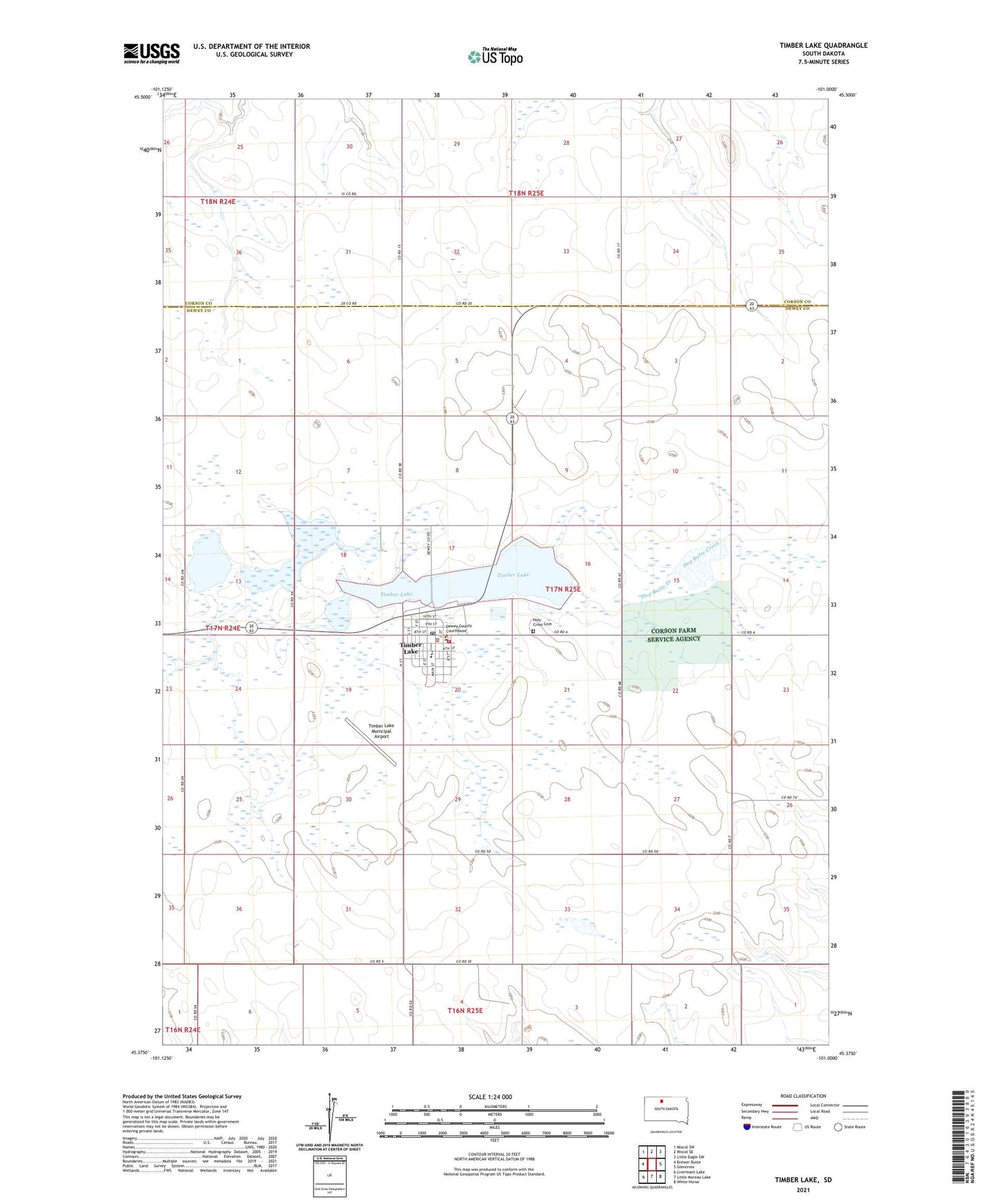
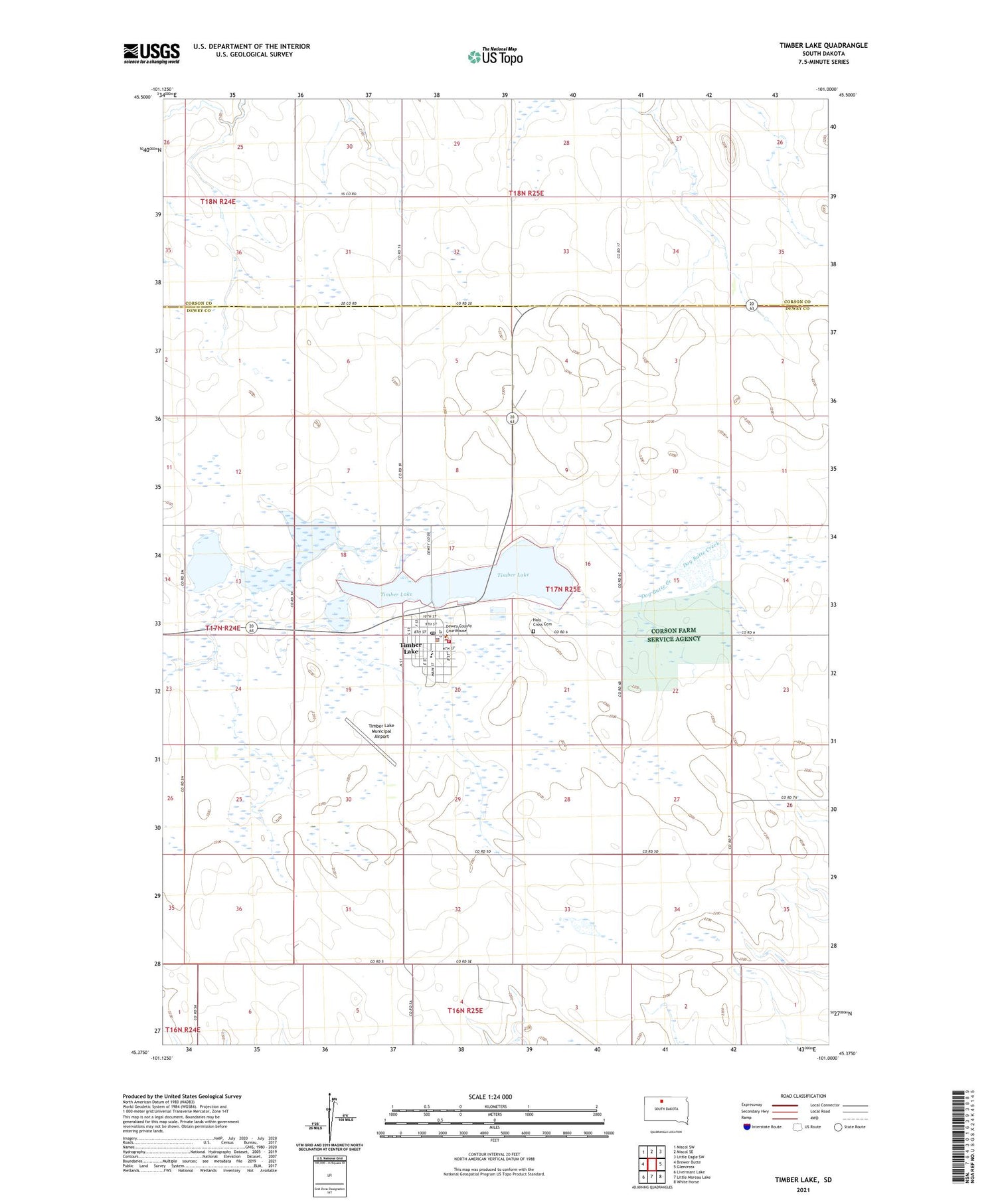
2021 topographic map quadrangle Timber Lake in the state of South Dakota. Scale: 1:24000. Based on the newly updated USGS 7.5' US Topo map series, this map is in the following counties: Dewey, Corson. The map contains contour data, water features, and other items you are used to seeing on USGS maps, but also has updated roads and other features. This is the next generation of topographic maps. Printed on high-quality waterproof paper with UV fade-resistant inks.
Quads adjacent to this one:
West: Brewer Butte
Northwest: Miscol SW
North: Miscol SE
Northeast: Little Eagle SW
East: Glencross
Southeast: White Horse
South: Little Moreau Lake
Southwest: Livermant Lake
Contains the following named places: City of Timber Lake, Dewey County Courthouse, Dewey County Library, Dewey County Sheriff, Holy Cross Cemetery, Timber Lake, Timber Lake Ambulance Service, Timber Lake and Area Historical Society Museum, Timber Lake City Hall, Timber Lake Elementary School, Timber Lake Fire Department, Timber Lake High School, Timber Lake Middle School, Timber Lake Municipal Airport, Timber Lake Police Department, Timber Lake Post Office, ZIP Code: 57656