MyTopo
Two Buttes South Dakota US Topo Map
Couldn't load pickup availability
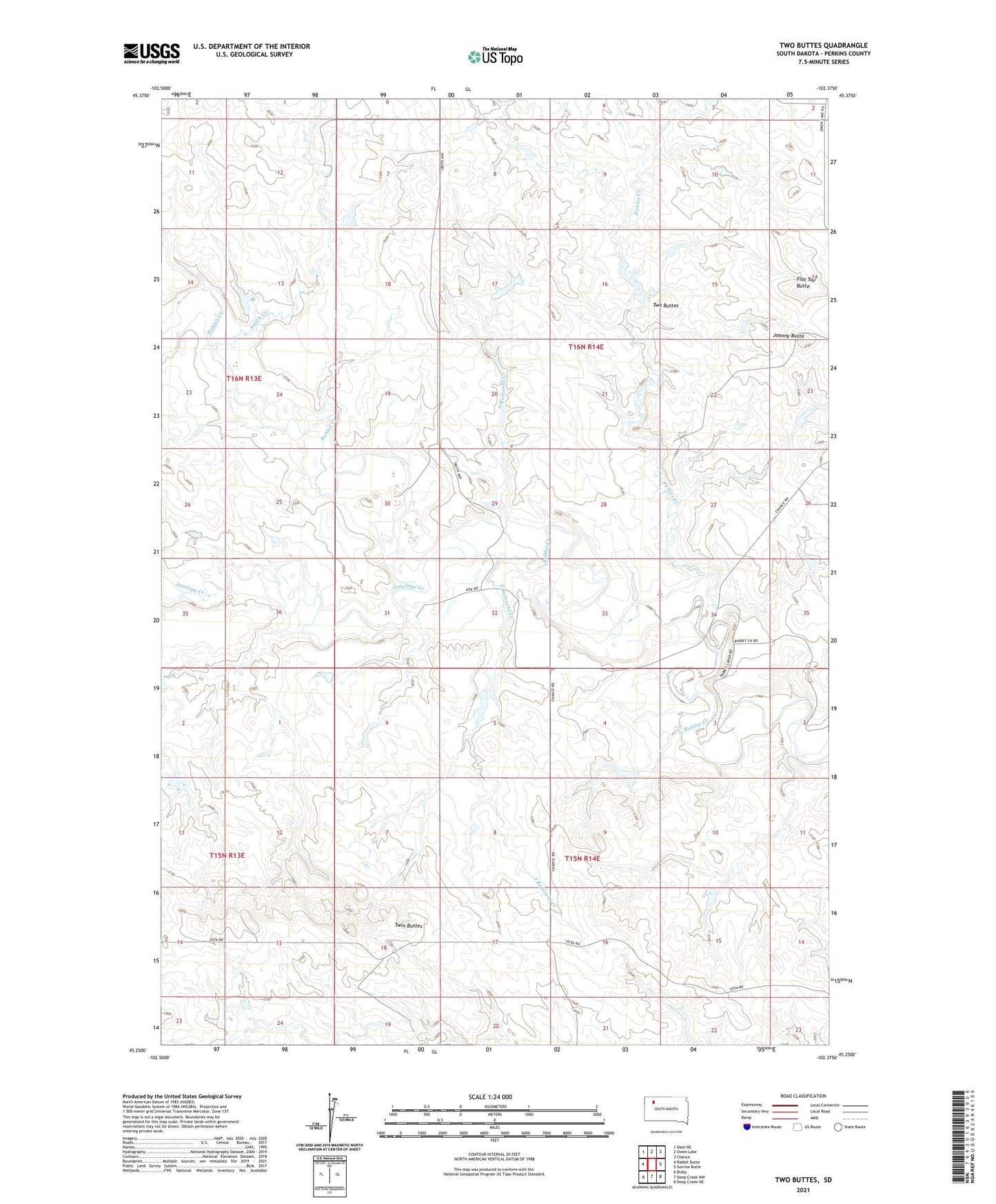
2021 topographic map quadrangle Two Buttes in the state of South Dakota. Scale: 1:24000. Based on the newly updated USGS 7.5' US Topo map series, this map is in the following counties: Perkins. The map contains contour data, water features, and other items you are used to seeing on USGS maps, but also has updated roads and other features. This is the next generation of topographic maps. Printed on high-quality waterproof paper with UV fade-resistant inks.
Quads adjacent to this one:
West: Rabbit Butte
Northwest: Date NE
North: Owen Lake
Northeast: Chance
East: Sunrise Butte
Southeast: Deep Creek NE
South: Deep Creek NW
Southwest: Bixby
Contains the following named places: Antelope Creek, Ben Clark Dam, Beryl Veal Dam, Chaudoin School, Flat Top Butte, George Clark Dam, Johnny Butte, Lewellan Engelhardt Dam, Louie Englehardt Dam, Nolan Sexton Dam, North Reinoehl Creek, Odou Patterson Dam, Old Ada School, Pickles Creek, Smith Creek, South Reinoehl Creek, Township of Ada, Township of Chaudoin, Twin Buttes, Two Buttes