MyTopo
Vayland SE South Dakota US Topo Map
Couldn't load pickup availability
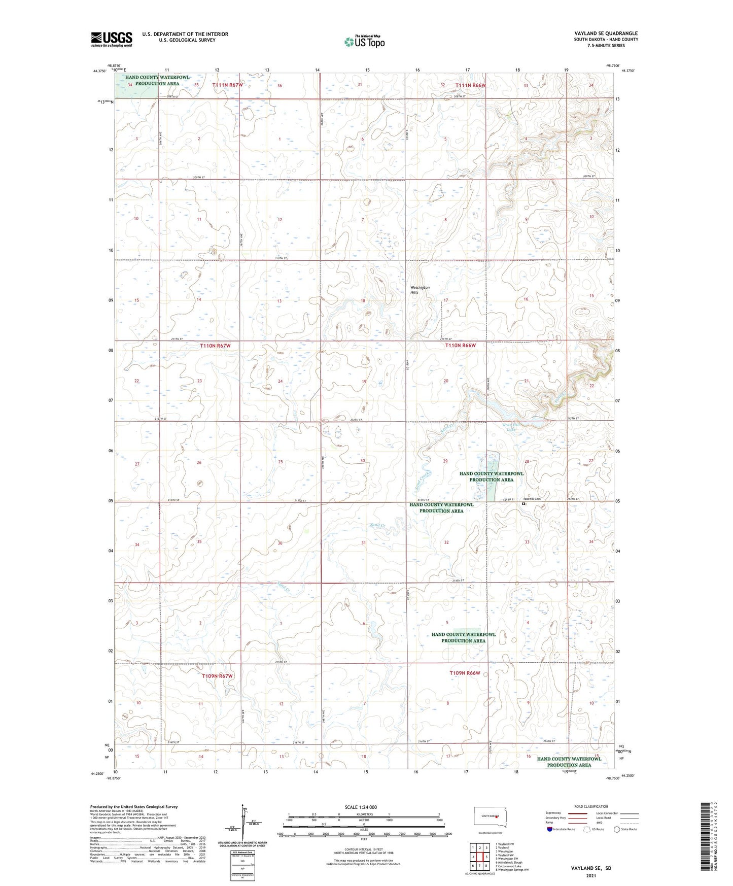
2021 topographic map quadrangle Vayland SE in the state of South Dakota. Scale: 1:24000. Based on the newly updated USGS 7.5' US Topo map series, this map is in the following counties: Hand. The map contains contour data, water features, and other items you are used to seeing on USGS maps, but also has updated roads and other features. This is the next generation of topographic maps. Printed on high-quality waterproof paper with UV fade-resistant inks.
Quads adjacent to this one:
West: Vayland SW
Northwest: Vayland NW
North: Vayland
Northeast: Wessington
East: Wessington SW
Southeast: Wessington Springs NW
South: Cottonwood Lake
Southwest: Mittelstedt Slough
Contains the following named places: Danforth, Palmer School, Prairie View School, Rose Hill Church, Rose Hill Lake, Rose Hill Lake Dam, Rose Hill Recreation Area, Rosehill Cemetery, Rowen School, Todd School, Township of Rose Hill, Wessington Hills