MyTopo
Vayland SW South Dakota US Topo Map
Couldn't load pickup availability
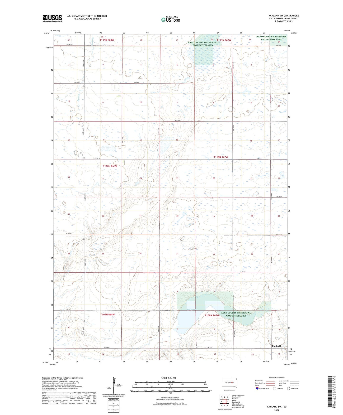
2021 topographic map quadrangle Vayland SW in the state of South Dakota. Scale: 1:24000. Based on the newly updated USGS 7.5' US Topo map series, this map is in the following counties: Hand. The map contains contour data, water features, and other items you are used to seeing on USGS maps, but also has updated roads and other features. This is the next generation of topographic maps. Printed on high-quality waterproof paper with UV fade-resistant inks.
Quads adjacent to this one:
West: Ames
Northwest: Miller Dale Colony
North: Vayland NW
Northeast: Vayland
East: Vayland SE
Southeast: Cottonwood Lake
South: Mittelstedt Slough
Southwest: Duncan Church
Contains the following named places: C McGillvrey Dam, Center School, Danforth, Dean, Hand County Waterfowl Production Area, Hiland Township Hall, Horseshoe Bend School, Keck School, Kintigh School, Lake View School, McCool School, Nelson School, Ohio School, Pleasant Valley Church, Spring Lake, Sunshine Bible Elementary School, Sunshine Bible High School, Sweetland, Township of Hiland, Wall Lake