MyTopo
Wendte NE South Dakota US Topo Map
Couldn't load pickup availability
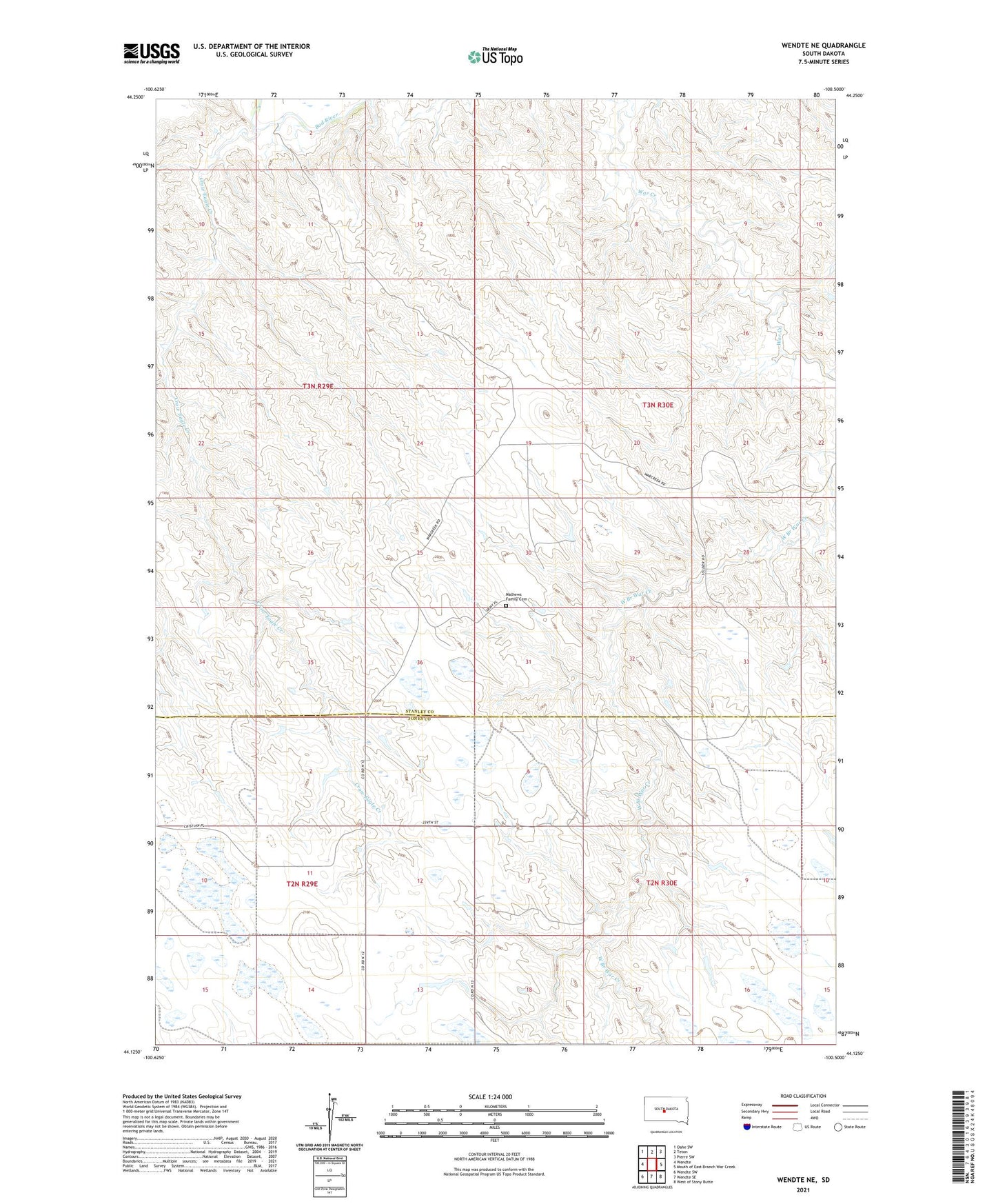
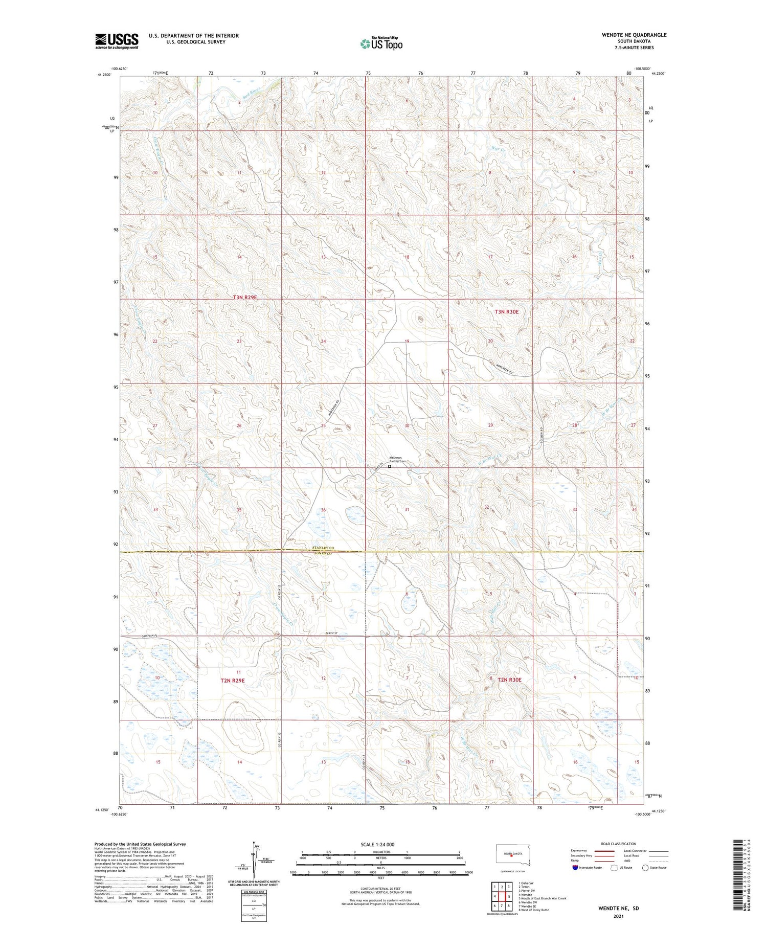
2021 topographic map quadrangle Wendte NE in the state of South Dakota. Scale: 1:24000. Based on the newly updated USGS 7.5' US Topo map series, this map is in the following counties: Stanley, Jones. The map contains contour data, water features, and other items you are used to seeing on USGS maps, but also has updated roads and other features. This is the next generation of topographic maps. Printed on high-quality waterproof paper with UV fade-resistant inks.
Quads adjacent to this one:
West: Wendte
Northwest: Oahe SW
North: Teton
Northeast: Pierre SW
East: Mouth of East Branch War Creek
Southeast: West of Stony Butte
South: Wendte SE
Southwest: Wendte SW
Contains the following named places: Crow Eagle Creek, Livermore Dam, Louis Bonhorst Number 1 Dam, Mathews Brothers Number 1 Dam, Mathews Brothers Number 2 Dam, Mathews Family Cemetery, Osborne Number 3 Dam, Township of Wendte, Werckman School