
MyTopo
Teague Tennessee US Topo Map
Couldn't load pickup availability
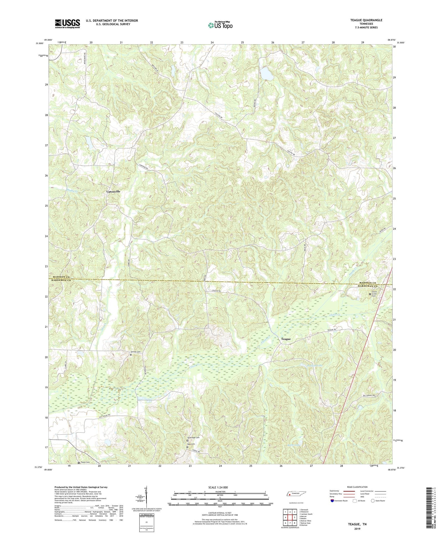
2019 topographic map quadrangle Teague in the state of Tennessee. Scale: 1:24000. Based on the newly updated USGS 7.5' US Topo map series, this map is in the following counties: Madison, Hardeman. The map contains contour data, water features, and other items you are used to seeing on USGS maps, but also has updated roads and other features. This is the next generation of topographic maps. Printed on high-quality waterproof paper with UV fade-resistant inks.
Quads adjacent to this one:
West: Mercer
Northwest: Denmark
North: Westover
Northeast: Jackson South
East: Medon
Southeast: Silerton
South: Bolivar East
Southwest: Bolivar West
Contains the following named places: Antioch Church, Bean Creek, Bethlehem Church, Butler Lake, Clover Creek Cemetery, Cobb Creek, Commissioner District 8, Cypress Creek, Dry Creek, Eberneezer Church, Holland Lake, Johnson Creek Dam Two, Johnson Creek Lake Two, Maple Springs Church, Marshall Chapel, Marshall School, Medon Church, Medon Division, New Union Church, Pugh Creek, Sandy Creek, Sweeton Branch, Tate Cemetery, Teague, Toone Cemetery, Uptonville, Vernon Cemetery, Yarbrough Cemetery, ZIP Code: 38356


