MyTopo
Medon Tennessee US Topo Map
Couldn't load pickup availability
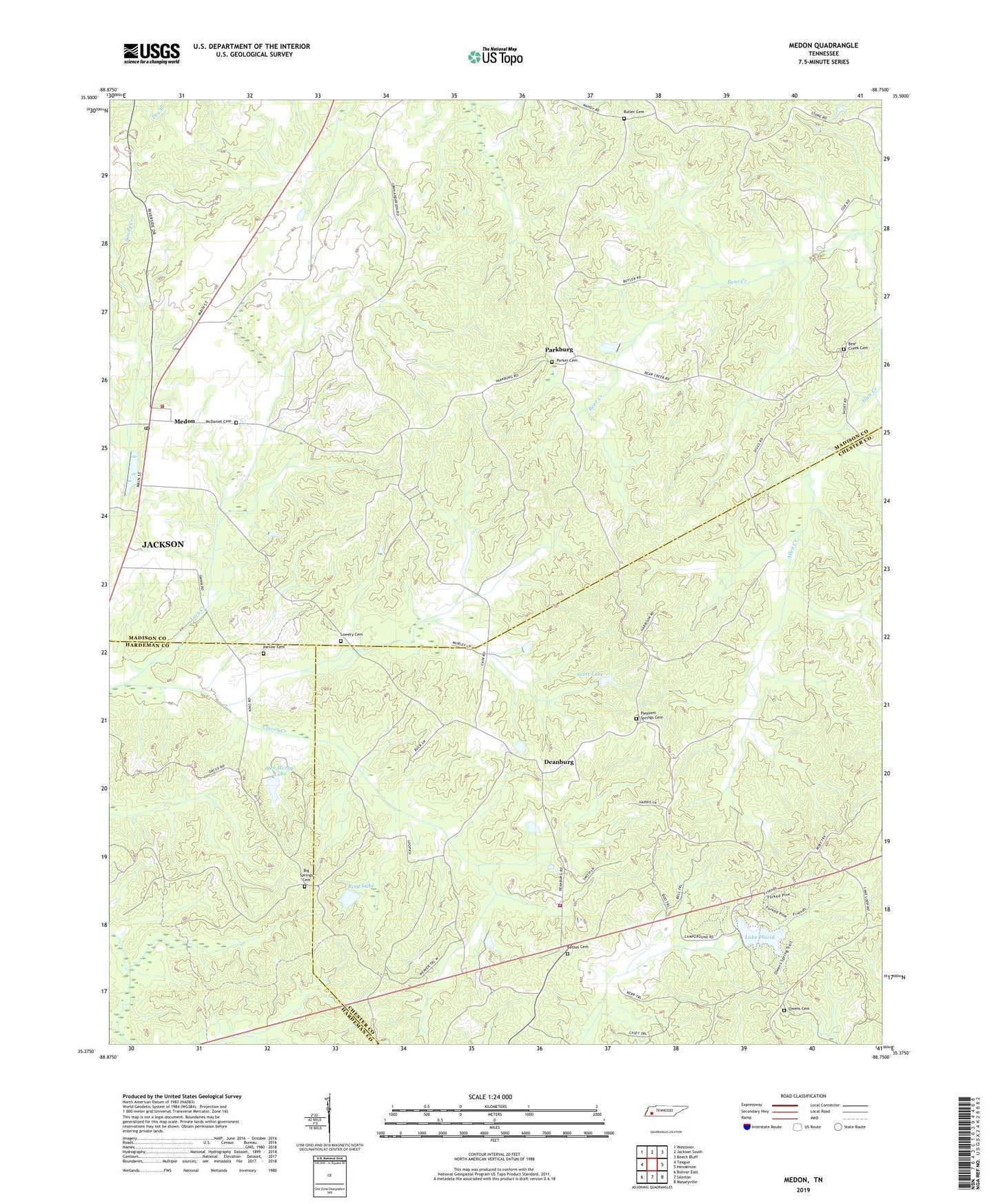
2022 topographic map quadrangle Medon in the state of Tennessee. Scale: 1:24000. Based on the newly updated USGS 7.5' US Topo map series, this map is in the following counties: Madison, Chester, Hardeman. The map contains contour data, water features, and other items you are used to seeing on USGS maps, but also has updated roads and other features. This is the next generation of topographic maps. Printed on high-quality waterproof paper with UV fade-resistant inks.
Quads adjacent to this one:
West: Teague
Northwest: Westover
North: Jackson South
Northeast: Beech Bluff
East: Henderson
Southeast: Masseyville
South: Silerton
Southwest: Bolivar East
This map covers the same area as the classic USGS quad with code o35088d7.
Contains the following named places: Allen Creek, Bear Creek, Bear Creek Cemetery, Bear Creek Church, Ben Henry Lake, Ben Henry Lake Dam, Bethel Baptist Church, Bethel Cemetery, Big Springs Cemetery, Big Springs Church, Burkhad Chapel, Butler Cemetery, Chester County Fire Department / Deanburg Volunteer Fire Department Station 540, City of Medon, Clover Creek Church, Commissioner District 6, Couples Store, Deanburg, Deanburg Hills Dam, Deanburg Hills Lake, Deanburg School, Deer Creek, Fern Loop Nature Trail, Forked Pine Nature Trail, King Dam, King Lake, Lacy Creek, Lake Placid, Lake Placid Camp, Lake Placid Dam, Lakeshore Nature Trail, Lowery Cemetery, Madison County Fire Department Station 9, McDaniel Cemetery, Medon, Medon Post Office, Nelson Branch, New Church, Owens Cemetery, Owens Mills, Parkburg, Parkburg Church, Parker Cemetery, Parlow Cemetery, Pleasant Springs Cemetery, Pleasant Springs Church, Rosenwald School, Scott Lake, Shiloh School, Wilderwood Dam, Wilderwood Lake