
MyTopo
Allamoore Texas US Topo Map
Couldn't load pickup availability
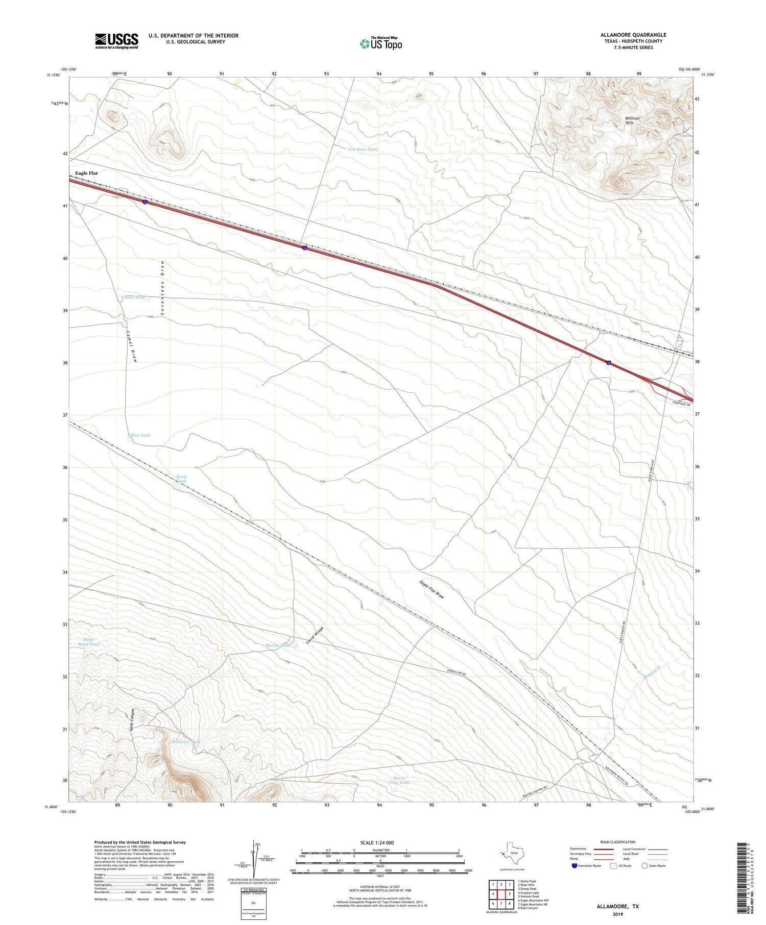
2019 topographic map quadrangle Allamoore in the state of Texas. Scale: 1:24000. Based on the newly updated USGS 7.5' US Topo map series, this map is in the following counties: Hudspeth. The map contains contour data, water features, and other items you are used to seeing on USGS maps, but also has updated roads and other features. This is the next generation of topographic maps. Printed on high-quality waterproof paper with UV fade-resistant inks.
Quads adjacent to this one:
West: Grayton Lake
Northwest: Dome Peak
North: Bean Hills
Northeast: Sheep Peak
East: Hackett Peak
Southeast: Bass Canyon
South: Eagle Mountains NE
Southwest: Eagle Mountains NW
Contains the following named places: Allamoore, Allamoore Cemetery, Booth Ranch, Camel Draw, Camel Tank, Corral Arroyo, Dees Ranch, Espy Ranch, Goat Canyon, Horse Trap Tank, Hot Wells, Jim Bean Tank, Martin Tank, Mineral Creek, Road Tank, Seventeen Draw, Silva Tank, Stage Road Tank, Williams Tank


