MyTopo
Bailey Creek Texas US Topo Map
Couldn't load pickup availability
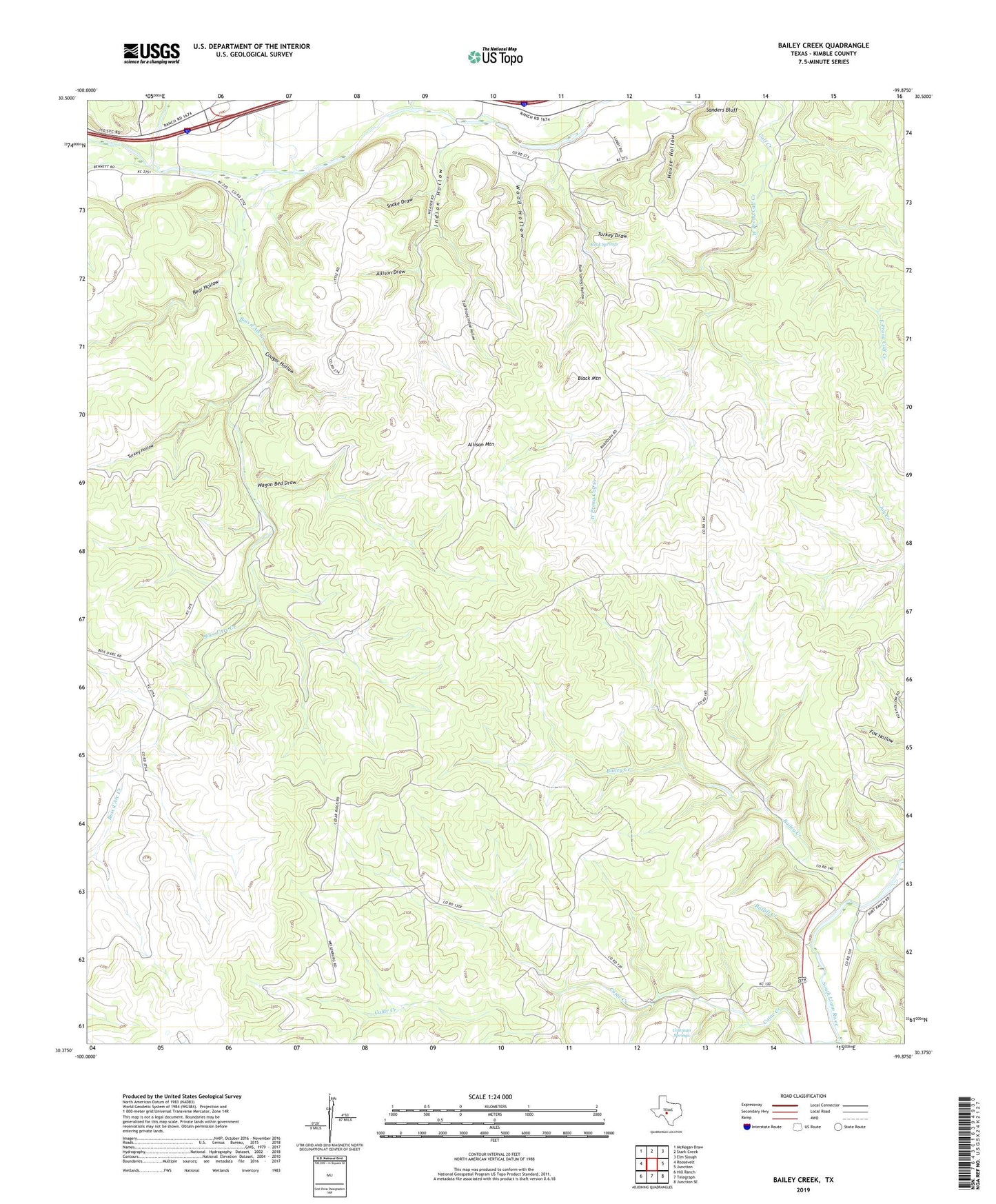
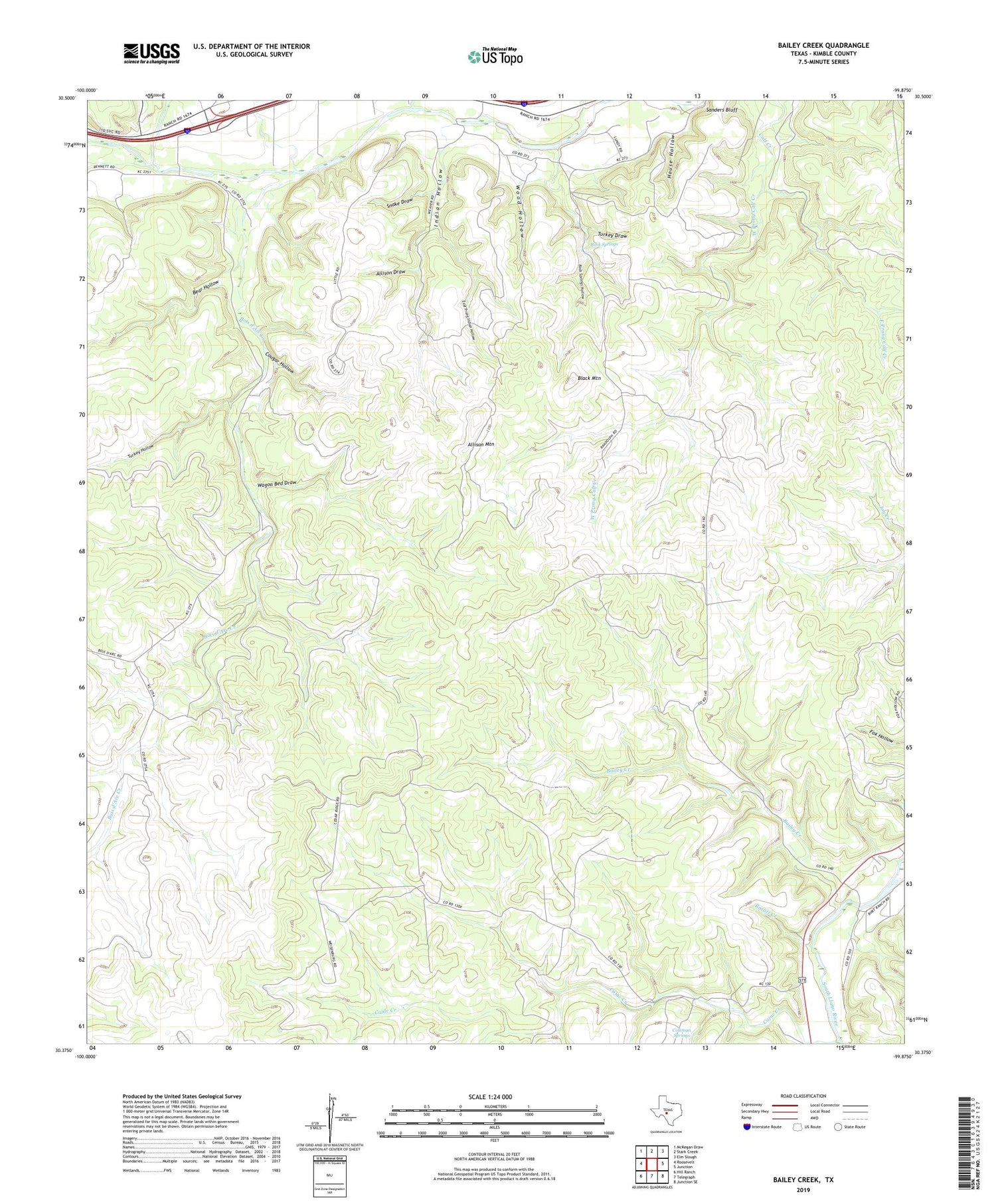
2019 topographic map quadrangle Bailey Creek in the state of Texas. Scale: 1:24000. Based on the newly updated USGS 7.5' US Topo map series, this map is in the following counties: Kimble. The map contains contour data, water features, and other items you are used to seeing on USGS maps, but also has updated roads and other features. This is the next generation of topographic maps. Printed on high-quality waterproof paper with UV fade-resistant inks.
Quads adjacent to this one:
West: Roosevelt
Northwest: McKegan Draw
North: Stark Creek
Northeast: Elm Slough
East: Junction
Southeast: Junction SE
South: Telegraph
Southwest: Hill Ranch
Contains the following named places: Allison Draw, Allison Mountain, Bailey Creek, Bear Hollow, Black Mountain, Bois d'Arc Creek, Cajac Creek, Cedar Hollow Creek, Coleman Springs, Copperas Creek, Cougar Hollow, East Prong Calf Creek, East Prong Indian Hollow, House Hollow, Indian Hollow, Ratliff Creek, Rock Springs, Rock Springs Hollow, Sanders Bluff, Snake Draw, Stark Creek, Turkey Draw, Turkey Hollow, Wagon Bed Draw, West Prong Calf Creek, Wood Hollow