
MyTopo
Black Waterhole Texas US Topo Map
Couldn't load pickup availability
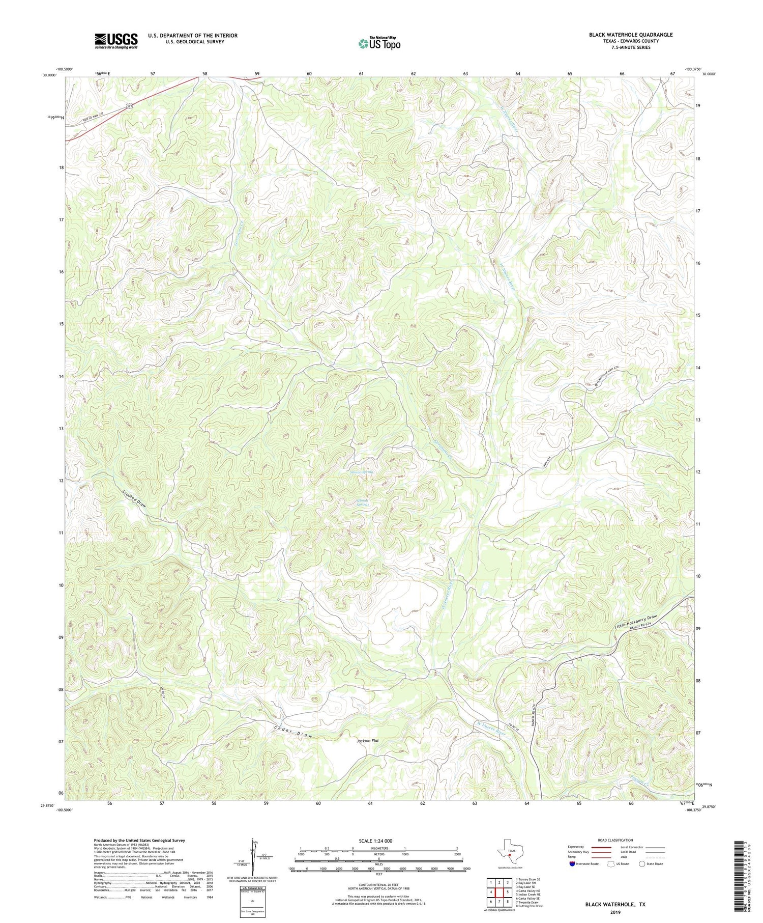
2019 topographic map quadrangle Black Waterhole in the state of Texas. Scale: 1:24000. Based on the newly updated USGS 7.5' US Topo map series, this map is in the following counties: Edwards. The map contains contour data, water features, and other items you are used to seeing on USGS maps, but also has updated roads and other features. This is the next generation of topographic maps. Printed on high-quality waterproof paper with UV fade-resistant inks.
Quads adjacent to this one:
West: Carta Valley NE
Northwest: Turney Draw SE
North: Ray Lake SW
Northeast: Ray Lake SE
East: Indian Creek NE
Southeast: Cutting Pen Draw
South: Twomile Draw
Southwest: Carta Valley SE
Contains the following named places: Black Waterhole, Cedar Draw, Crooked Draw, Geronimo Creek, Jackson Flat, Little Hackberry Draw, Rocksprings South Division, Silman Spring, Silman Springs


