MyTopo
Blue Ridge School Texas US Topo Map
Couldn't load pickup availability
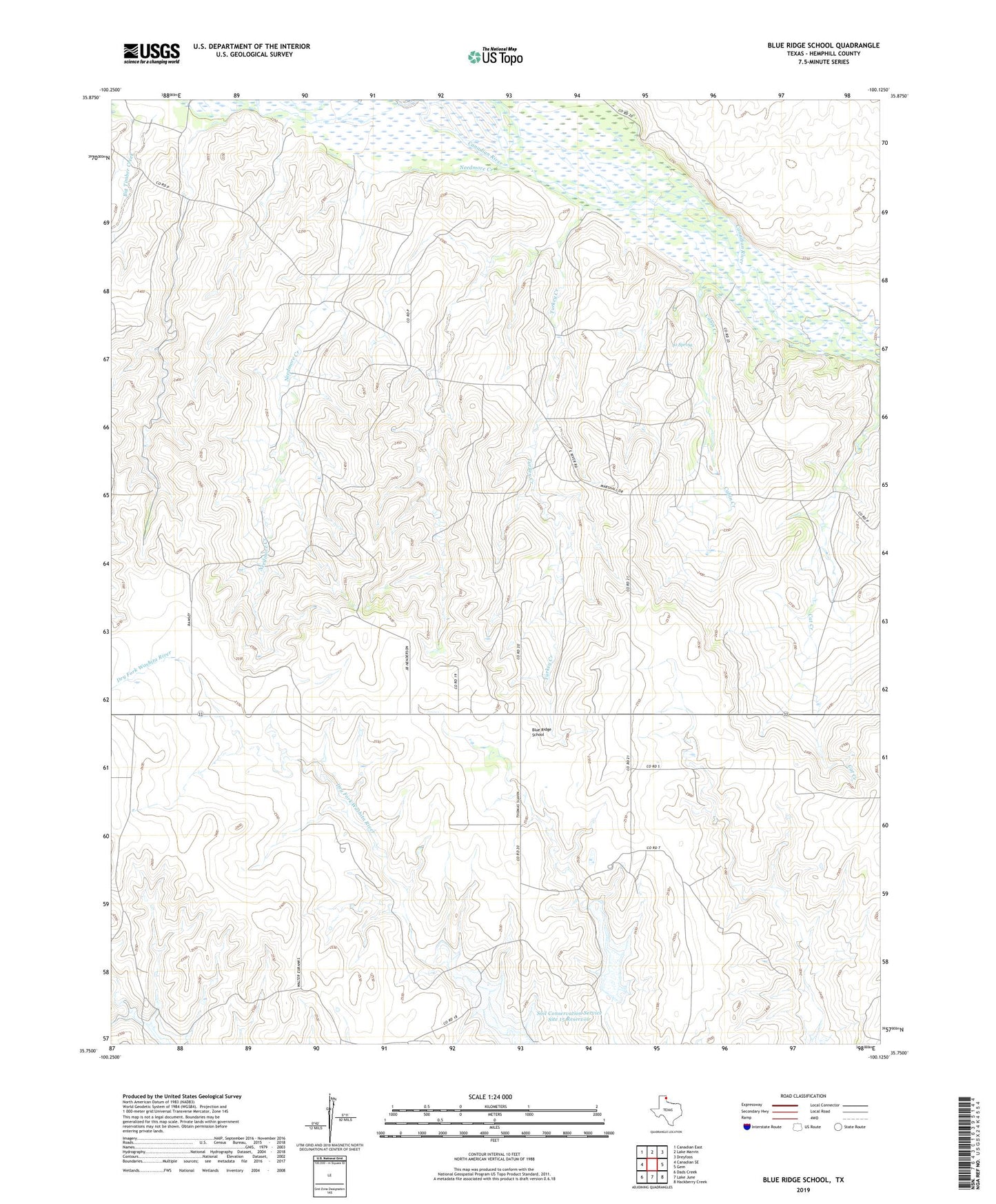
2019 topographic map quadrangle Blue Ridge School in the state of Texas. Scale: 1:24000. Based on the newly updated USGS 7.5' US Topo map series, this map is in the following counties: Hemphill. The map contains contour data, water features, and other items you are used to seeing on USGS maps, but also has updated roads and other features. This is the next generation of topographic maps. Printed on high-quality waterproof paper with UV fade-resistant inks.
Quads adjacent to this one:
West: Canadian SE
Northwest: Canadian East
North: Lake Marvin
Northeast: Dreyfoos
East: Gem
Southeast: Hackberry Creek
South: Lake June
Southwest: Dads Creek
Contains the following named places: Big Timber Creek, Blue Ridge School, Cabin Creek, Canadian South Division, Jo Spring, Needmore Creek, Soil Conservation Service Site 15a Dam, Soil Conservation Service Site 15a Reservoir, Turkey Creek