MyTopo
Bob Creek Texas US Topo Map
Couldn't load pickup availability
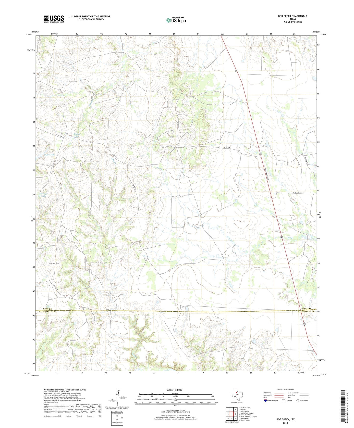
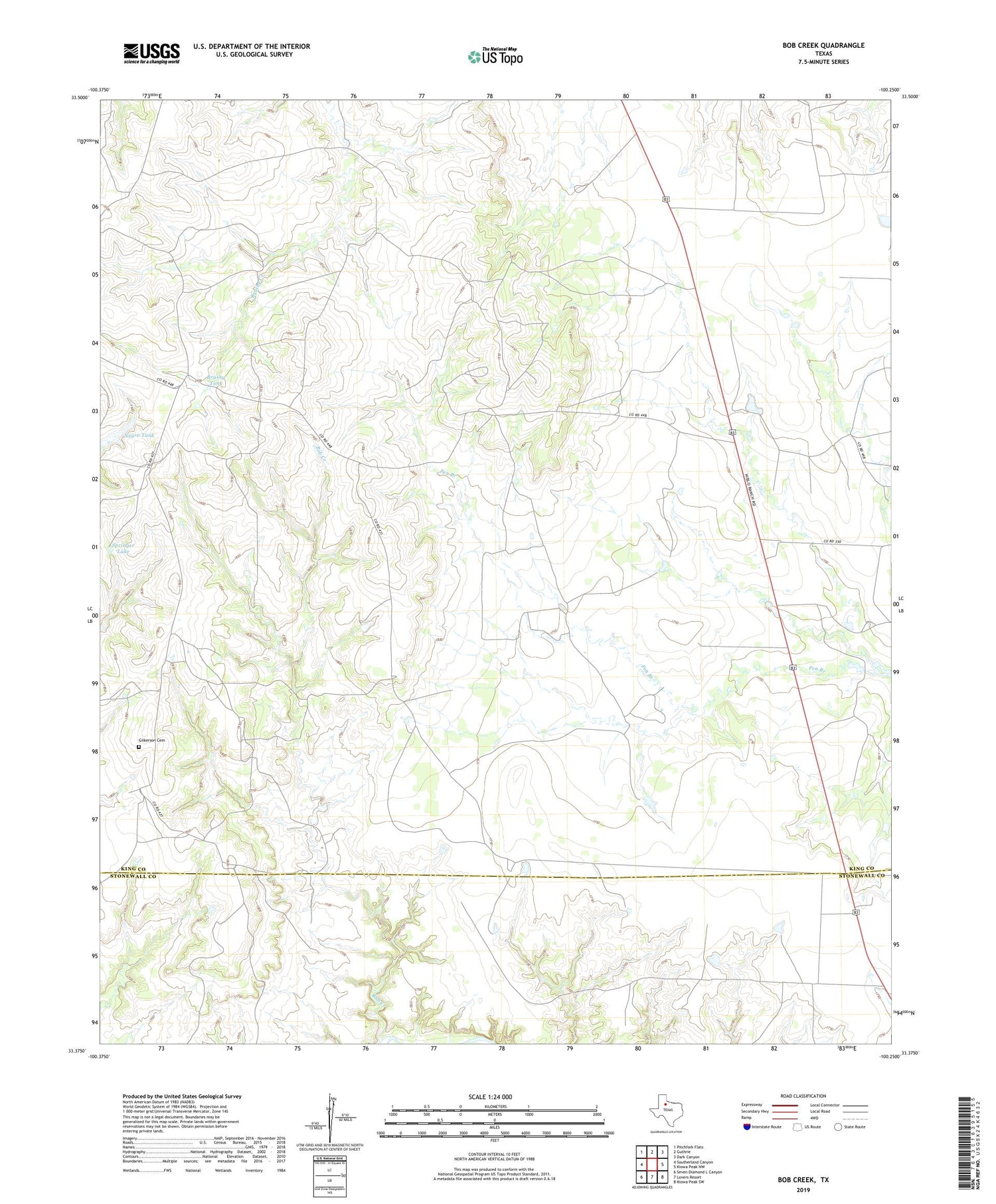
2019 topographic map quadrangle Bob Creek in the state of Texas. Scale: 1:24000. Based on the newly updated USGS 7.5' US Topo map series, this map is in the following counties: King, Stonewall. The map contains contour data, water features, and other items you are used to seeing on USGS maps, but also has updated roads and other features. This is the next generation of topographic maps. Printed on high-quality waterproof paper with UV fade-resistant inks.
Quads adjacent to this one:
West: Southerland Canyon
Northwest: Pitchfork Flats
North: Guthrie
Northeast: Dark Canyon
East: Kiowa Peak NW
Southeast: Kiowa Peak SW
South: Lovers Resort
Southwest: Seven Diamond L Canyon
Contains the following named places: Bob Creek, Brushy Tank, Brushy Tank Dam, Deadmans Hole, Gilkerson Cemetery, Martin Ranch, Matthew Hooks Reservoir, Salt Croton Creek, Springer Lake, Springer Lake Dam