
MyTopo
Bradford Creek Texas US Topo Map
Couldn't load pickup availability
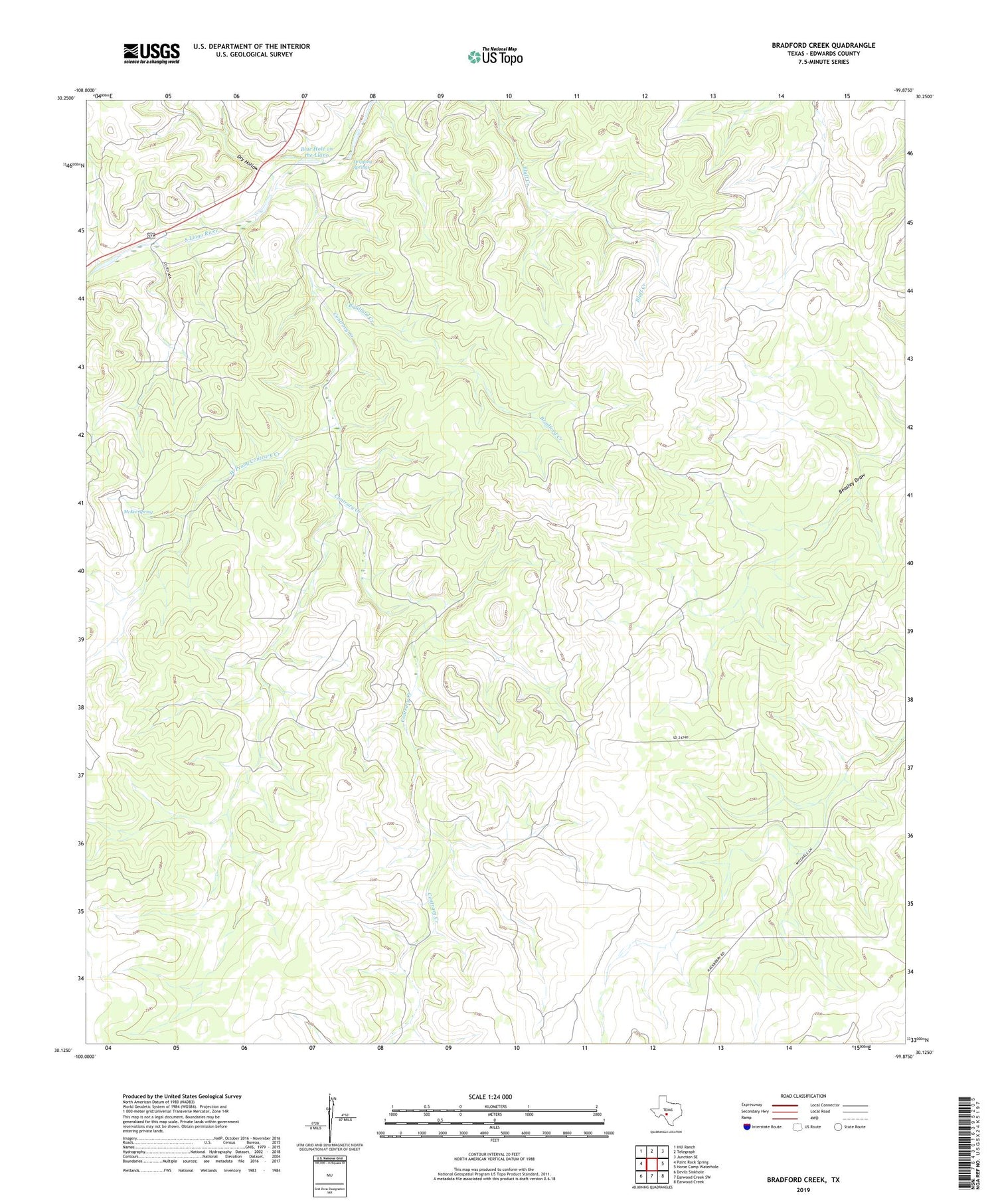
2019 topographic map quadrangle Bradford Creek in the state of Texas. Scale: 1:24000. Based on the newly updated USGS 7.5' US Topo map series, this map is in the following counties: Edwards. The map contains contour data, water features, and other items you are used to seeing on USGS maps, but also has updated roads and other features. This is the next generation of topographic maps. Printed on high-quality waterproof paper with UV fade-resistant inks.
Quads adjacent to this one:
West: Paint Rock Spring
Northwest: Hill Ranch
North: Telegraph
Northeast: Junction SE
East: Horse Camp Waterhole
Southeast: Earwood Creek
South: Earwood Creek SW
Southwest: Devils Sinkhole
Contains the following named places: Blue Hole on the Llano, Bradford Creek, Contrary Creek, Double Round Tank Windmill, Double Tank Windmill, Dripping Springs, Dry Hollow, McKee Spring, Shearing Barn Windmill, West Prong Contrary Creek


