MyTopo
Bullis Gap Texas US Topo Map
Couldn't load pickup availability
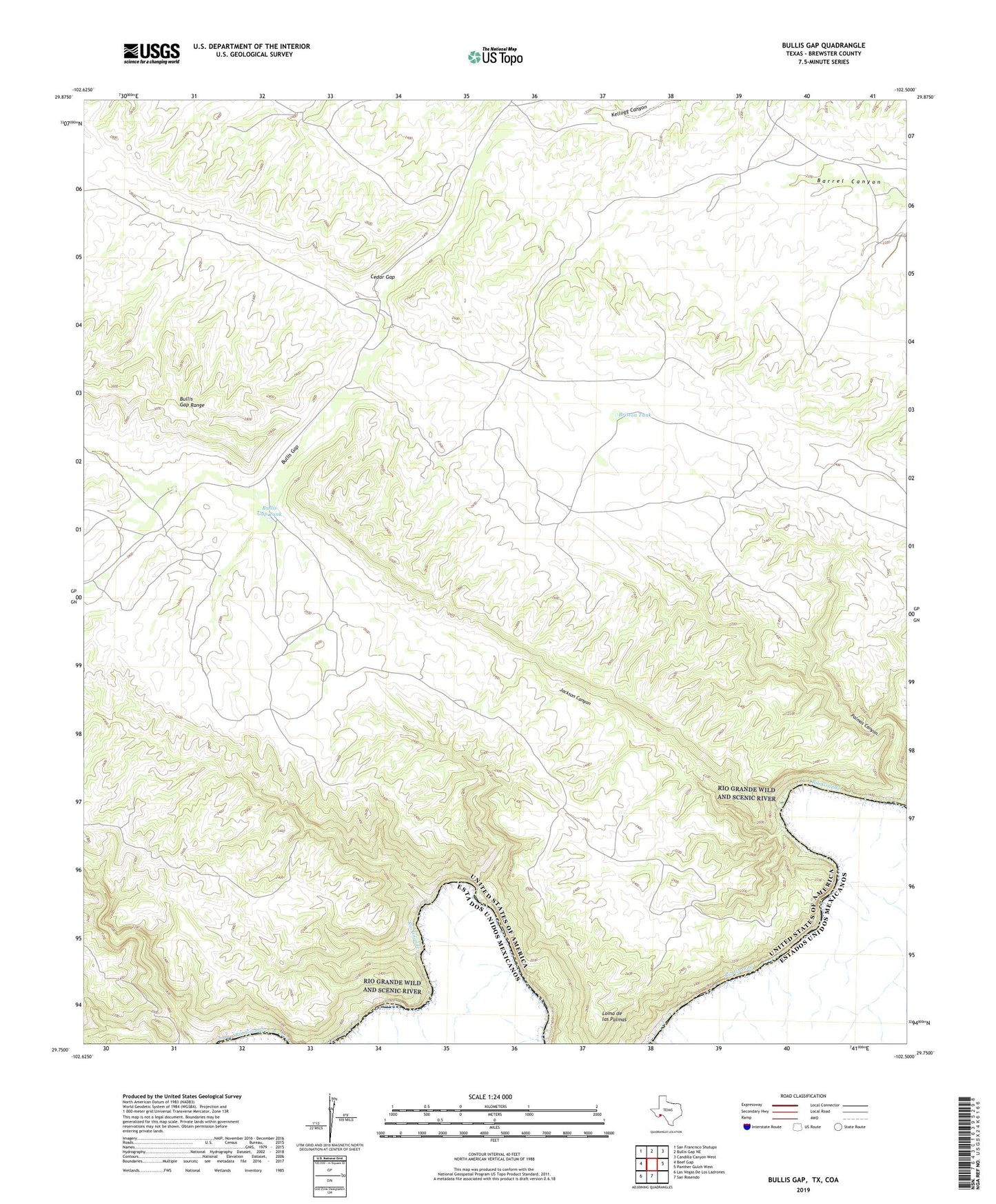
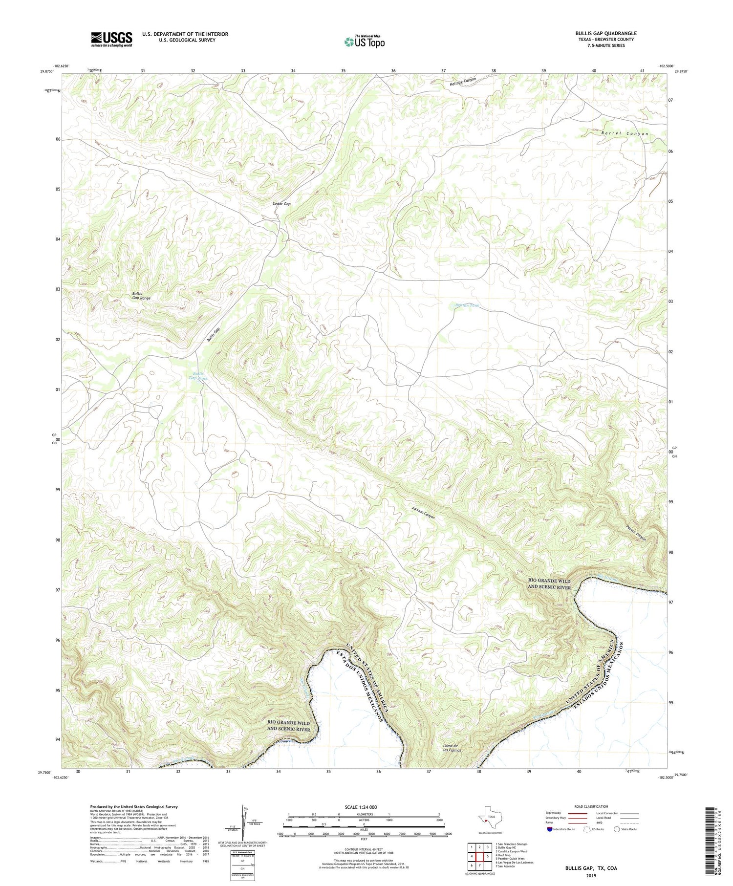
2019 topographic map quadrangle Bullis Gap in the state of Texas. Scale: 1:24000. Based on the newly updated USGS 7.5' US Topo map series, this map is in the following counties: Brewster. The map contains contour data, water features, and other items you are used to seeing on USGS maps, but also has updated roads and other features. This is the next generation of topographic maps. Printed on high-quality waterproof paper with UV fade-resistant inks.
Quads adjacent to this one:
West: Beef Gap
Northwest: San Francisco Shutups
North: Bullis Gap NE
Northeast: Candilla Canyon West
East: Panther Gulch West
South: San Rosendo
Southwest: Las Vegas De Los Ladrones
Contains the following named places: Britton Tank, Bullis Gap Range, Bullis Gap Tank, Cedar Gap, Dallam - Hartley County Library, Jackson Canyon, Loma de las Palmas, Palmas Canyon, Valdez Goat Camp